Very cold. Freezing fog all day. Frozen ground. Walked in multiple layers with mitts on and down jacket. -7 degrees. No sun till afternoon in a different valley.
Parked at Dunley by the road to Shavers end quary (5km from home).
Walked across frozen fields, enveloped in fog, down ancient cartways and past old churches, through sleeping hamlets and winding footpaths, Through frozen mud solid like when you mix chocolate with Weetabix or sticky like nougat.
Past an old mill.
Walked past the monestary which isn't that interesting when you see it up close.
I threw a stick in a frozen like and it stabbed the ice.
We saw carrots tucked in for winter under straw, onions, cabbages.
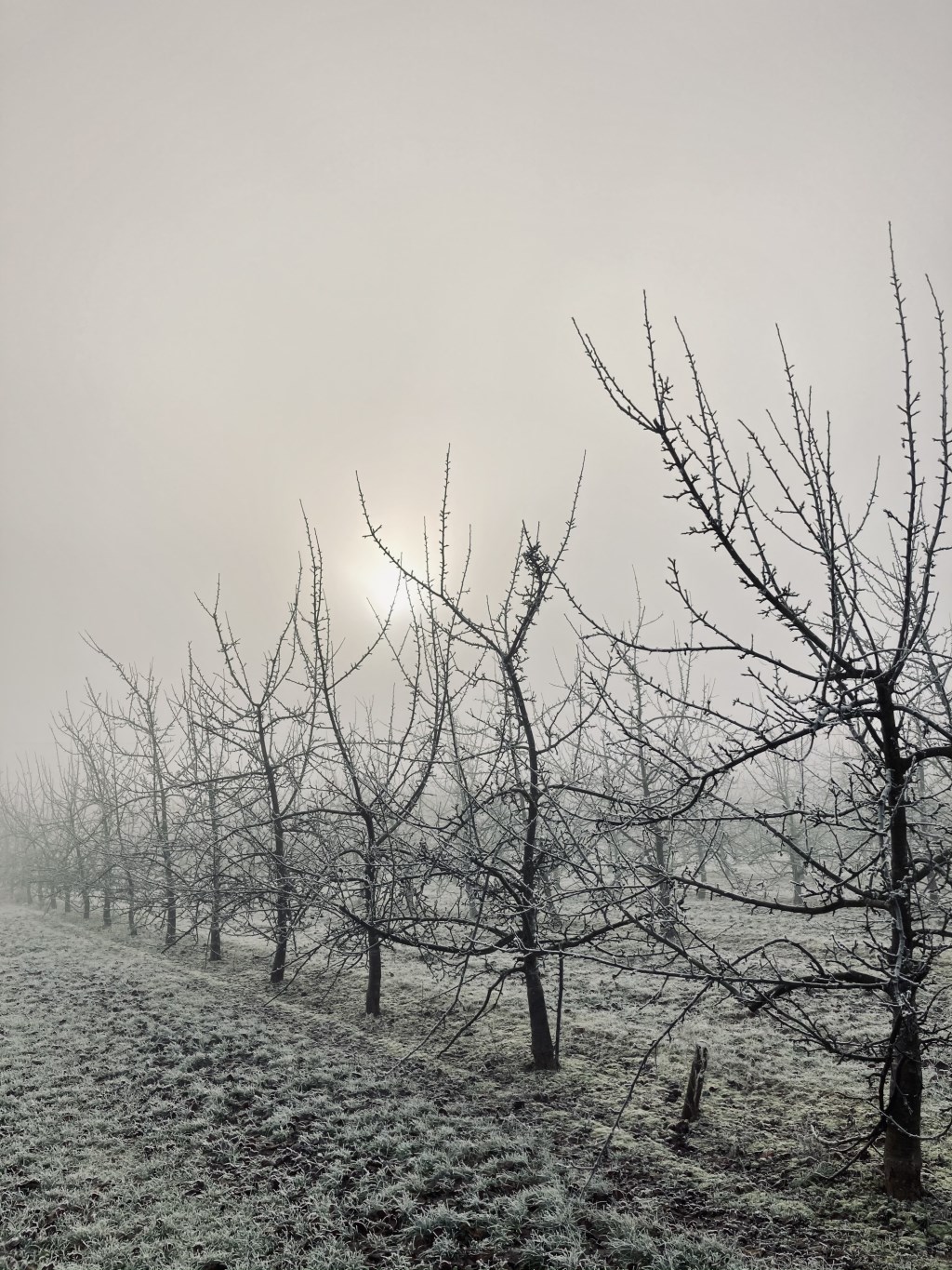
We walked down row after row of apply orchard and saw the sun trying to burn through to fog.
We climbed over Woodbury Hill and there, almost like a new world, we saw the Teme Valley from above the cloud, looking down into what looked like a mighty sea, with the Malvern hills beyond, looking like Mountains in the mist.
We walked past Mr horse in his field, over a stile, wedged kindly between an electric fence and barbed wire. We descended through a plantation of giant trees, and gazed at an amazing view, not even spoilt by powerlines.
We walked the ridge and slid down and field of bemused sheep (tried out my microspikes that I've had for several years but not really used, due to wearing crampons). We saw children sledging in the grounds of Abberley school.
Gazed at the clock tower, watched sunset form the Abberley hills and wound our way in darkness above shavers end quary, scaring all the birds trying to roost, and back to the car. Road had turned into an ice rink!
21km. Only say 1 runner and a dog and a runner in the whole walk.
-7 until we reached the sun in the Teme valley where it was -2 deg.
Route planned myself.