I planned this walk entirely myself using a combination of familiar paths and also introduced 3 totally new areas we had not walked before. I used the OS explorer map OL22. 1:25000 scale. I navigated the whole walk and explained to my 'equals' partner where we were going. I ended up on the wrong path in one of the new areas but realised immediately and used the OS map on my phone to correct myself. At times the paths were a bit overgrown in one area and it was not particularly pleasant walking, however the other two new areas were very suitable for a lowland walk.
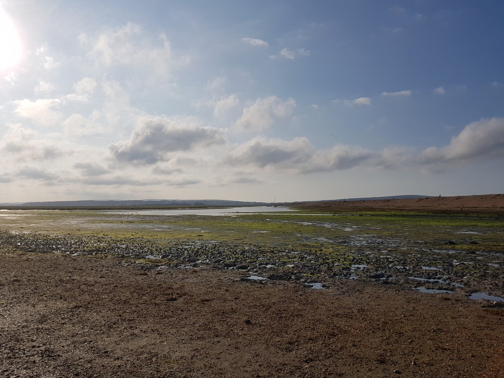
Start at Hordle Cliff car park. Head out of carpark entrance and cross road to continue along road straight ahead to road junction. 300m. Cross road and enter wooded area by footpath on right. Turn right at path junction and continue on path keeping stream on left to T junction of footpaths, turn left for 200m and then take path on right through wood and then open area to road 1mile/1.6km. Turn left on road for 0.25 miles. Turn right on road towards hospital, immediately take path to left following stream. and then past Sturt Pond ( Picture taken here across reeds at end of pond with Tennyson Down on IOW in background.) for 0.9miles/1.4km. At sea front turn left and follow coast to Keyhaven carpark 1.1 miles/ 1.8km. Walk diagonally across car park and cross bridge. Follow road and then track to end of houses. 0.3 miles/ 0.5km. Turn left onto ILey Lane for 1 mile/1.6km turn right across edge of fields for 0.5 miles/ 0.8km. to road. Turn left for 300m to footpath on right. Follow for 0.3 miles/ 0.5km to road. Turn right on road 0.4 miles/0.6km. Turn left onto track just after 2 houses on left. Follow footpath to coast. Turn right at coast and follow to Hordle Cliff. 5.5 miles/ 8.9km
Total distance 11.25miles/18.1 km Time taken 4hrs 5 mins.