Buttermere Fells: From Gatesgarth Farm parking lot at the east end of Buttermere - ascended to Haystacks (597m), High Crag (744m), Grey Crag (807m), High Stile (806m), Red Pike (755m), Dodd (502), descended to the west end of Buttermere, turned back east along the edge of the lake to the east end of Buttermere and back to the Garthgate parking lot.
Total Time: 6 hours 15 minutes; Total Distance 13.56km; Total Ascent: 1,151m
Route Planning was conducted using OS Maps App on computer and printing and laminating A4 size map. The route is evidently a popular one, as the trail was easily recognizable on the ground, which was good, considering the weather experience.
Weather planning was conducted before this two day trip to the Lake District, with an overnight camp at Borrowdale YHA. Though I did check updates using phone apps for Met Office. I had tracked MWIS Fleeting View reports in advance and they did call for Gale Force winds (in north and west Scotland). Rain forecast was 10% probability all day, with 'Good' visibility However, named storm "Malik" which had not been mentioned in previous days, raced in on Friday morning. Actual rain was 100% all day. Visibility was poor, often down to 20m, and winds on the summits and ridge line of the Buttermere Fells was mostly Gale Force.
I was somewhat fooled by ascending from the north up to Haystacks as I was in the lee of the mountain. The winds were gusting, but acceptable. It was not until I reached the saddle between Haystacks and Seat that I experienced high gusting winds. Visibility was still good at this point, and on the scramble to the summit of Haystacks the wind gust knocked me down to a knee twice. I seriously contemplated taking the escape route of descending back down to Buttermere at that point, but descending back into the saddle I again came out of the high winds, and decided to continue, since I had already made a significant amount of the ascent.
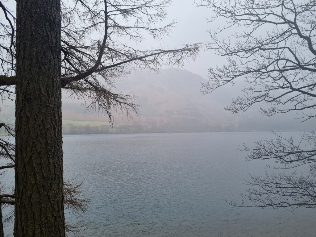
I regretted that soon as I made the high ridgeline and visibility went to bad, the winds and blasting rain were at gale force. I basically put my head down and pushed through it until the far west end, descended back down to Buttermere.
Not a pleasant walk. However, I did stay dry, as my kit held up to the conditions. That is except my SATMAP GPS, which once again failed to keep the track for the route.
Because of the conditions I took few photos after the summit of Haystacks as my phone ended up buried under waterproofs and there was limited visibility anyway.
Area :
Western Fells
The Western Fells form the southern wall of the Buttermere valley and the northern fence of Wasdale. Between the two lies Ennerdale so that in effect the group is the shape of a single horseshoe, each branch about 10 miles in length.
At the head of Ennerdale stands Great Gable. The southern arc of the group travels due west from Great Gable, the main ridge consisting of Kirk Fell, Pillar, Scoat Fell, Haycock and Caw Fell.