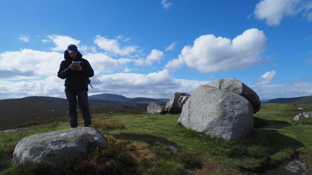
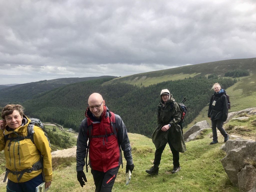
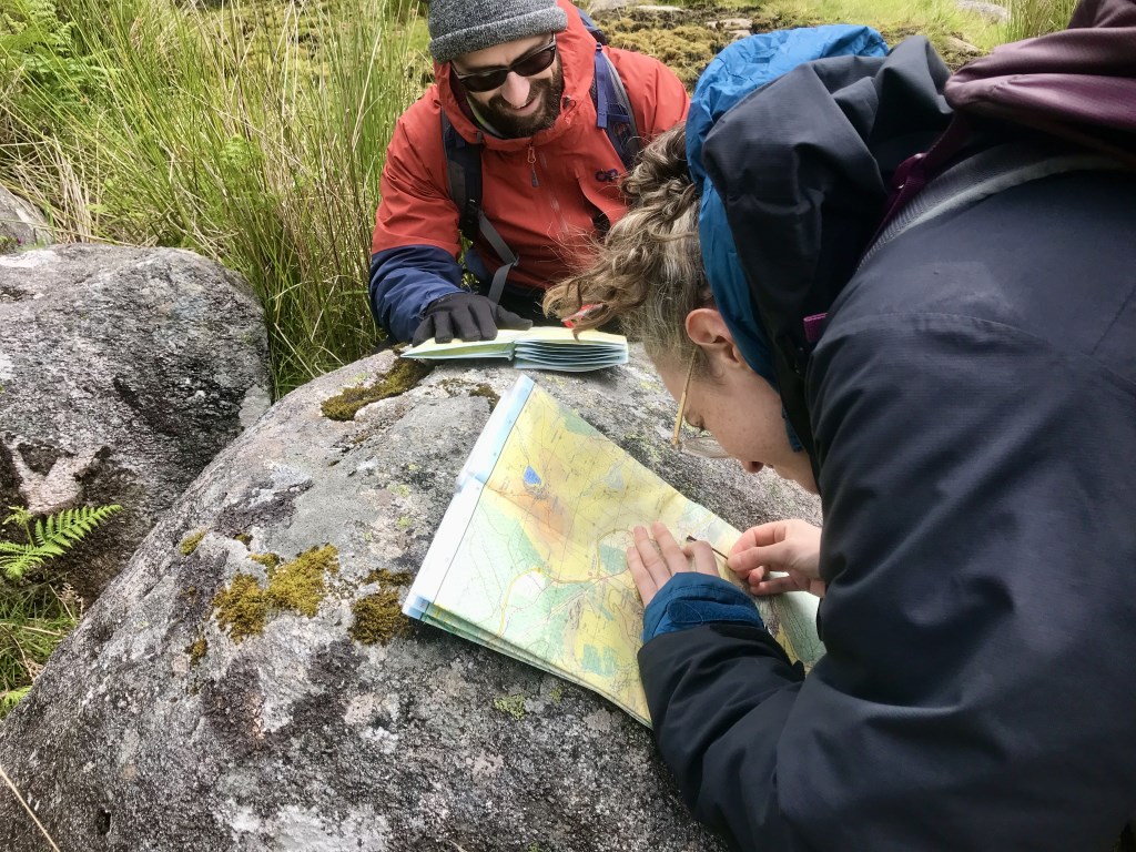
Mountain Skills 1 Navigation course. 6 clients out on MS1. Great discussions even before we left the car park as someone forgot their boots. what if you went with the sandals, had a slip, required rescue. Volunteers come up to help, they would help but probably quietly thinking why are you not wearing boots! Why did the course provider let you out without boots...We found some boots that fitted and all was good. Before booking one client had mentioned he was in remission from cancer so we had a chat about that and what to expect. My attitude is it's about learning to navigate not hike long distances so we had short legs plenty of stops and well spaced steer ground. lots of deer and wildlife about on Sunday. We did a loop of. the lead mines and everyone was very pleased to see the history, and to be able to navigate from mine entrance to mine entrance. Saturday was windy so we stayed to the side only getting to cols and summits when required. Sunday was not so bad, but almost chilly. My spare jacket was used by one client.
I'm getting good feedback on the way I'm constructing these days which is nice.
https://www.instagram.com/p/Cet8KI0sbyF/?utm_source=ig_web_copy_link
Area :
Wicklow Mountains South
The Wicklow Mountains are the largest area of continuous high ground in Ireland, having an unbroken area of over 500 km2 (190 sq mi) above 300 metres (1000 feet). They occupy the centre of County Wicklow and extend into Counties Dublin, Carlow and Wexford. The general direction of the mountain ranges is from north-east to south-west. The south includes Croghan Kinsella.