I do love my Mountain Skills 1!! a two day course over 8 hours each day.
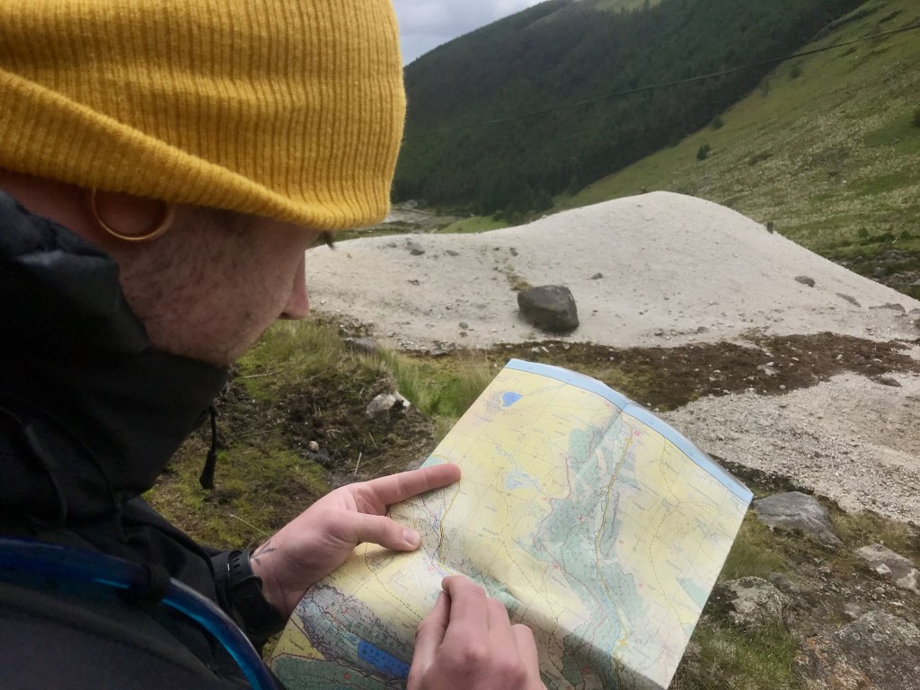
We covered planning, packing essential gear, little decisions that may causes accidents, appropriate hiking footwear (sandals need not apply), things not to do…forget your boots?? 🧐😂 How would we look on the hill covered in Gortex head to toe…wearing sandals with a twisted ankle/broken leg. Mountain Rescue would not be pleased…So we borrowed some boots. We then chatted about walking poles, gaiters, streams, bridges…and that was all before we left the cars!! 😂
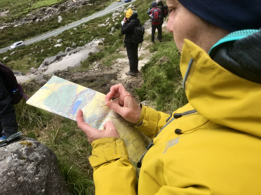
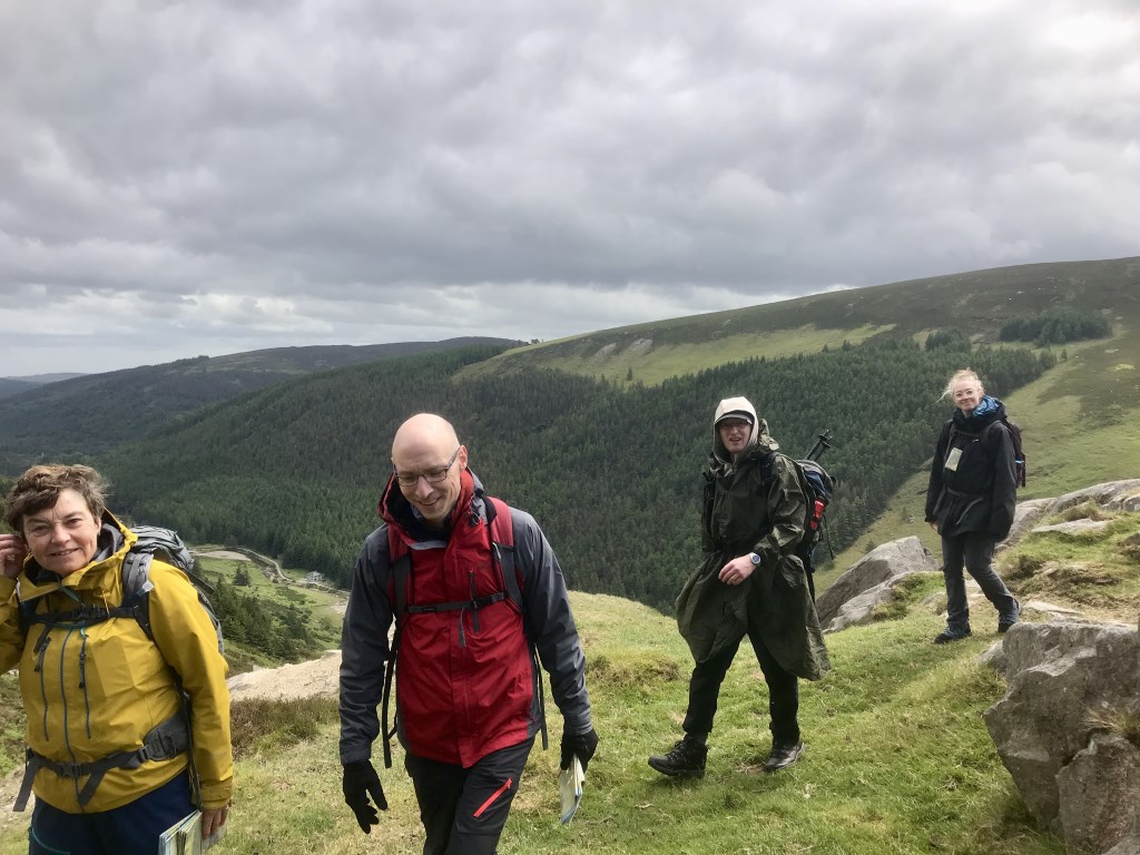
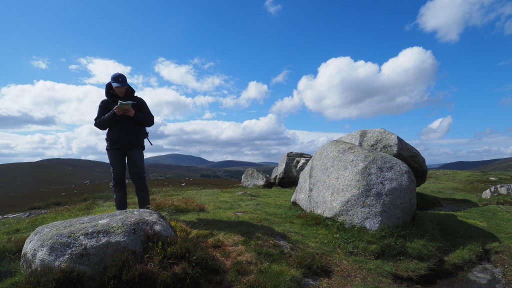
Another great two days on MS1. People know so much they just don't realise it. Pacing, timing and some distance done before lunch then out on open ground for height gain and contour work. Lots of deer about and even a fawn hidden in the heather. Day two we went for a wander around the mines and we had great entertainment with some excellent chats about steep ground, do we avoid it go around it? Whats the plan? The plans as they turned out were all great, some great contour interpretation and distance measuring on open ground. ‘Rachel's Boulder’ will forever make me smile!! Grid Reference T102934
Another little break in the sunshine/wind/showers/sunshine (it’s Irish weather) then we planned our route home around some steep ground, back to the cars and lots of chat about the Mountain Skills Scheme, I suspect some of this weekends group may be making plans for future assessment. 💪
Area :
Wicklow Mountains North
The Wicklow Mountains are the largest area of continuous high ground in Ireland, having an unbroken area of over 500 km2 (190 sq mi) above 300 metres (1000 feet). They occupy the centre of County Wicklow and extend into Counties Dublin, Carlow and Wexford. The general direction of the mountain ranges is from north-east to south-west.The north is compromised of Kippure, on the boundary of Dublin and Wicklow.