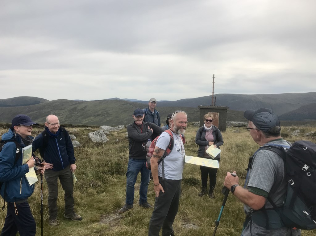
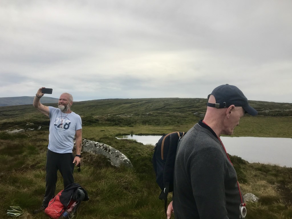
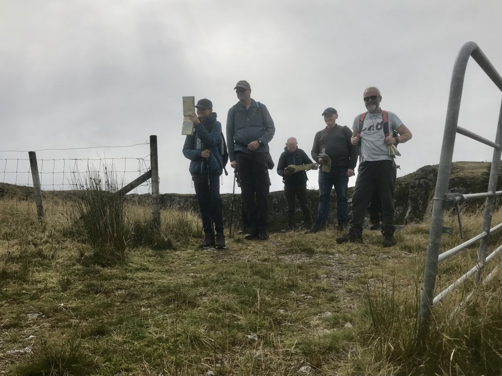
Day two Sunday. Mountaineering Ireland Happy Hiking Program. Headed to to Lough Firrib again. The program is intended to encourage more independence and help people plan a safe day in the Irish hills. We covered lots on each day, lots of detail covered early and then we set off looking for Lough Firrib. Pressure on to get one person back early to the car so they could get to a gig! We made it and covered a bit extra at the cars for the rest of the group.
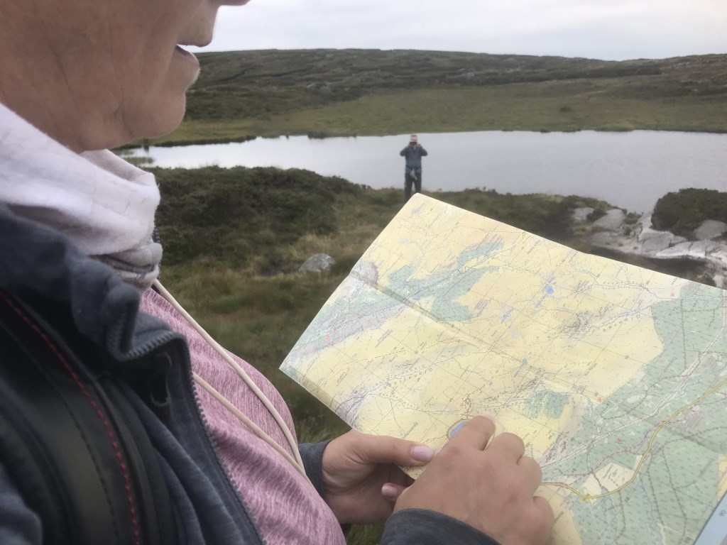
I think everybody can navigate I also think everybody doesn’t have the confidence to navigate so that’s what I work on with people. If you follow some fundamental steps the task becomes easier. Every body very please with their progress, Including the youngest member who really enjoyed his first day out navigating
Area :
Wicklow Mountains South
The Wicklow Mountains are the largest area of continuous high ground in Ireland, having an unbroken area of over 500 km2 (190 sq mi) above 300 metres (1000 feet). They occupy the centre of County Wicklow and extend into Counties Dublin, Carlow and Wexford. The general direction of the mountain ranges is from north-east to south-west. The south includes Croghan Kinsella.