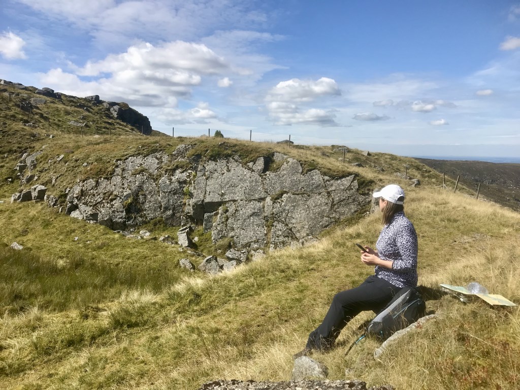
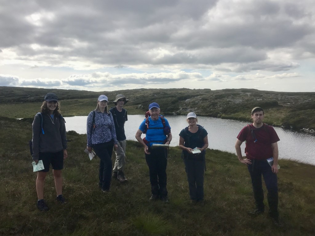
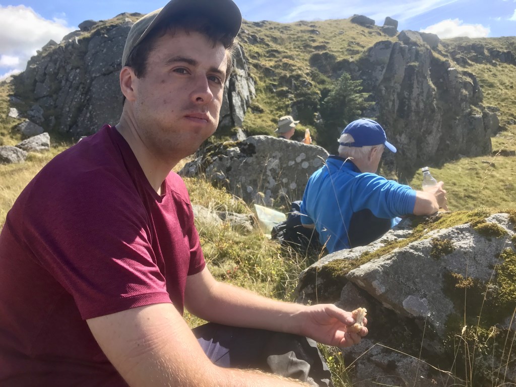
Day one Saturday. Everybody was on the Mountaineering Ireland Happy Hiking Program. We had great weather for our ‘’simple’ hike to Lough Firrib. The program is intended to encourage more independence and help people plan a safe day in the Irish hills. It was sunblock all the way, I even got to wear my trendy sunhat!! We covered lots on each day, lots of detail covered early and then we set off looking for Lough Firrib. Those that hadn’t been there before were surprised at the lough nestled precariously in the Wicklow Mountains.
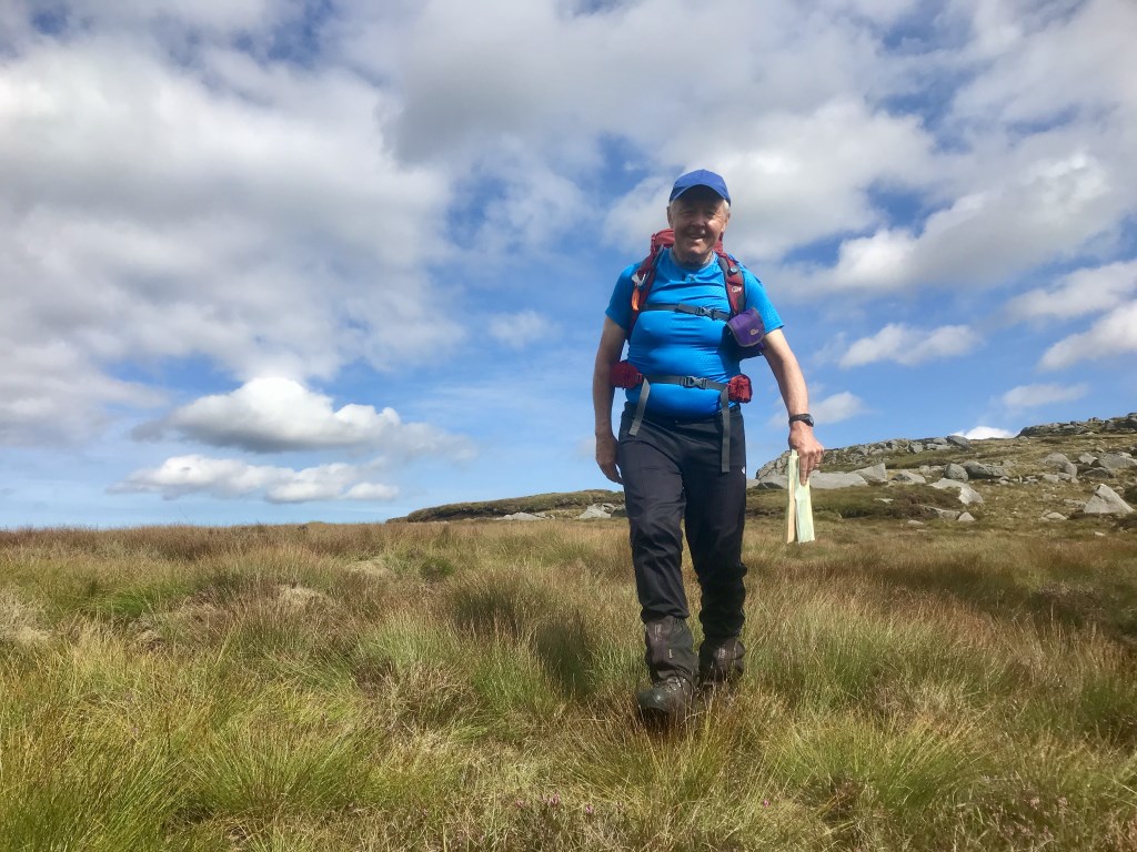
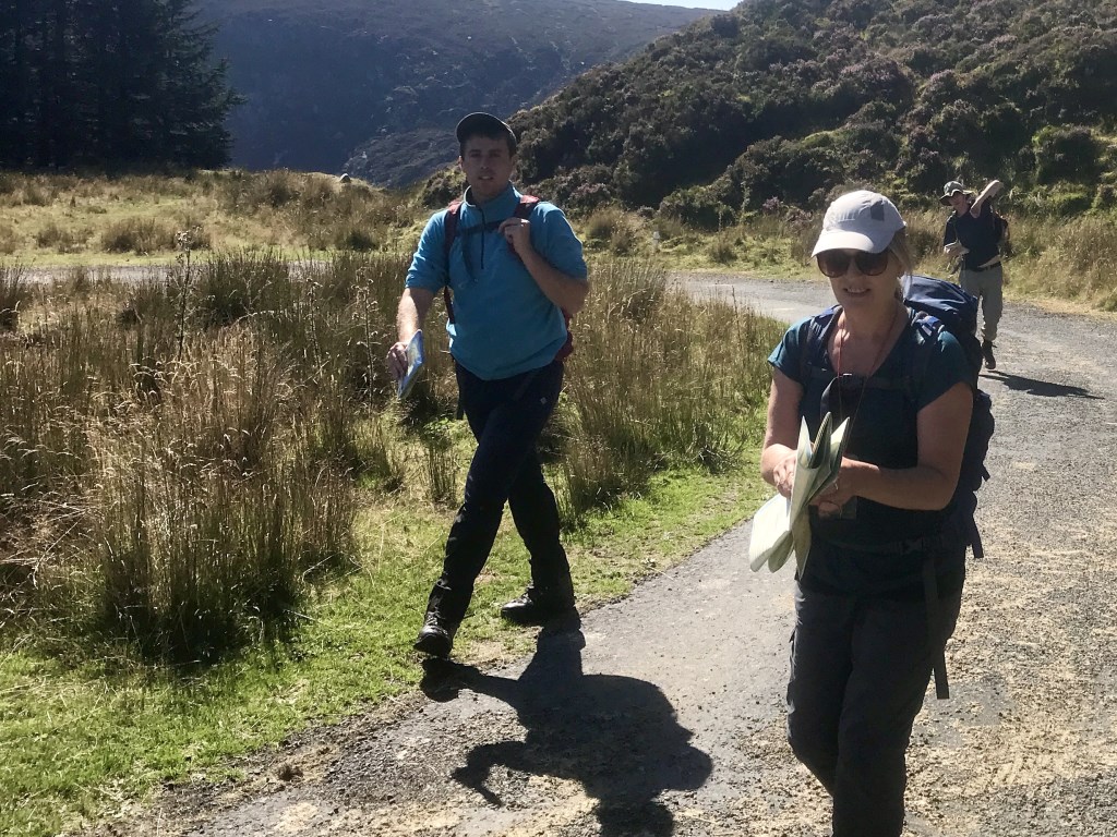
I think everybody can navigate I also think everybody doesn’t have the confidence to navigate so that’s what I work on with people. If you follow some fundamental steps the task becomes easier. It was a very typical Irish day in the hills with different groups running into each other…’Hey!!…I know you…!!” Lots of laughs!! Thanks to everybody who came out especially Liam who lead his leg with great confidence despite his young age!! A great performance from everybody!!
Area :
Wicklow Mountains South
The Wicklow Mountains are the largest area of continuous high ground in Ireland, having an unbroken area of over 500 km2 (190 sq mi) above 300 metres (1000 feet). They occupy the centre of County Wicklow and extend into Counties Dublin, Carlow and Wexford. The general direction of the mountain ranges is from north-east to south-west. The south includes Croghan Kinsella.