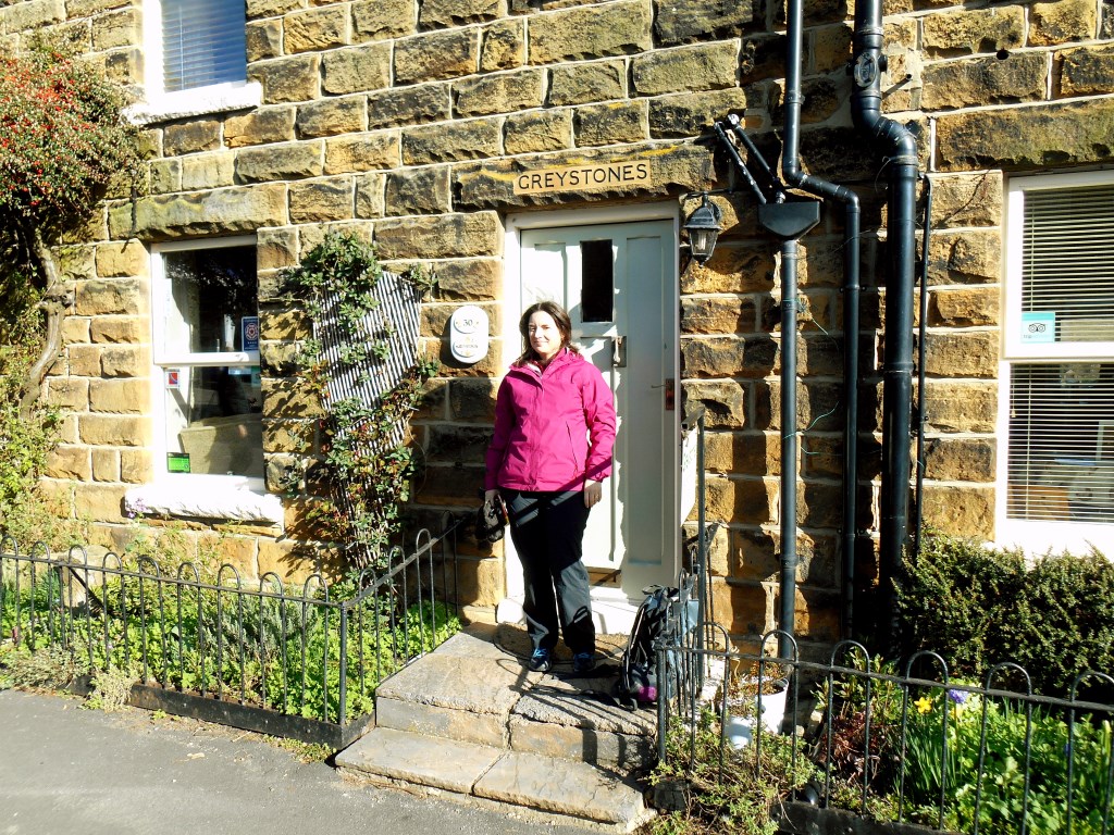
Esk Valley Walk day 1 - Castleton Loop via Westerdale Moor and Farmdale Moor. 18 miles, largely on well-established paths; 495 m ascent. Partly cloudy, lightening up as the day went on. Gruesome and scary incident on the return leg. Just outside of Castleton, a landowner had blocked the right of way with the corpse of a sheep - had to crawl under the electric fences.
Area :
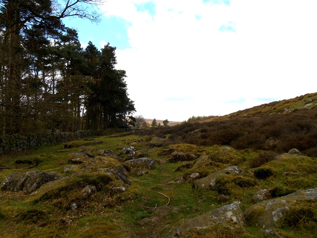
The North York Moors
To the east the area is clearly defined by the impressive cliffs of the North Sea coast. The northern and western boundaries are defined by the steep scarp slopes of the Cleveland Hills edging the Tees lowlands and the Hambleton Hills above the Vale of Mowbray and the broken line of the Tabular Hills to the south