To the east the area is clearly defined by the impressive cliffs of the North Sea coast. The northern and western boundaries are defined by the steep scarp slopes of the Cleveland Hills edging the Tees lowlands and the Hambleton Hills above the Vale of Mowbray and the broken line of the Tabular Hills to the south


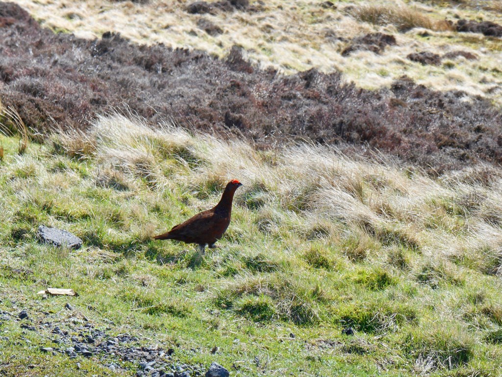
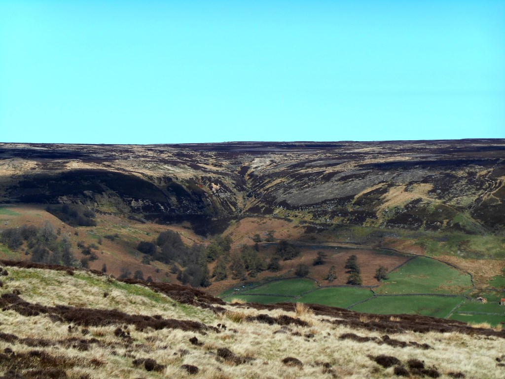
 Esk Valley Walk day 2- Castleton to Glaisdale. 11.5 miles, 213 m ascent on a clear but slightly windy day. Many grouse on the moors.