Start: Aviemore NH 89652 12624 End: Ruigh Aiteachain bothy NN 84723 92782
Distance: 31k
Duration: 12 hours
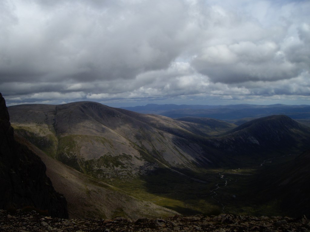
Direction: SSE through forest and trail up Gleann Eanaich to 300m before Loch, then follow rough path up Coire Dhondail, at top where contours become less steep, follow edge and tops NE to Braeriach summit. Retrace to top of steep contours point again (1000m contour); trace route SE across boggy ground 2km to reach rough path which joins land rover track WSW, descend then valley floor S to bothy.
Description: Walked in from Aviemore to Loch Einich then bit of a rough scramble over scree up to the plateau, reached top then descended to navigate over rough boggy land which fortunately was relatively dry and good visibility; reached Ruigh Aiteachain bothy - arrived at dusk, later than expected and exhausted!
Area :
The Cairngorms
The Cairngorms are ‘a little piece of the arctic in Scotland’ according to the SMC Munros Guide and the area contains many of the tallest peaks in the East Highlands. Ben Macdui (1309m), Cairn Gorm (1244m) and Braeriach (1296) are probably three of the better known and the whole area is full of steep corries and high plateaux. Access to the mountains is typically from Aviemore or Braemar.