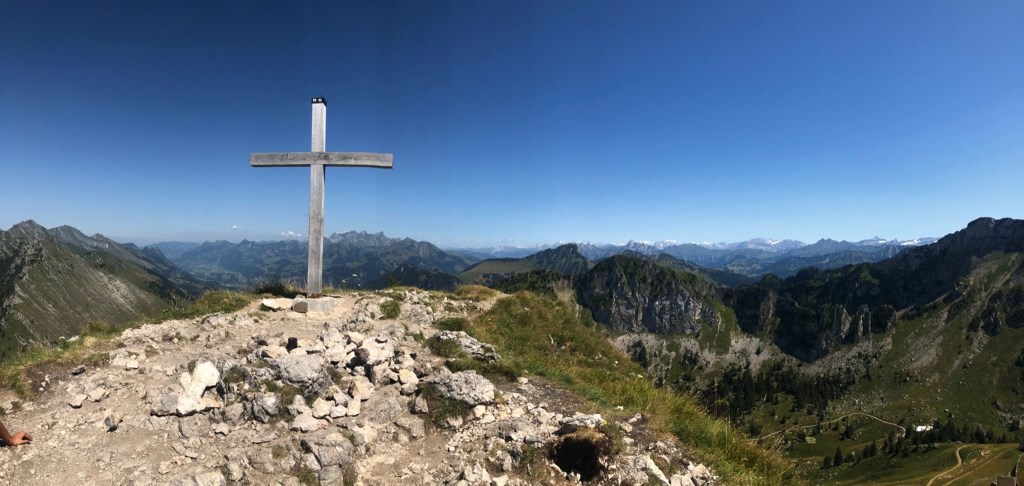
Total Distance 8km. Total journey time 3h30. Total ascent 490m.
Temperatures rising into the low 30s meant for a sweaty day in the mountains. I chose a shorter walk to allow acclimatisation to altitude and temperatures, with a good amount of climbing and simple route finding. The walking was easy, with footpaths well marked. The final ascent to the summit cross was more of a scramble, and slowed the pace considerably, however, the shade was welcome. A nice day walk starting at higher altitude.
Learning Points:
- Carry more water than you think you'll need - the heat on the mountain can really build.
- Maps in Europe are less accessible than OS, and routes are generally well signed and well trodden.
- Good sunglasses make sunny mountains much more enjoyable.