Wha House Farm NT car park
Great How
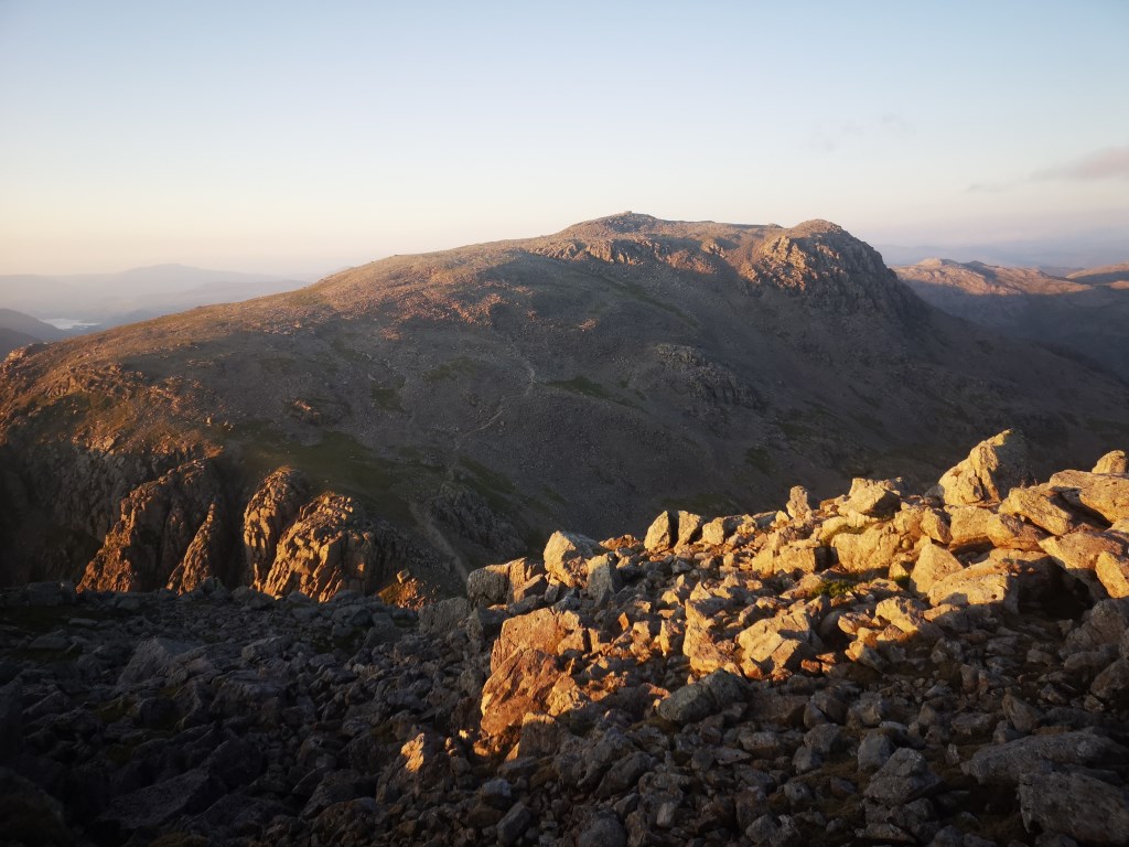
Slight Side
Scafell
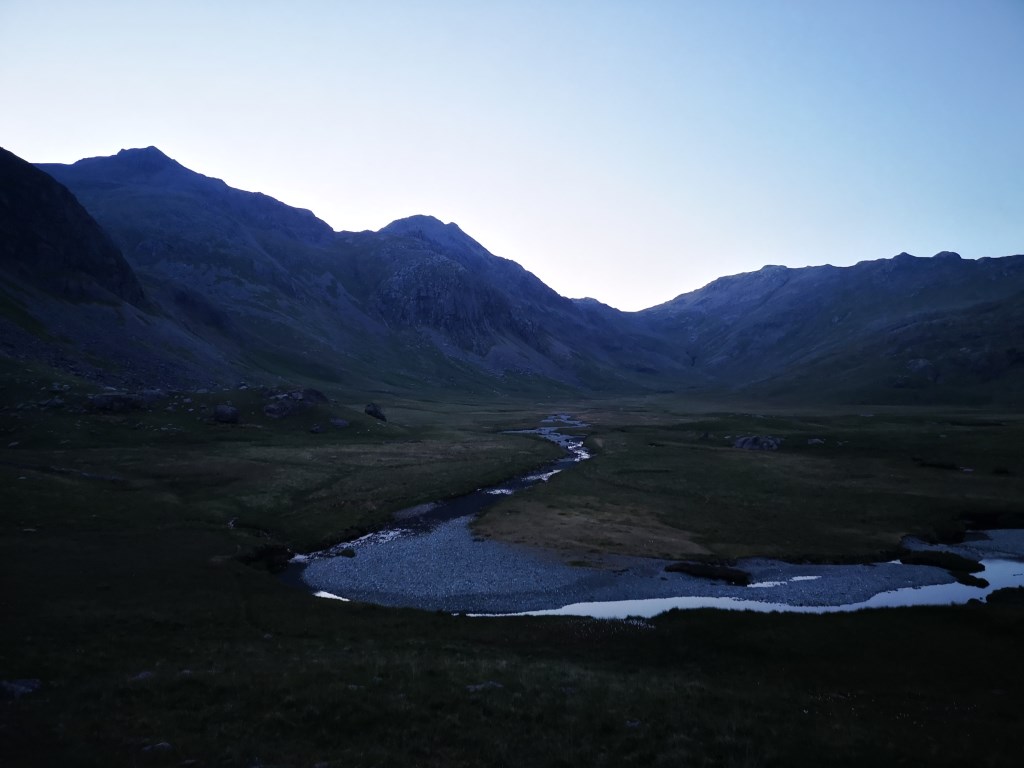
Fox Tarn
under Silverybield crags
Scale Gill
Taw House
Elapsed Time : 5:32hr
Distance : 10.9 miles
Elevation : 3,200ft
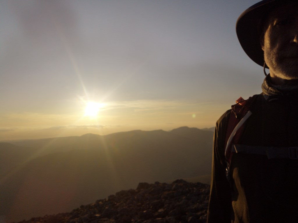
late start (18:30) due to work pressures, but also to remind myself what walking in the dark is like. Not so easy in June.
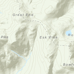
Path finding from the start to Great How and across the bog to the ascent up Slight Side needed a bit of wayfinding using handrails and rough compass reading. No 'usual' distinct Lake District paths. Also true on the return along the River Esk, ensuring I selected the most westerly path to stay direct towards Taw House on what were sheep tracks.
The Quagrigg Moss Bog between Great How and Slight Side was extremely dry. On the descent the stream from Foxes Tarn was barely running. Definitely in need of rain now.
clothing and temperature management.
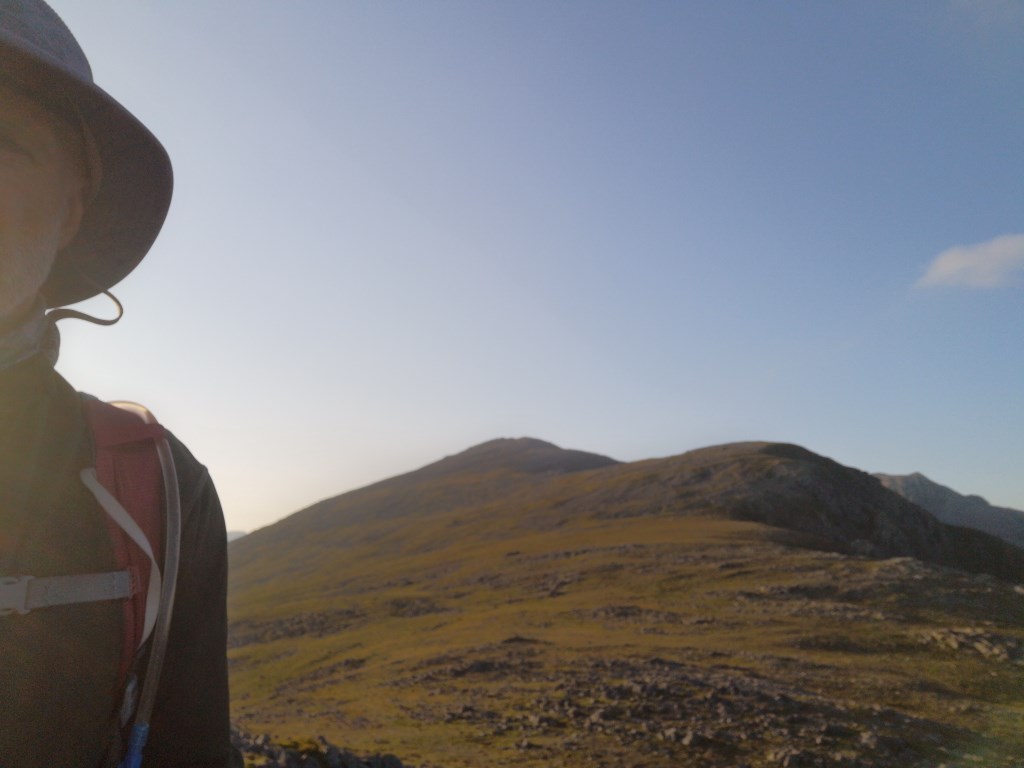
the ridge along Slight Side to Scafell was breezy necessitating an etra base layer, coat, hat and gloves.
After desecending past Fox Tarn into the Esk River Valley the temperature drop necessitated a change of all top layers to dry, warmer items. To be expected with my persperation.
Flora and Fauna wise...
Ring Ouzel spotted on Long green
What i believe is a Night Jar on the leg south of Silverybield Crag. Could only hear the call in the dim light present at the time.
when pasing under a group of oaks near Taw House there were birs calls from each tree. Perhaps Little Owls.. more of a squeak than a song.
Learning for tonight..
keep energy gels in a plastic bag
dont use your red light on the headtorch whilst walking through a flock of sheep. Its like a scene from a bad horror movie with the sheep's euyes reflecting red. ;-)
Area :
Western Fells
The Western Fells form the southern wall of the Buttermere valley and the northern fence of Wasdale. Between the two lies Ennerdale so that in effect the group is the shape of a single horseshoe, each branch about 10 miles in length.
At the head of Ennerdale stands Great Gable. The southern arc of the group travels due west from Great Gable, the main ridge consisting of Kirk Fell, Pillar, Scoat Fell, Haycock and Caw Fell.