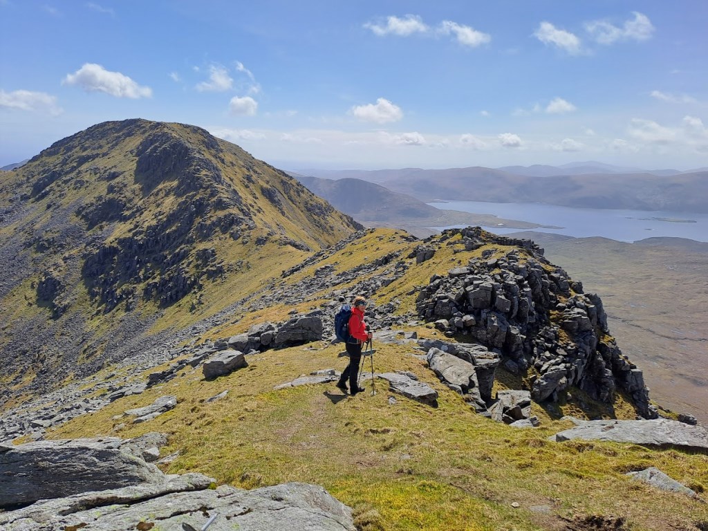
My wife Marion was with me for this classic ridge walk in superb conditions. We felt very lucky to have got such a wonderful day, on our first ever visit to Harris. I had read the SMC Corbetts Guide to the route, but opted for a variation in a Cicerone book which was in our self-catering cottage. Possibly not the optimal choice, as it involved a long traverse on the southern slopes of Tomnabhal at the end of the day. Definitely not enough to mar what was a very special day. The five summits are each distinctive, all giving superb panoramic sea views, with the descent from Mulla bho Dheas involving some mild scrambling. Although the geology is quite different from the Rum Cuillin, I felt a similar sense of place, perhaps related to the island location. The highlight environment-wise was the aerial acrobatics display staged for us by two Sea Eagles immediately above Mulla bho Tuath summit.
Even on such a benign day, we met only one other party, ascending the standard path route to An Cliseam from the A859.
A uniquely distinctive mountain experience, more physically demanding than it appears from the map and the stats., and all the better for that!
Area :
Harris (and nearby islands)
The mountains list for this area currently includes all peaks about 600m on the Isle of Harris. Adventures on the Isle of Lewis and Taransay should also be listed in this area. Access is normally from Uig on the Isle of Skye.