Elapsed Time - 5:48
Distance : 13.6m
Elevation : 5286ft
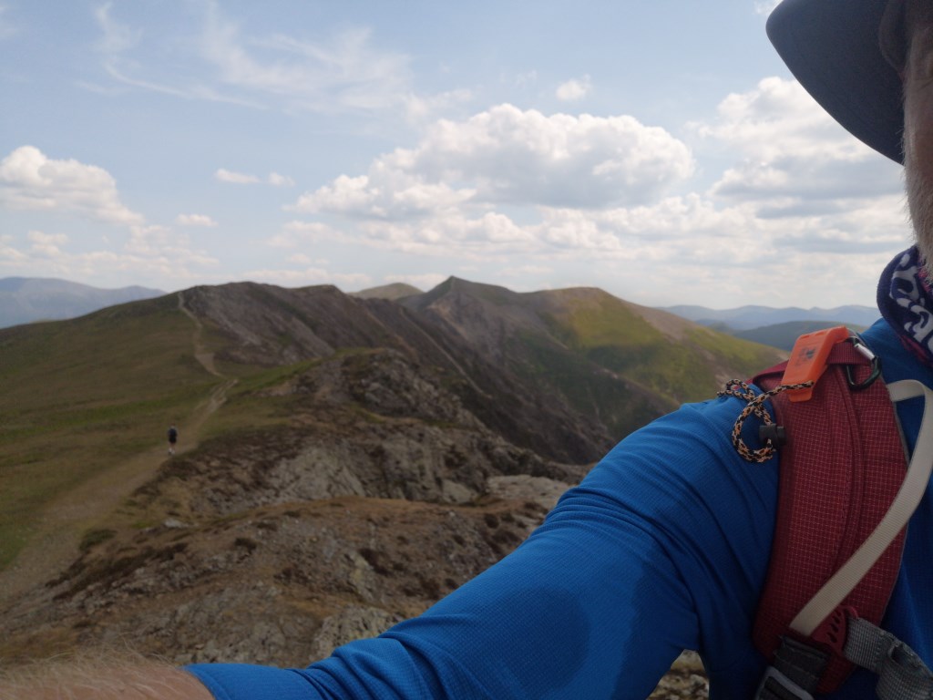
Used the "Peak Bagging the WAinrights Route 33" which takes in Whiteside, hopegill, Sanhill, Grassoor, Wandope, Whiteless Pike and Rannerdale Knotts.
I thought i could extend it a bit on the day and managed to add Grisedale Pike, Crag Hill and Sail... which would be tricky peaks to bag on a separate walk without a degree of repetition or long walks in / out.
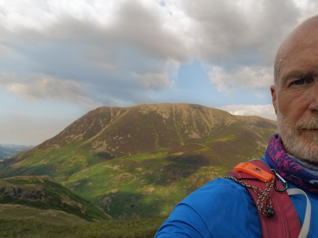
superwam sunny day mid 20's at valley floor and high teens on the ridge. Little could cover, little wind.
these conditions necessitate that i take on lots of water - 3 litres today - and salt - about 5g.
so tally for today was
Whiteside , Hope Gill head ,Grisedale Pike, Sandhill, Grassmoor , Crag Hill , Sail , Wandope , Whiteless Pike , Whiteless Breast , Rannerdale Knots
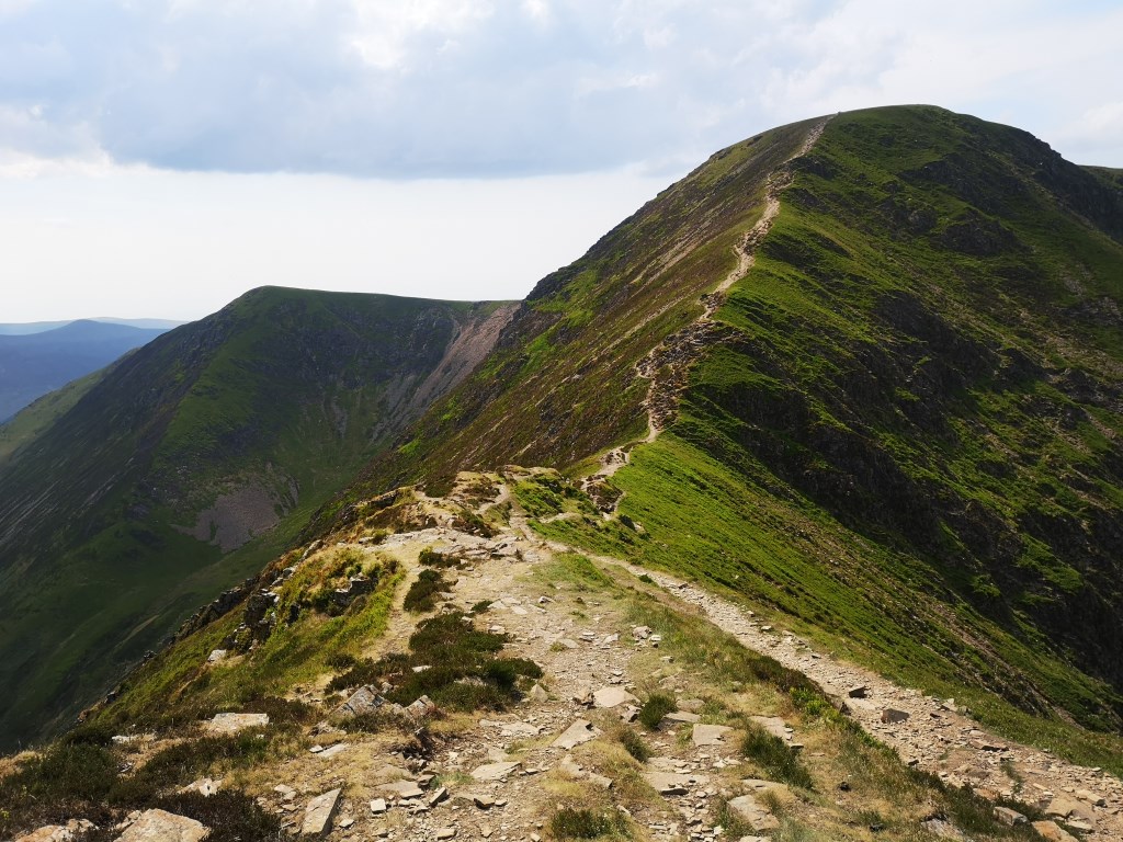
given the conditions there were no difficult navigation elements, no hard under-foot conditions, other than a less secure walker might not like elements of the walk up Whiteside, but only short sections would could be spotted.
Area :
North Western Fells
Essentially this area is encompassed by Lakes of Bassenthwaite, Derwent Water, Buttermere and Crummock Water with the southern boundary being the Honister Pass