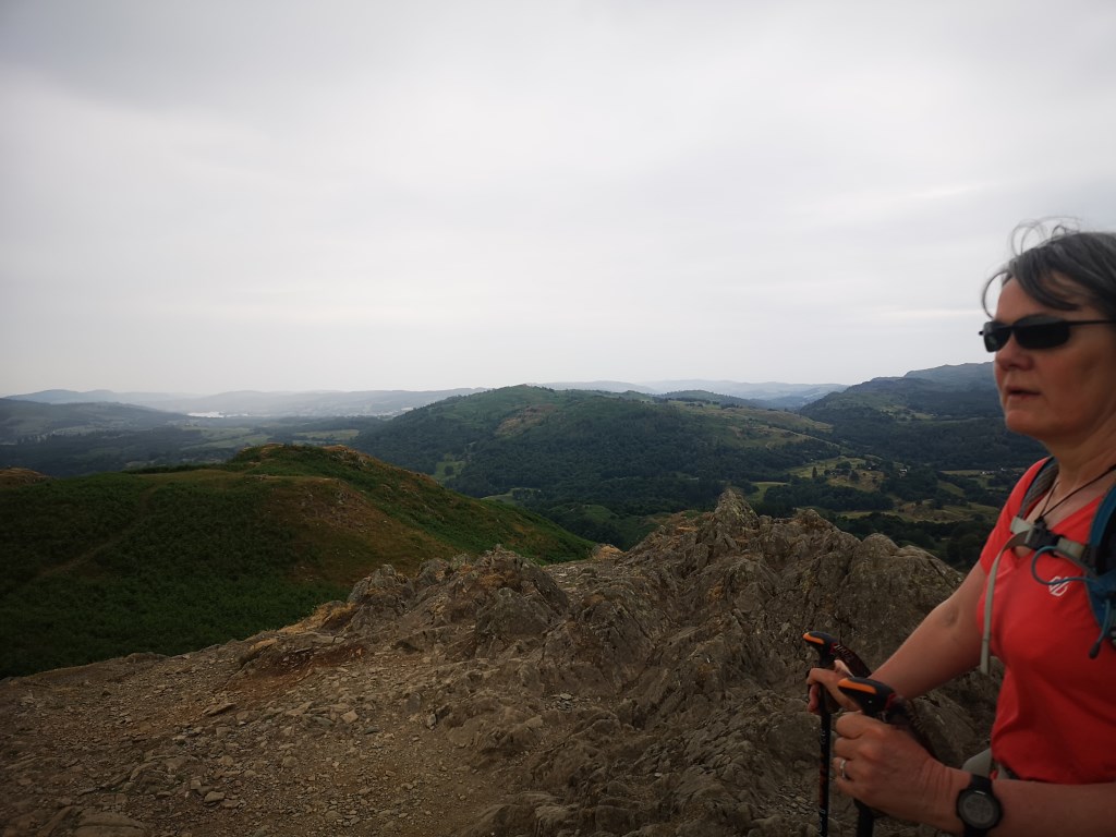
route designed to be manageable for my wife on a hot day.
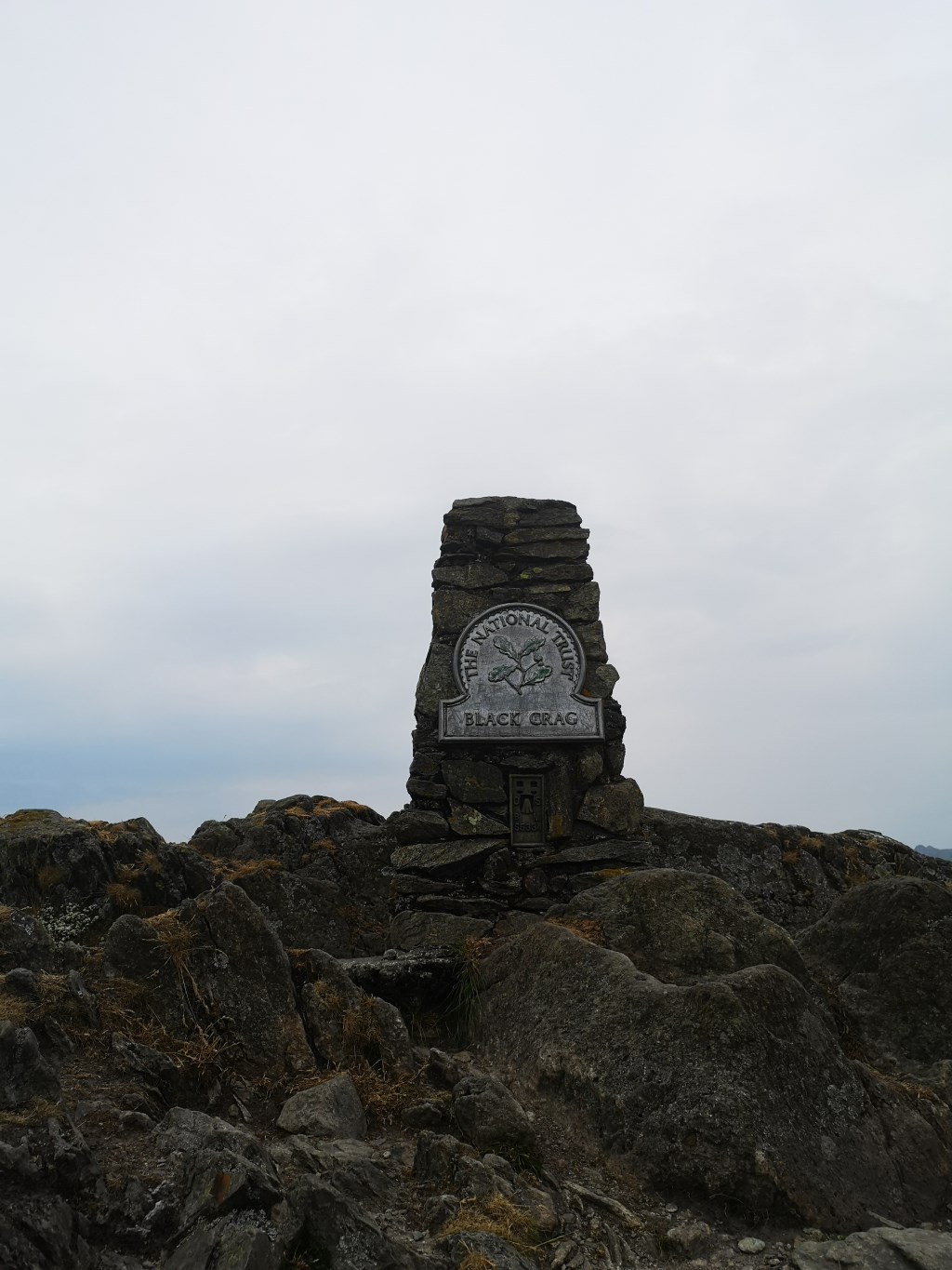
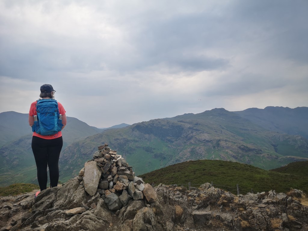
Elterwater - Loughrigg - Black Crag - Lingmoor (Brown How)
valley floor temps - mid 20s
elapsed time : 6:10
distance 13:3m
elevation : 3,555ft
Today's objective was to manage my sife on a warm days walk, so hydration, sat, and the usual morten's neruoma feet issues.
elterwater start. through the NT woods below the YHA at high Close...
got a close up view of a Tawny owl in flight...
Loughrigg - tricky enough navigation due to the plethora of tracks across the top.
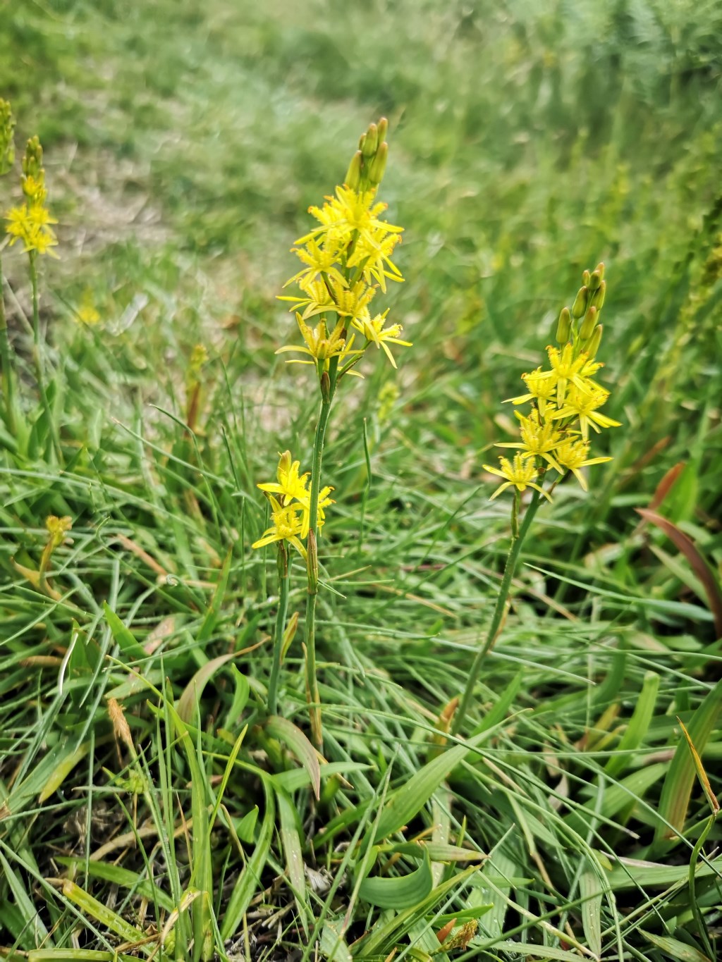
bonnus here was Bog Asphodel... how many instructors have pointed out dried out grasy stalks with "seed heads" and exclaimed how lovely it looks... finally seen it in flower... NOT on the tops of Loughrigg where the bogs should be.. alongside the descent where it has still be running with water despite the drought.
longish road treck to Black Crag.. and finally to Limgmoor.
the bonus here were lots of Butter Wort... along by the disused quarry just before the final few meters to the summit.
another 3 litres of fluids taken on and 2g of salt
Area :
Central Fells
The Vale of Keswick, provides separation from the Northern Fells whilst to the west runs the long valley of Borrowdale. The parallel eastern boundary is created by Thirlmere and the St Johns in the Vale. Grasmere to Windermere forms the remainder of the eastern boundary. In the west, Stake Pass descends into Great Langdale.