The Southern Fells Include Scafell Pike, the highest peak in England, occupy a broad area to the south of Great Langdale, Borrowdale and Wasdale. High and rocky towards the centre of the Lake District, the Southern Fells progressively take on a moorland character toward the south west. In the south east are the well known Furness Fells, their heavily quarried flanks rising above Coniston Water.


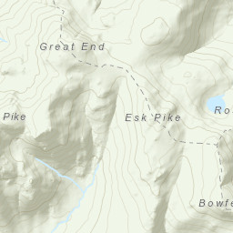
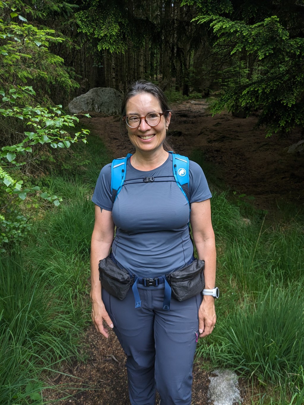
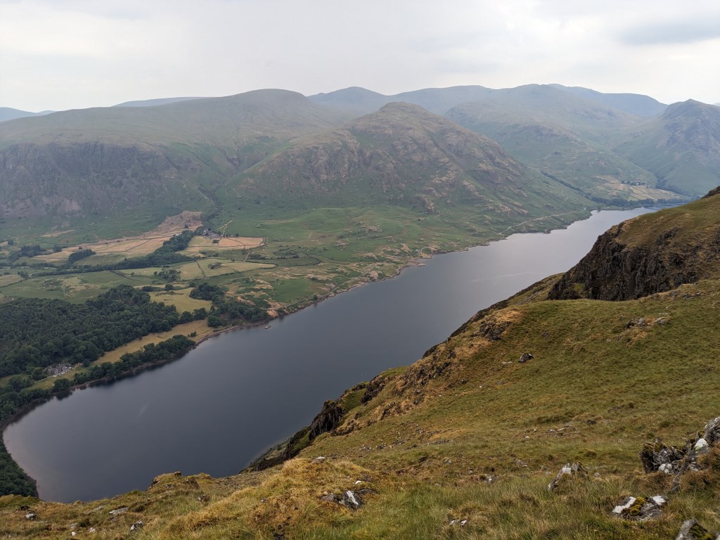
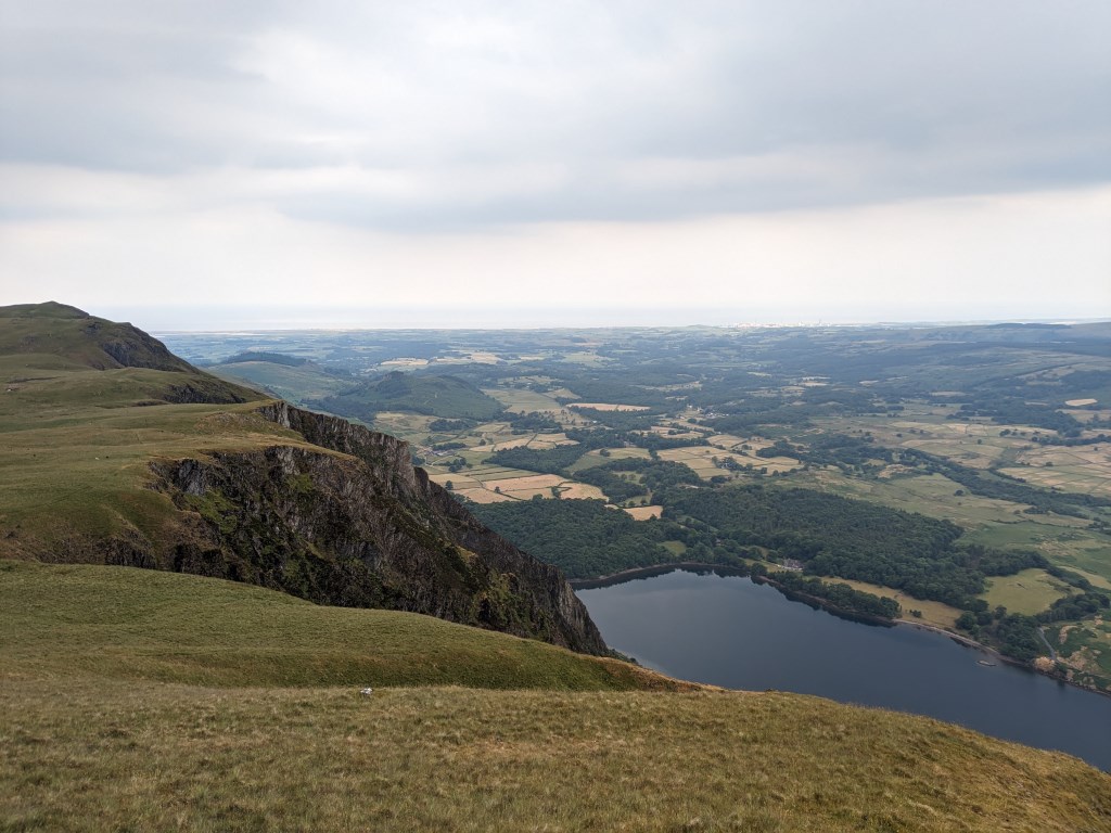
 Circular route taking in Whin Rigg and Illgill Head. Meant as a recovery day but still 15k and 662m elevation. Navigation using 1:25k.
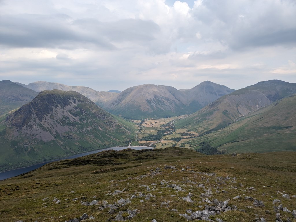