Duration: 5h 10mins
Distance: 10km
Ascent: 466m
Headed out in the rain after a tactical lazy morning to avoid the worst of the rain. Still got wet and practiced some useful navigation in poor vis and the dark. Still fun once sugar levels were replenished with pan au chocolate and a mug of warm tea 👌🏼
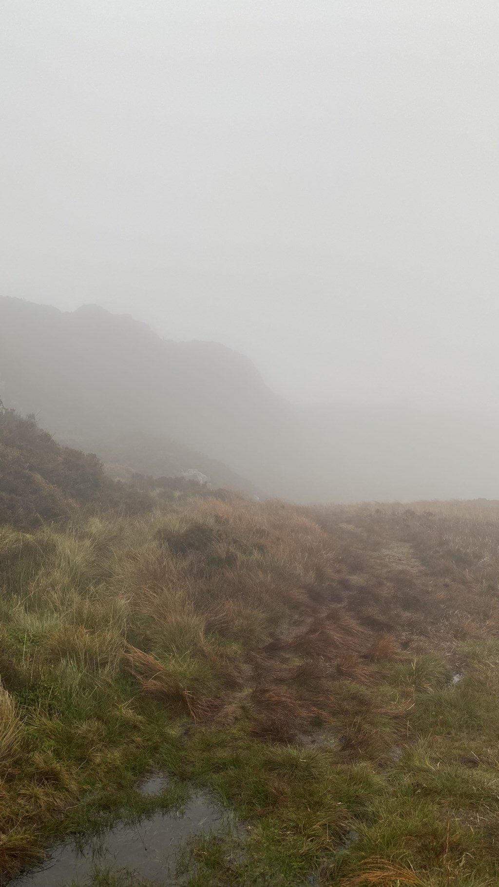
Setting out at 1400 from PYB, the plan was to return in the dark in order to avoid the amber warning for rain. This was somewhat successful, although the rain remained continuous and heavy throughout the walk. We headed out on the main path from the Capel Curig cross roads towards Crimpeau. Taking a left off the main path we were onto smaller tracks to the Crimpeau summit, before quickly descending to the West out of the wind. From here, I navigated across the open access land to the West boxing around boggy areas and using boundary lines and pacing to accurately find the end of the aquaduct with the light rapidly fading. From here, we followed along the aquaduct to the footpath running South off the fell. Unfortunately this wasn't as straight forward as we had hoped, with significant areas of bog, and a river crossing, both posing significant challenges in the dark.
This was a good practice of micro navigation, identifying contour features on open access land and pacing on a bearing to navigate to detailed map features. The additional challenge of poor visability and darkness were anticipated and planned for, and made what would otherwise have been a relatively straightforward route into a navigation challenge.
Area :
Snowdon Massif
Snowdon (Welsh: Yr Wyddfa) is the highest mountain in Wales, at an altitude of 1,085 metres (3,560 ft) above sea level, and the highest point in the British Isles outside Scotland. It is located in Snowdonia National Park (Parc Cenedlaethol Eryri) in Gwynedd, and has been described as "the busiest mountain in Britain". It is designated as a national nature reserve for its rare flora and fauna.