distance 11m +
elevation gained 3.572ft
elapsed time : 6hrs +
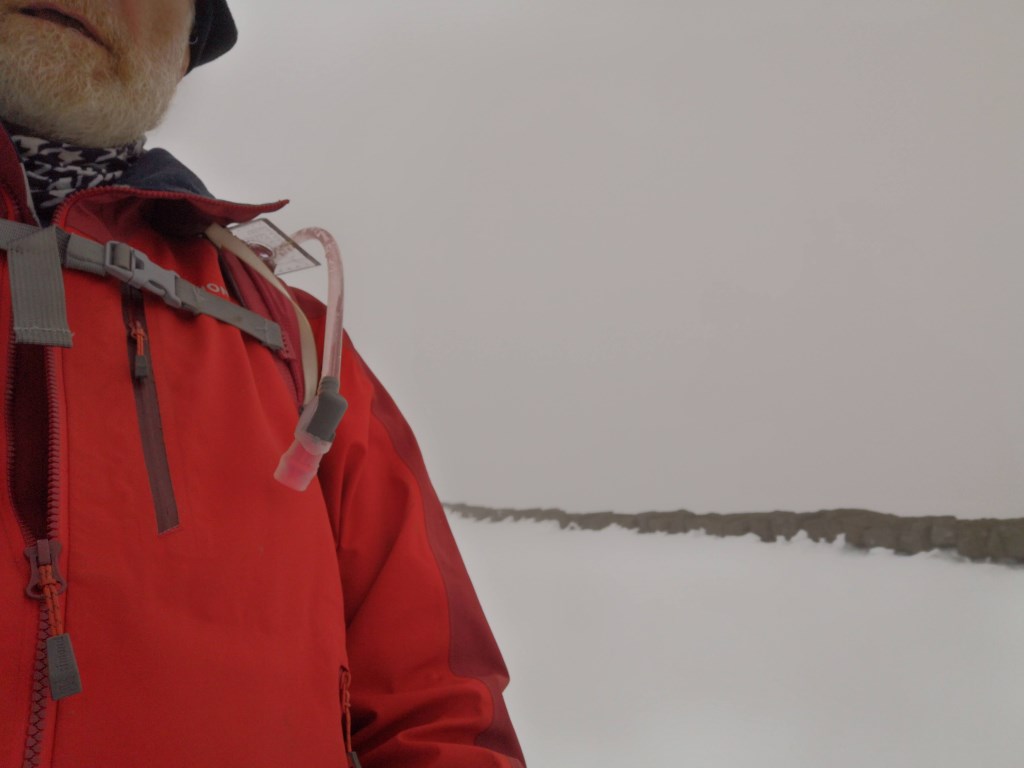
at sea level, clear skies over the town, cloudy over the mountains. 5C good visibility
cloud over the mountains reduced the visibility when over 600m to around 20m
snow lying from heavy fall on Thursday previous, some occassional snow showers on the peaks
wind from the E
started from Ardaluin through Tullymore heading towards the Legawanney Corrie.. Walked up alongside the Spinkwee looking for a crossing… heavy flow due to snow melt meant i was only able to cross when on the plateau below the corrie.
west onto the ridgeline between Luke and Slievenaglogh
Missed out Luke Mtn and straight to Slievenaglogh,
put carmpons on for the 'climb' to reduce slipping.
Corragh,
Commedagh,
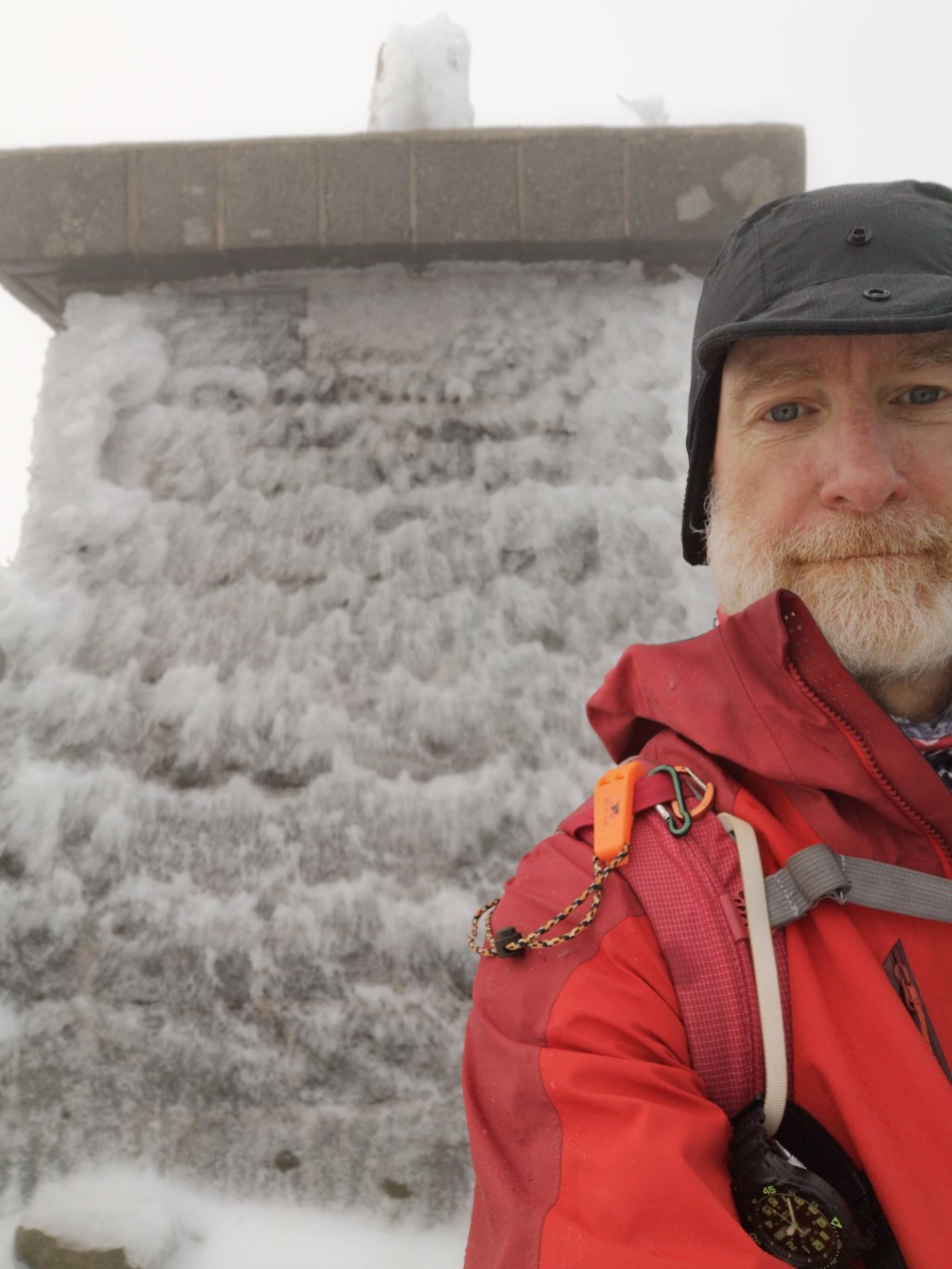
Donard..
pleny of walkers around, maybe 4 wearing boots, remainder in lounge pants and trainers.
From Donard i took a bearing off the meeting point of the Glen Fofany Rover and a tributary... slow going over rock scree until just at the brim of the valley SW of Thomas and Lookout.
Bearing was good for the river junction, but countoured towards the meeting of Foffany and bloody Bridge river to pickup the path to the bloody bridge.
then BLoody Bridge and newcastle
some widlife about despite the weather.. Jays, Ravens.. and footprints for the elusive Donard Fox
Spoke with a group of lads at the top of Donard about winter gear, winter walking and the MTA leadership awards.. also advised on their descent given their mixed level of kit.
Area :
Mourne Mountains
Slieve Donard