elapsed time : 7:15
distance 10miles
elevation : 4,185ft
Sgorr Bhan
Sgorr Dhearg
Sgorr Dhonuill
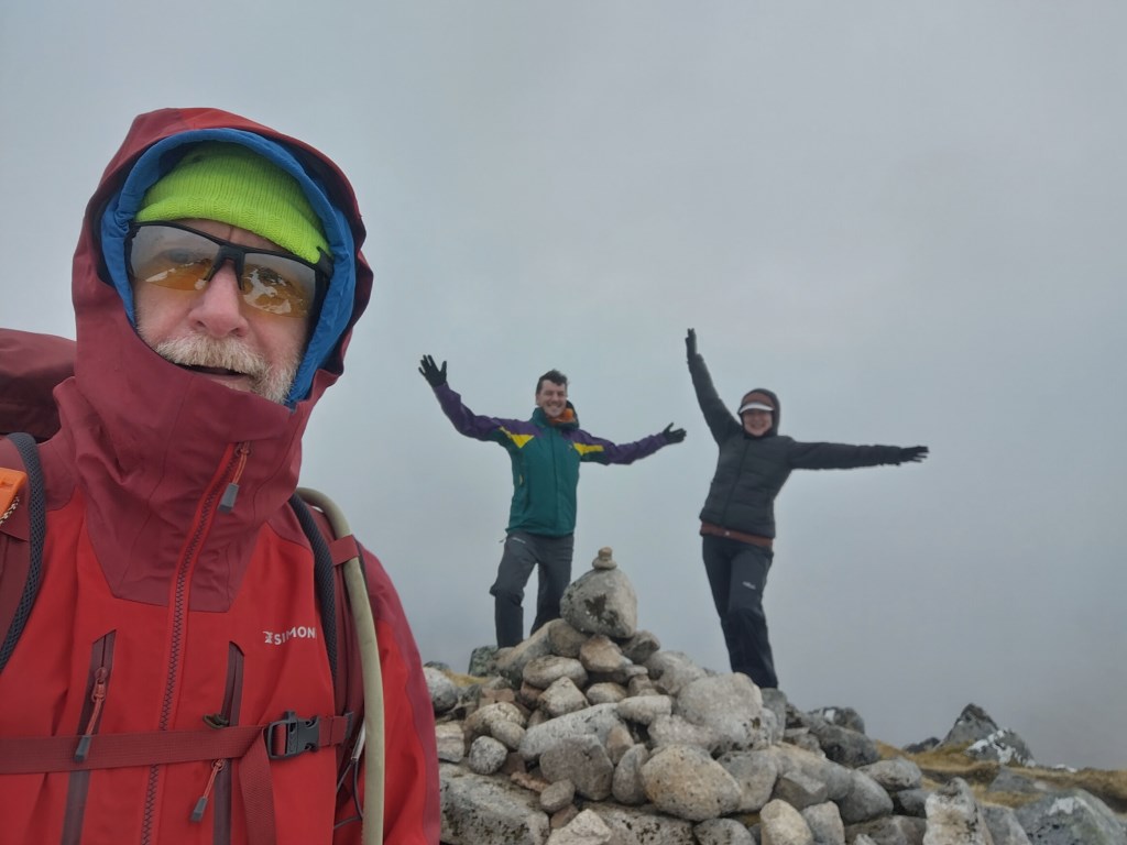
essentially a check route with Holly and Matt to see how they present themselves on the hill
they have lots of experience and know how to pack their bags with spare kit, eat on the move, move on rough ground, and perhaps most of all.. they enjoy being on hills..
i was able to advise on how to use poles safely and firmly... and to repair one of thei poles that wasnt locking.
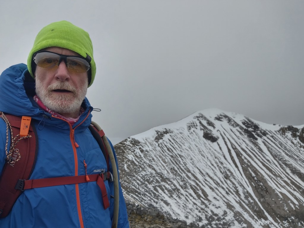
no dramas on the up.. or ridge walk over to Sgorr Dhonuill...
ascent of Sgorr Dhonuill was very breezy,, the 'scramble' up to the top was only a boulder walk really.
descent into the valley for the return involved a bit of path finding until the fire-road was hit.... then just a case of walking east.
Area :
Glencoe North (Loch Leven To Rannoch Station)
This area covers the northern side of Glen Coe and the mountains north of Rannoch Moor. Notable features include the Pap of Glencoe, the Aonach Eagach ridge (home to a few kilometres of horizontal scrambling) and the remote peak of Stob na Cruiache which is generally accessed from the train station to the east. Includes all major peaks above 600m.