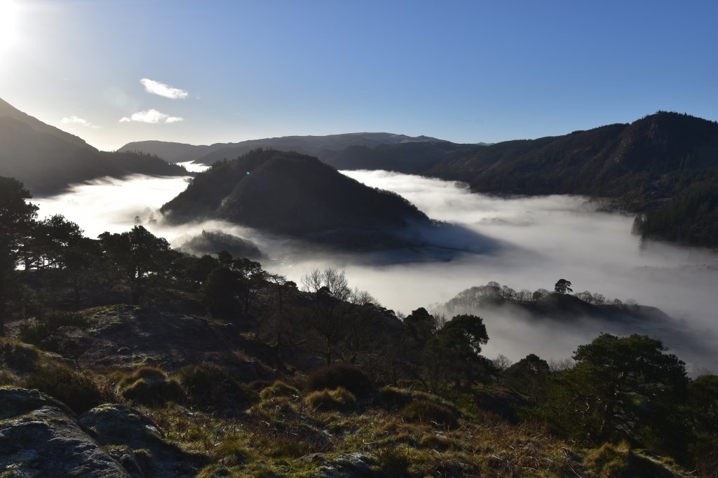
Leading an elderly lady on the easy walk on High Rigg. Temperature inversions made the day really special!
Area :North Western Fells
Essentially this area is encompassed by Lakes of Bassenthwaite, Derwent Water, Buttermere and Crummock Water with the southern boundary being the Honister Pass


 Leading an elderly lady on the easy walk on High Rigg. Temperature inversions made the day really special!