valley temp - 4C
summit temp - 0C
wind spped at summit 15mph
elapsed time : 11:50
moving time 5:51
distance : 12.3miles
elevation : 4,377ft
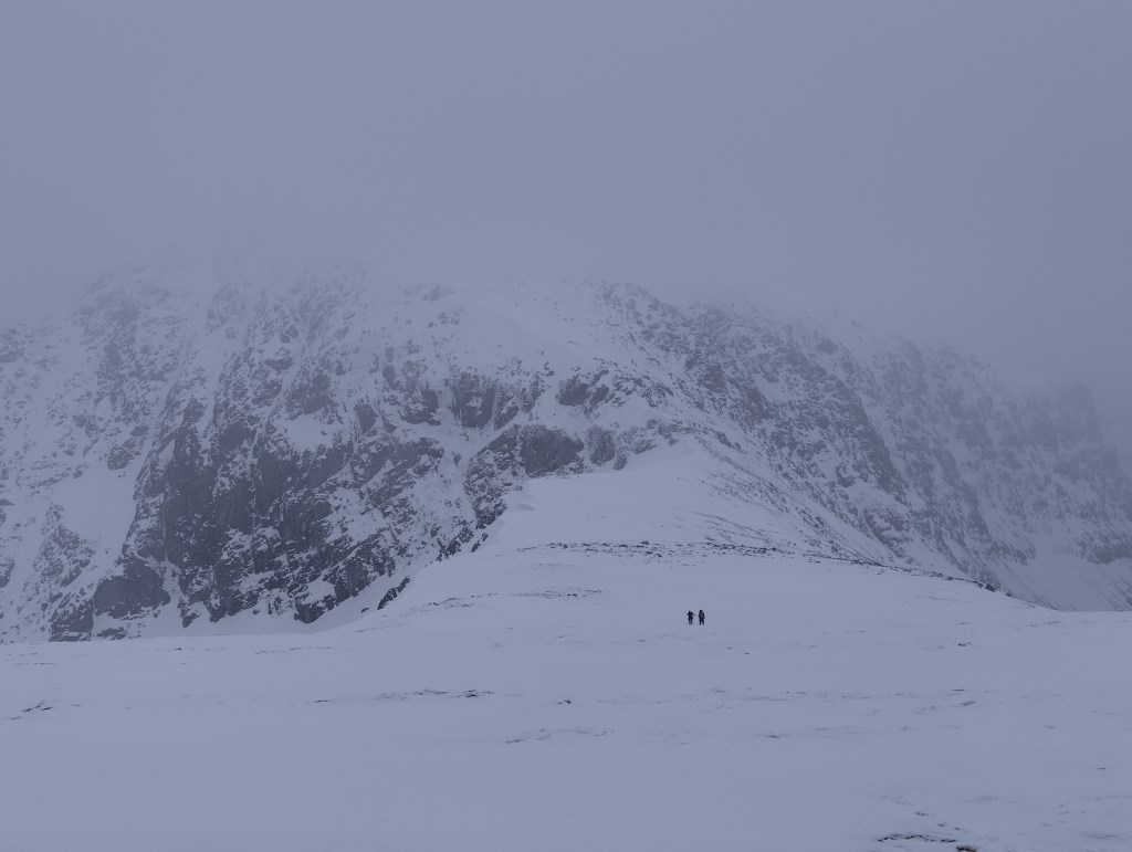
second day leading Holy and Matt. Steady walking with lotsof rest stops.
easy start from the Glen Nevis car park, which soon got steep once leaving the river side to ascend up to Sgurr a Bhuic. Steep on wet grass.
Steeper than Matt believes he would have selected himself.
Matt and Holly countoured towards Stob Choire Bhealach to miss the ascent of Sgurr a Bhuic and save energy for the munros. . So solo topout for me on this.
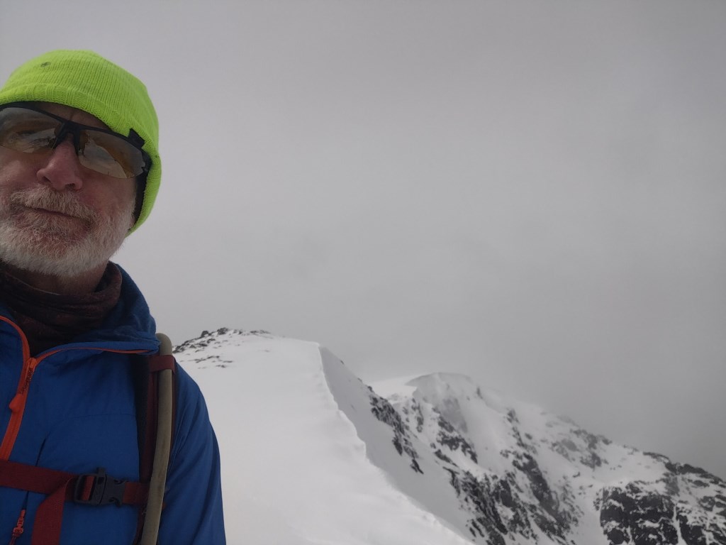
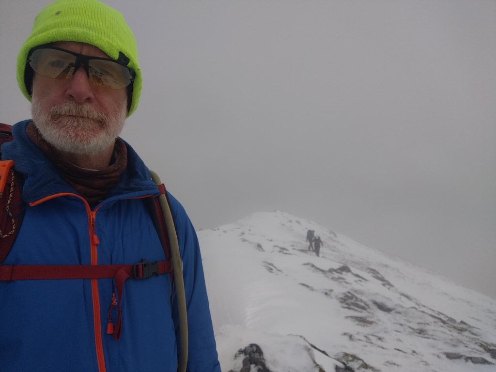
on Stob Choire Bhealach we put the crampons on for the ridge towards Aonoch Mor.
Holly's crampons needed work to get them to shrink to the right length. Both Mattt and Holly have Grivel G12s, the newer version than mine.. both seem to be too wide at the heel for their boots.
cloud cover along the ridgeline so keeping well away from the cornices
Descent off Aonoch Mor required a little coaching.
at the saddle between the two Aonoch's we had a discussion about routes..
whether to summit Aonoch Beag,
how to return-- the same route we came out... heading north to the Nevis ski range (lights would be shut b y then) or down to the west and Coire Giubhsachan which i had scouted.
decided on the (steep) descent to Giubhsachan.
Holly was definited nervous / scared so the first 20m was taken slowly with rest stops.
I cut steps and talked them both down.
this repeated in pitches with rest stops for a while.
as the slope chnaged i got them both to stop on some rocks while i souted to check the remaining slope. I managed to slipout while walking across the slope to get a better look. This required a self-arrest which thankfully only took 20meters or so.
My second piece of luck was that netiwrh Matt nor Holly has seem my slip. Talking through the descent with them later that evening, they both would have requested to climb back to Aonoch Beag and descent to the north and the Nevis ski resort.
The remainder of the slope was taken with me cutting toe-point steps and talking them both step by step.
the total time to descend this 250m... 2hr 30.
removed our crampons on the saddle and headed south.
difficult path finding in places, and a duff steer from the gpx file....
reached the Water of Nevis after 8pm in darkness. I suggested we walk out without lights to see how we coped.
good route, in pretty good conditions for winter.
Despite Holly and Matt having attended a 2 day Canmore Lodge winter training camp i was able to correct / supplement their knowledge.
I also got good feedback for the ascent route and the coaching on the descent.
credit to Holly and MAtt they kept their spirits up at all times, didnt get tired and genearlly looked after themselves in temrs of resting, nutrition and safe walking.
Area :
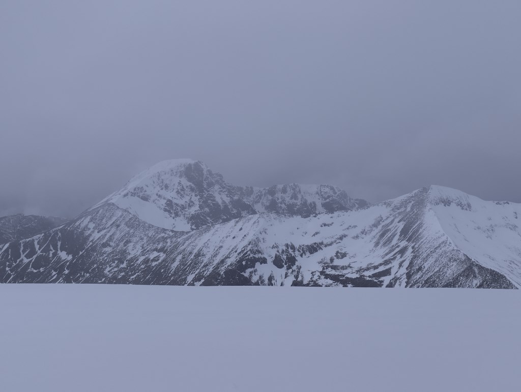
Ben Nevis & Aonach Mor (Fort William To Loch Leven)
This area covers the mountains between Fort William, Loch Leven (to the south) and Loch Treig (to the east). The area includes Ben Nevis and Carn Mor Dearg, The Mamores, The Aonachs and The Grey Corries. An impressive 20 Munros are split equally by Glen Nevis and the waters of Abhainn Rath. Relatively accessible from the A82, these mountains hold some classic walking and climbing routes such as The Ring of Steall in the Mamores and Point Five Gully on Ben Nevis. Includes all major peaks above 600m.