
Helm Crag and Steel Fell.
From Dunmail Raise in very poor visibility, rain and 25 mph winds. A day designed to combine navigation strategies.
From car park followed road to Lancrigg and into Easedale. From there navigated to contour features on south eastern slopes of Helm Crag under Bracken Hause. Then up to Bracken Hause and then up and down summit of Helm Crag. Visibility and conditions very poor. From Bracken Hause over Gibson Knott to predefined attack points to further contour features 100-200m off main ridge towards Greenburn Bottom. Learning here was that short legs from attack points worked very well. The challenge in the conditions was reaching the attack points (in this instance cols along the Gibson Knott ridge) in poor visibility and relocating accurately in poor conditions.
From the area around Rough Crag aimed off to pick up path to Steel Fell and then onto Steel Fell summit before descending south east to Helmside and pack to car park.
Area :
Central Fells
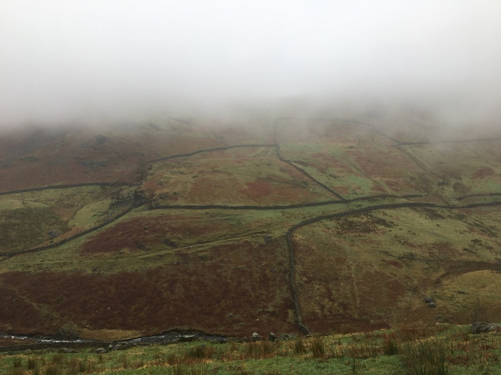
The Vale of Keswick, provides separation from the Northern Fells whilst to the west runs the long valley of Borrowdale. The parallel eastern boundary is created by Thirlmere and the St Johns in the Vale. Grasmere to Windermere forms the remainder of the eastern boundary. In the west, Stake Pass descends into Great Langdale.