Mournes hiking trip Day 2
Starting: J 299 345 (carrick little carpark)
Start time: 10am ish
Duration: about 7hrs
Expected End Date and Time: 12310/2024,5pm
Purpose of the Hike-
Seeing something new:
Head north up to Carrick Big where we meet the Mourne wall and follow it west to Slieve Binnain.
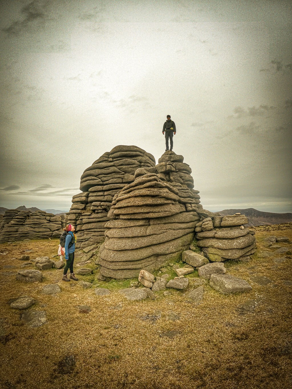
Head north down 'the back castles' over the wall and onto the North tor.
Down buzzards roost to the dam at Ben crom reservoir.
Follow the east side of the reservoir to the shelter stone, have lunch then up the side of Kilkeel river to the path we were on yesterday, then follow that north east towards Slieve Corragh.
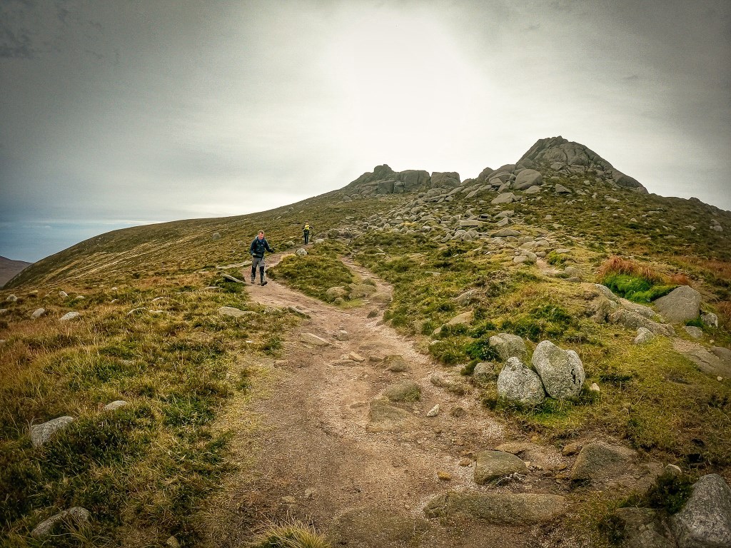
Now continue southeast to meet a track which takes us up to Slieve Beg, or if I think the guys are up to it, we go down and around the front of Slieve Beg tor then up the devils coachroad which is a much tougher ascent involving climbing boulders and a good exposed scramble to the top.
Then we hit two other peaks; cove mountain and slievelamagan on our way back (sw)
Now a big drop down the south side of the hill into the valley then turn east.
Past Blue Lough and on back to Carrick big and finish.
Being engaging:
Taking in the environment, the views and maybe picking more challenging ways over some tors and other rock.
Being challenging:
hopefully some scrambling and steep ground.
Hitting a good peak:
Slieve Binnain 747m, Cove mountain 655m, slievelamagan 704m.
Learning:
Maybe learning about the clouds, rocks, the Mourne mountains and some nav.
Kit List for 6-8 hours in big mountains:
Same as usual.
Extra kit (leader):
inreach mini, extra 1st aid and group shelter, extra food, clothing and rope for emergencies as it is quite rugged in places.
Weather:
Frosty morning but dry and bright throughout the day. Getting hazy as the day progresses.
Wind:
South 15mph throughout the day but building to 35 in the evening.
Temp:
-1 on the tops, +1 to 10 in the valley.
Will check weather and safety procedures again on morning of hike.
Summary:
The day went well. It wasn't nearly as cold as we expected and there was absolutely no wind for the first 4-5 hours. The Tors were awesome and the views were amazing. A lot more moss on this side of the reservoir. Devils coachroad wasn't as bad as we were expecting. Charlie went around and met us at the junction between Slieve Beg and Cove mountain. He wasn't up for a scramble. Another class day and we all really enjoyed it.
Area :
Mourne Mountains
Slieve Donard