Andy Heald - 102692

logs 1,502

Awards Completed

IML MLW ML
Member Of

International Trekking Record

Details

Date : 22/06/2025

Duration : 8+ hours

Style : Equals

Type : International Summer Quality Mountain Day

Weather : Clear - sunny - good visibility

Wind : No wind

Camping Type : Cabin/Hut

Nights Camping : 1

Mountains :

Flagged :

Description

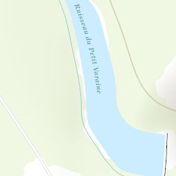
Up about 200m to Col Agnel 2800m at the Italian border & down, partly by road to 2010m. Then up with bouquetons to Passo Lossetto 2800m & up to Point Joan at 3052m. The onward traverse path was obscure & we had to work out which way the finger post was pointing before it fell over! The path itself was crumbly & narrow & home to some large moulting bouquetins. It led to Col Valente on the French border. Then a rather indirect & snowy descent to the Viso hut, which was almost empty.

Area : France

Location

Marker
Leaflet Tiles © Esri — Esri, DeLorme, NAVTEQ, TomTom, Intermap, iPC, USGS, FAO, NPS, NRCAN, GeoBase, Kadaster NL, Ordnance Survey, Esri Japan, METI, Esri China (Hong Kong), and the GIS User Community

Images

Loading