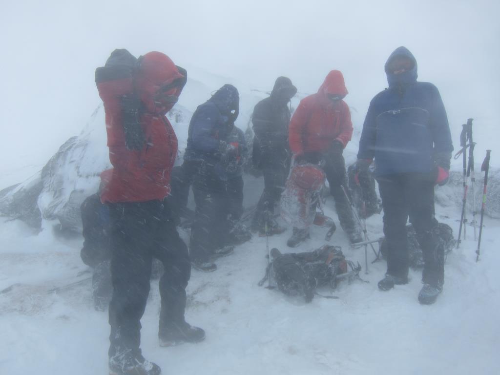
Day 5 of Winter Skills and Mountaineering Course with the Austrian Alpine Club based out of Killin.
Worst day of weather we had bar Tuesday`s rain. Guided day with an outline plan of heading up Ben Lawers but expecting to need to turn back when the strong winds developed. We got as far as Beinn Ghlas which was a great effort from the group in the conditions. Goggles on most of the day. We headed up the Southerly ridge to the Col with Meall Corrannaich then up the final slope to the summit.
Area :
Glen Lyon to Glen Dochart & Loch Tay (Ben Lawers)
This area covers the peaks to the north and east of Crianlarich. Glen Lyon forms the northern boundary while the road from Crianlarich to Aberfeldy is the southern boundary. The Ben Lawers group in the east of this area includes seven separate peaks, all Munros, which are part of an impressive 12km ridge line. The western side of this area is generally lower and not as steep but does still home some a number of Munros. All major peaks above 600m are included in the mountains list. The area to the north is Loch Rannoch to Glen Lyon.