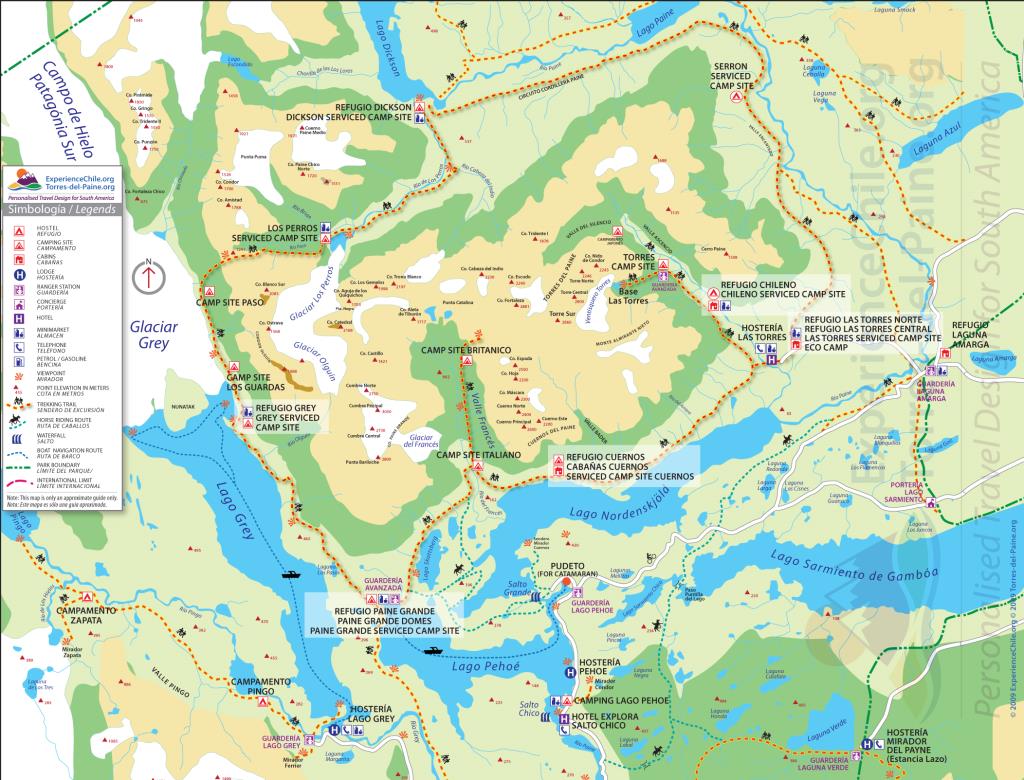
The O and the W Torres del Paine Trail...Anticlockwise, starting the trek from Torres to Seron you're on reasonably good/dryish Pampas (Steppe). From Seron to Dickinson Refeuge you hit a waterlogged flood plain with sodden and badly maintained wooden planking. From Dickinson to Perros and the John Gardner Pass you trek through tortuous forest with tripping tree roots and washed away trails. if you’re lucky you may have a snow free ascent over the John Gardner, for us it was soft fresh snow, waist deep in places with an occasional blizzard. From there on the trail climbs and descends across ravines, scree and alpine woodland. All this time you’re likely to witness not just 4 seasons in one day, but probably every hour.
Day 1
Torres del Paine National Park; trek to Campo Serón.
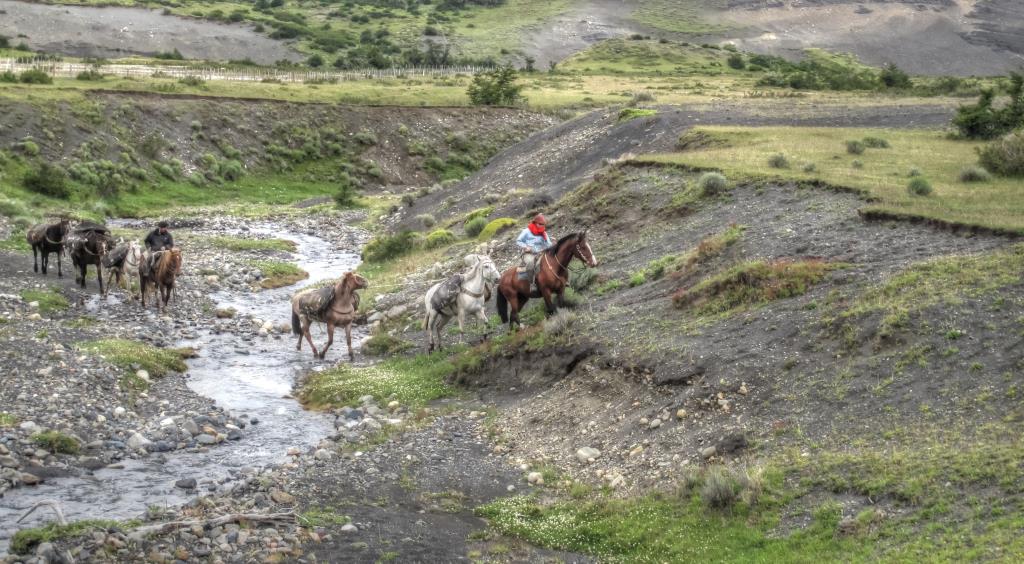
The views continue to get more impressive as we approach our trailhead at Refugio Las Torres area. Arriving late afternoon, an undulating path leads us to our first overnight stop, Campo Seron, host to many species of birds including Parinas, Black Woodpeckers and Buffed Neck Ibis. (approx. 4.5 hours, 12km)
Day 2
Trek to Lago Dickson via Lago Paine.
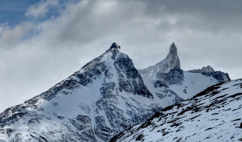
From Campo Seron we enjoy an easy trek through undulating terrain to Lago Paine along the Cordillera Paine circuit. On the way we pass through beautiful forested landscapes, which escaped a great fire that took place at the beginning of the last century. We hope to see black woodpeckers today: listen out for the sound of their furious hammering upon these gnarled trees! Once we arrive at Lago Paine, we have a spectacular view of the north side of the Paine Massif, seeing the stunning peaks of Cerro Oggioni, Cerro Tridente, and Cerro Cabeza del Indio. The trek continues westwards along the southern bank of the Paine river. We descend down to the lake shore, then continue across open grasslands along the river towards Refugio Dickson (approx. 6-7 hours, 18km)
Day 3
Trek to Los Perros
Follow th Los Perros river to the wildest and least accessible section of the trek. It is here where we began what is perhaps the longest forest walk in Patagonia - trekking through impressive ancient virgin beech forests (look out for four different varieties: lenga, ñire, cohihue and guindo). The path is crossed by many water courses and offers the best and closest views of the Paine massif.Camp at Laguna Los Perros, in the middle of dense forest. (approx. 4 hours, 10km)
Day 4
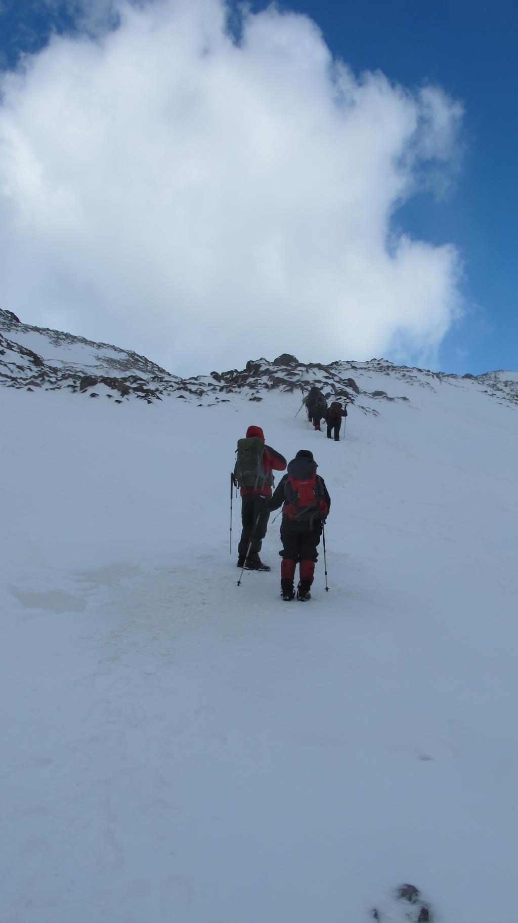
Trek to Paso John Gardner; view Glacier Grey.
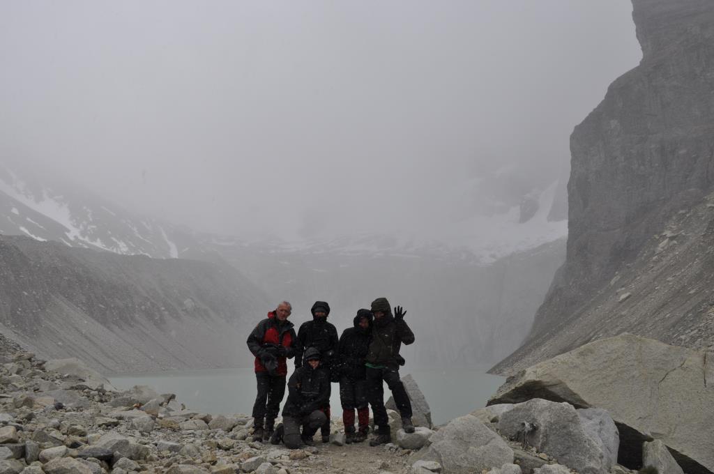
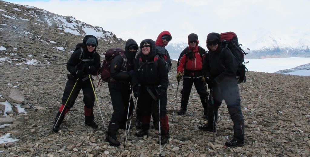
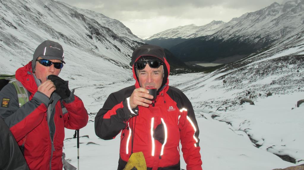
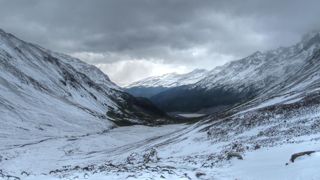
Today we ascend for several hours until we reach the John Gardner pass (1241m), the highest point of the circuit. Here we WERE be rewarded by an awe-inspiring view of the south Patagonian ice cap and the Ventisquero (Glacier) Grey, an enormous fractured mass of ice covering the valley. Glacier Grey empties part of the giant South Patagonia icefield into Lago Grey, and the lake is often filled with impressive giant icebergs drifting across the waters. The route continues roughly south along the trail, crossing forested slopes, gorges and streams, with superb views along the way. (approx. 11-12 hours, 22km)
Day 5
Refuge Lago Grey
Today we rested and soaked up the beautiful views of Glacier Grey and the surrounding area.
Day 6
Trek to Paine Grande Refuge.
Leisurely start and our trek continues along the eastern banks of Lago Grey through clearings of calafate bushes. The view over the lake and its sculptured icebergs drifting across the waters is again very impressive. The path leads over undulating terrain towards the shores of Paine Grande. (approx. 4 hours, 11km)
Day 7
Trek to Refuge Valle Francés.
Leaving behind the emerald green Pehoe lake, the track makes its way through the undulating terrain of mixed grassland, firebush and light forest. We pass Skottsberg lake and the south-east slopes of Cerro Paine to meet river Frances. From here we follow the river upstream to Mirador Francés, offering views of Glaciar Francés. We continued to a small hut built by a British climbing expedition. This magnificent setting is surrounded by high peaks on all sides - Cerro Aleta de Tiburon (Shark's Fin mount), Cerro Cabeza de Indio (Indians Head mount), Cerro Escudo (Shield mount), Cerro Fortaleza (Fortress mount), Cerro Espada (Sword mount), Cerro Hoja (Blade mount) and to the north the famous Cuernos del Paine. We head back down the valley again and then carry on walking along the panoramic trail to the shores of the blue Nordenskjöld lake, where we find our next Refuge. (approx. 9-10 hours, 27km)
Day 8
Trek to Refugio Torres.
This trail is known as Sendero Paso Los Cuernos, due to the fact that it passes under the dramatic Cuernos (horns). We walk alongside the shores of the beautiful Nordenskjöld lake, crossing small rivers and wide grasslands along the way. The hike was supposed to be very relaxing!! taking us to the Asencio river and on to our final Refugio. (5 hours, 11km).
Day 9
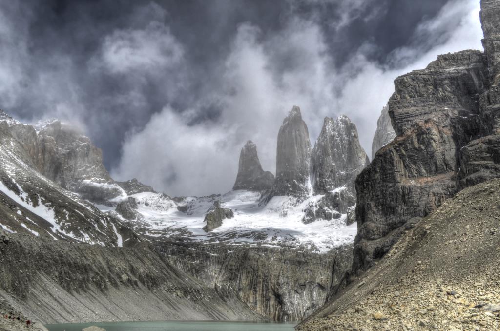
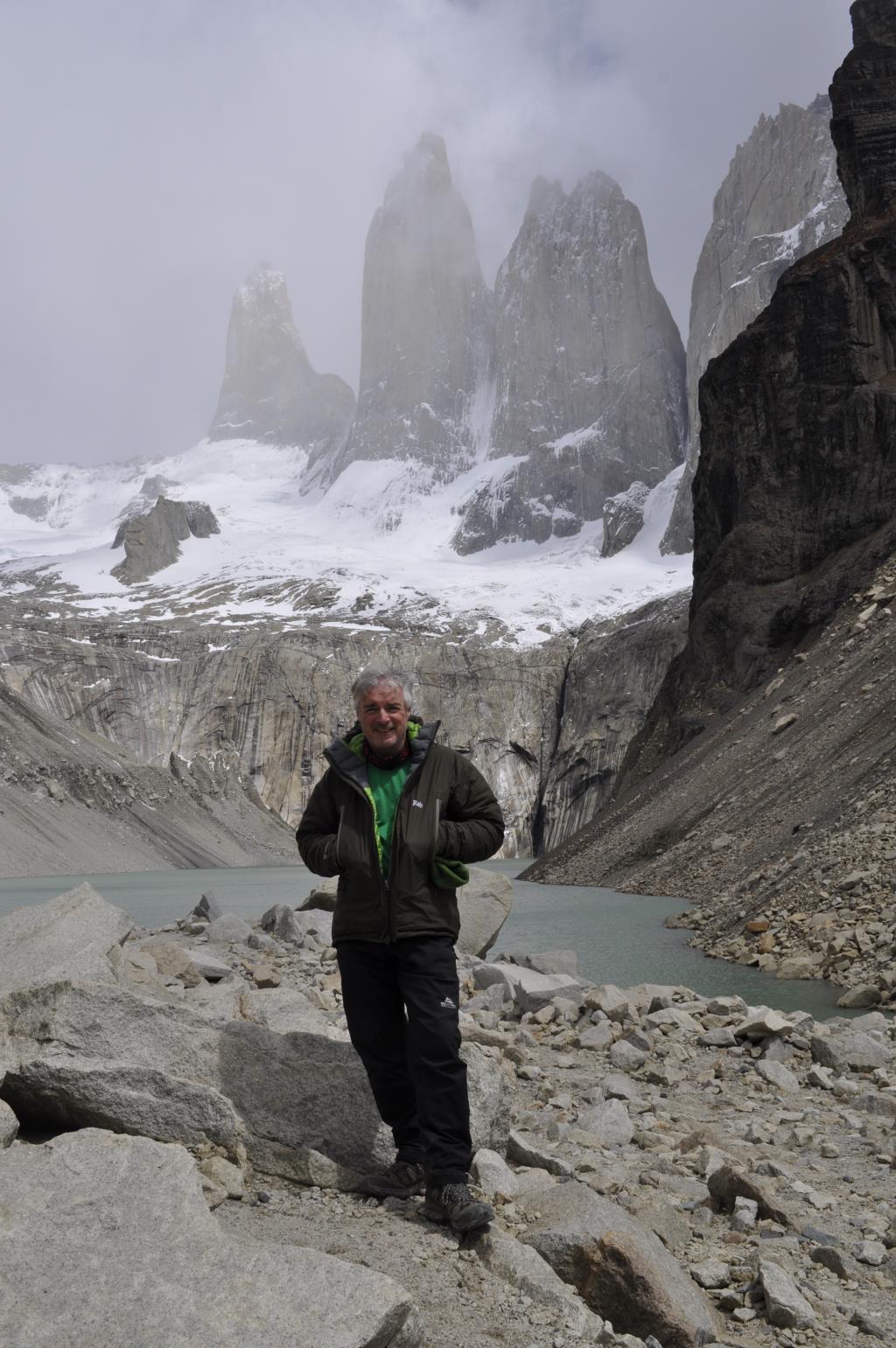
Trek to Torres del Paine viewpoint. Hurrahh!!!
Our final day of trekking took us to the foot of what has inspired us much over the last week - the impressive granite towers of Torres del Paine. Climbing steeply, high above the scattered blue lakes, we hike along the Asencio river, and up towards the Torres. After a final clamber over steep terminal moraine deposited by a glacier centuries ago, we reach a panoramic point from where we admire one of the best known sights of Patagonia, the Paine Towers, rising very close above a green lagoon. The famous Torres del Paine (2900m/9400ft) consist of three gigantic granite monoliths, overlooking a landscape shaped by the forces of glacial ice and the elements. After returning to Refugio Las Torres, we enjoy our final afternoon within this awe-inspiring National Park. (approx. 9 hours, 20km)