The plan was to wild camp, nav practice, safety on steep ground and group management with an ML(S) and a climbing instructor. Sort of a dress rehearsal for me.
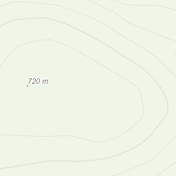
We met at the Graigddu-isaf car park, sorted our kit and set off toward Bwlch Tyddiad, once at the 458m spot height we turned left and headed up Rhinog Fawr.
The terrain is quite difficult to walk across once you are off the main paths and this is due to the vegetation and boggy nature of the ground.
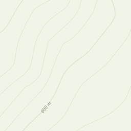
The visibility was good so the nav was quite easy going. We settled for Bwlch Drws-Ardudwy by two sheep folds and 310 spot height as our campsite for the evening. There was a stream coming directly off Fawr so we had a good water supply but the ground was not the best due to the heather for pitching both of our tents and we had to clear some ground.
Once we had eaten, the sun had stared to go down, the plan had been to get some night nav practice in but due to the difficult terrain we thought it better not to risk our ankles.
So we turned in for the night after another brew.
The weather changed as forecast and it rained quite hard until 0100 hrs, we woke to a good frost on the ground and our tents being frozen but the sun was trying to come out.
We had some breakfast and broke camp and made our way to some steeper ground to get some rope practice and group management sorted.
After this we made our way off the hill and arrived back at the car park a little over 24 hours after we left.
Area :
Rhinogydd
The Rhinogydd (a Welsh plural form, often anglicised as Rhinogs and also known by the alternative Welsh plural Rhinogau) are a range of mountains located east of Harlech in North Wales. The name Rhinogydd derives from the names of two of the more famous peaks, Rhinog Fawr and Rhinog Fach, although the greatest elevation in the range is reached by Y Llethr, 756 m.