Day 3 of my ML(S) assessment.
This was the first day of our exped and it took place in the Molwyn area.
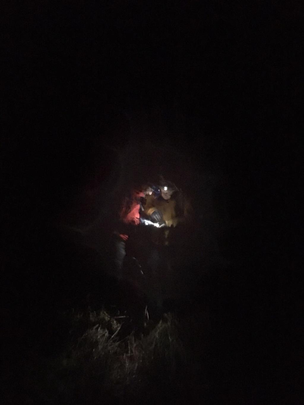
We spent the day being assessed on our nav, campcraft, leadership and night nav.
We moved over Cnicht, Y Cyrniau and camped in the sheepfold west of Llyn Edno.
The visibility was much better during the day and the rain held off until the evening when the wind and rain really picked up for our night nav assessment. We were even treated to some thunder and lightning.
Area :
Moelwynion
The Moelwynion (a Welsh plural, sometimes anglicised to Moelwyns) are a group of mountains in central Snowdonia. They extend from the north-east of Porthmadog to Moel Siabod, the highest of the group. The name derives from the names of the two largest mountains in the group, Moelwyn Mawr (great white hill) and Moelwyn Bach (little white hill).