Location
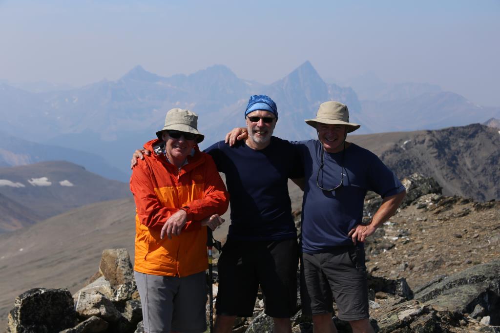
Whistler Mountain and Indian Ridge, Jasper – Canadian Rockies
Route – Whistler Mountain to Indian Ridge
Notes
Poor air conditions in Jasper smoke in the air from fires in British Columbia
Navigation
Maps-Gem Banff – Best of Jasper 1:35,000
GPS-Garmin Fenix 2
Android-Samsung S4 Active with Alpine Quest APP
Weather
Morning -Sunny day, cloudless sky
Afternoon -Sunny with little wind
Ground Conditions
Mountain Path, with scramble to summit of Indian Ridge
Time
Length: 9.7k
Total Ascent: 781m
Total Decent:777m
Highest Point: 2,663m
Time: approx: 5hrs 30min.
Group – Assisting Trek leader with 1 other Adult