Location
Emerald Lake and Basin Yoho British Columbia12th August 2018 – Canadian Rockies
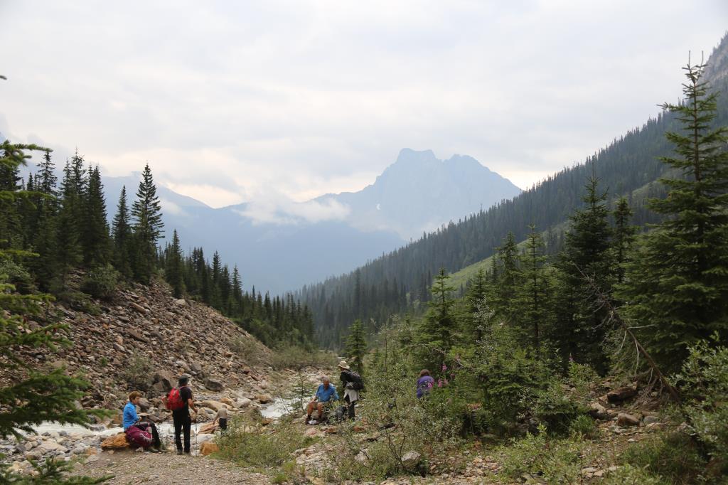
Route – Severe thundery weather prohibits original hike over Yoho Pass, so opt for hike around Emerald Lake and up to Emerald Basin.
Notes
Excellent option due to bad weather, good information about the Burgess Shales
Navigation
Maps-Gem Yoho & Lake Louise 1:50,000
GPS-Garmin Fenix 2
Android-Samsung S4 Active with Alpine Quest APP
Weather
Morning -Cloudy day, slight rain
Afternoon -Cloudy Day slight Rain
Ground Conditions
Good path around Lake folled by, rough forest path up to high basin
Time
Length: 14.4k
Total Ascent: 312m
Total Decent:382m
Highest Point: 1,410m
Time: approx: 4hrs 46min.