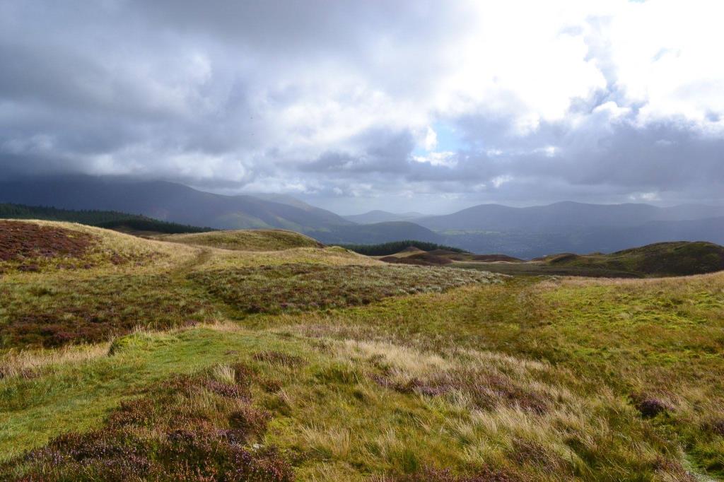
Beginning the walk from the visitor centre we (myself and the dog!) headed along the green route, using the map to locate the track at NY2004247 which led off towards Whinlatter Top. A sharp turn to the right following the fence up a steep slope took us to the main path at NY2004248, this led across boggy moorland and gradually became more indistinct as the way became more boggy. Care was taken to cross safely and at Whinlatter summit the views were extensive, if rather breezy. I decided to head back the same way but then to extend the walk we followed the green trail to Seat How and down via Thwaitehill Knotts.
Area :
North Western Fells
Essentially this area is encompassed by Lakes of Bassenthwaite, Derwent Water, Buttermere and Crummock Water with the southern boundary being the Honister Pass