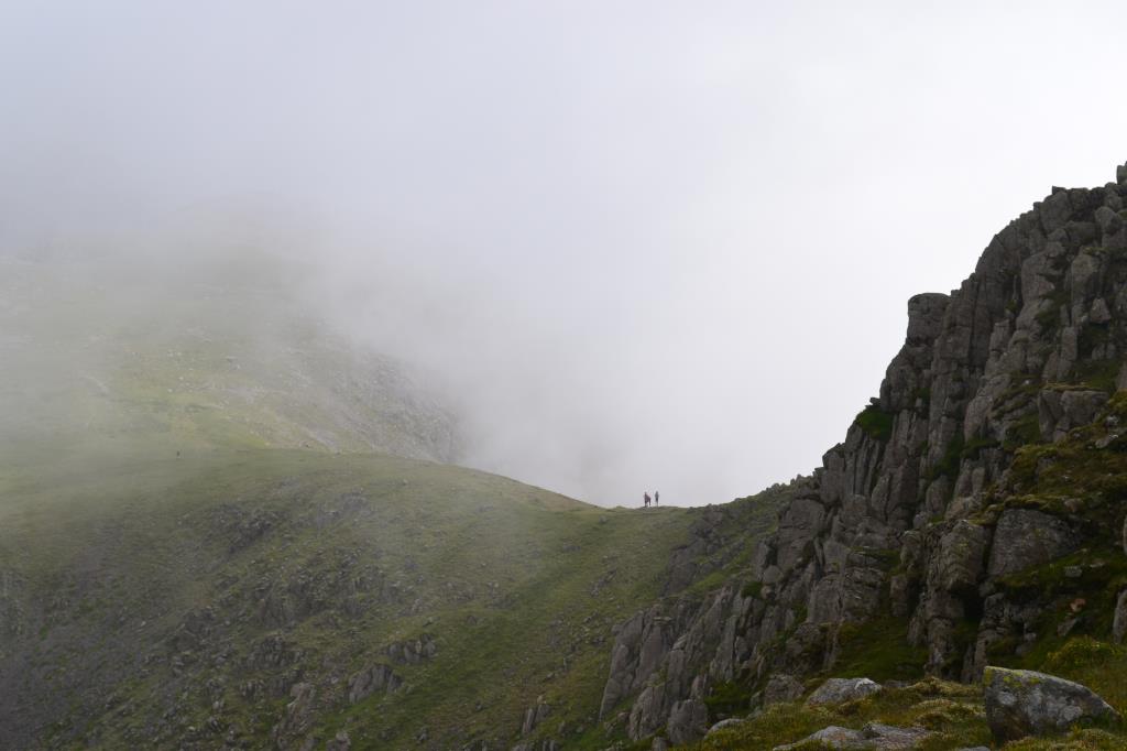
Date is approximate. This day I set out from Bowness Car park at NY111154 and walked along the forest track beside Ennerdale Water, to cross a bridge at NY131143. I followed this path through warm sunshine, heading Southwards through Ling Mell Plantations, then navigated through the trees to a path over heathery moorland to Tewit How, where I encountered a couple of my Facebook friends by chance, who were planning to climb Haycock. At this point it was very foggy and compass was required to find the wall which marked the crossroads of the footpath to Haycock and Scoat Fell. I bid good day to my friends and headed up over Scoat Fell, Great Scoat Fell, where visibility was down to about 30 feet. (9m). I paused on Little Scoat Fell and then the cloud began to break up a bit. I was able to see much further now, though visibility was still not the best, but I was able to find the path to Steeple before returning to Little Scoat Fell and onwards to the East, to attempt the final climb to Pillar. As I walked along the mist broke still further, and there were some amazing views of the clouds clinging to only one side of the fell, leaving the other side of the ridge clear. Pillar summit was shrouded in mist, but as I climbed the clouds were lifting all the time and were just skimming the summits as I reached the trig point. After a well earned rest and lunch stop, I headed down the steep rocky path via White Pike. I crossed High Beck and photographed some lovely Foxgloves there. The bridge had been destroyed so it was a careful crossing of the stream before entering the woodland. When I reached the main path there was a sign saying the way was closed due to tree 'illness', so I had to change my return plan and head East until a bridge was encountered at NY165135. It made for a long trudge along a forest track back to the car, but there were some great views of Pillar Rock along the way!
Area :
Western Fells
The Western Fells form the southern wall of the Buttermere valley and the northern fence of Wasdale. Between the two lies Ennerdale so that in effect the group is the shape of a single horseshoe, each branch about 10 miles in length.
At the head of Ennerdale stands Great Gable. The southern arc of the group travels due west from Great Gable, the main ridge consisting of Kirk Fell, Pillar, Scoat Fell, Haycock and Caw Fell.