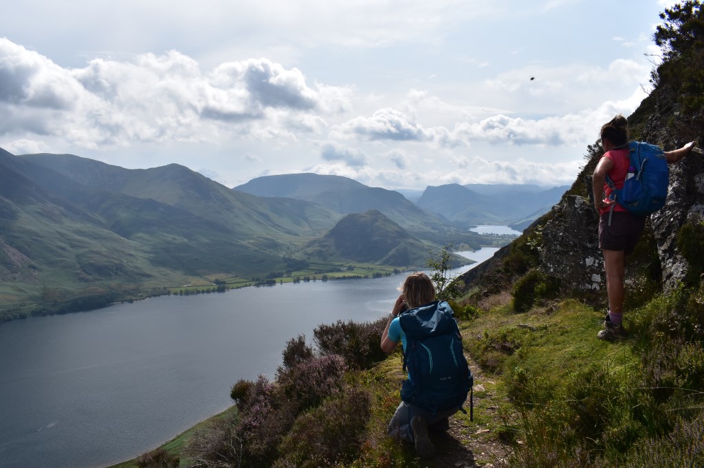
I began at the National Trust car park in Lanthwaite Woods, where I walked onto the road and turned West, heading over the bridge, turning left onto a minor road leading to Muncaster House. I continued on the road turning South to Low Park where I picked up a footpath beside a wall to Green Wood. Here I turned West and followed the wall through pleasant mixed woodland, meeting the farmer who was supposed to be repairing said wall but instead was dancing to something on the radio! After a brief conversation I continued West where I encountered 2 ladies who were also looking for the path to Mellbreak. One of them was a mountain leader from the Yorkshire Dales and I joined them on the ascent of Mellbreak via the steep, loose scree path to White Crag. Here there were spectacular views over Crummock Water and Buttermere as well as the Northern aspects. We continued onto the first summit of 509m (Mellbreak having 2 summits). The lady and her companion decided to hang around awhile here and had planned a different route to Loweswater, so I said my goodbyes and continued alone to the second and tallest summit of Mellbreak at 512m (NY148186). From here it was a steep descent on grassy ground to Scale Knott, and a climb over a fence to join the Bridleway beside Black Beck. I headed East then North East to join the lakeside footpath, heading North to Low Ling Crag. From here it was an easy return along the lakeshore to Lanthwaite Woods and a pleasant stroll through the mixed woodland to the car park.
Area :
North Western Fells
Essentially this area is encompassed by Lakes of Bassenthwaite, Derwent Water, Buttermere and Crummock Water with the southern boundary being the Honister Pass