The team was - Me (Gaz), Ben, Haz, Jacob and Joe.
We parked up at the car park through the steel gates on Walna Scar Road - arriving at 5pm. The plan for Friday evening with the weather coming in and the clouds changing to a dark black...Was to ascend to Blind Tarn and erect our tents and then to venture into the local slate mine which is under Brown Pike (hidden and out of the way).
I had already reviewed the Synoptic Pressure Charts and listened to the weather reports and knew there was a low pressure coming in with high winds. So I hear you asking why we would venture out on such a bleak weekend - well it was to experience these conditions..! I think that Poor weather and Poor Visibility is needed to be experienced to be able to guide others through the same conditions, so I learnt valuable lessons through out the weekend.
Tents were erected quite quickly, air beds blown up and sleeping bags put out. I noticed that my sleeping bag was a little damp - due to the holding sack not being waterproof - lessons learnt for future exped’s. From there we all ascended to the mine with our head torches and camping stoves and food. This was a great evening and enjoyable with the team, many laughs were had with exploration of the mine - all members of the team enjoyed this.
After a long night of storm weather and local flooding we discussed what we wanted to do for the day over breakfast. The tents were soaked and one of the tents allowed water through the base, which then wet their clothes. Again this gave some lessons learnt for all of us on the trip - keep clothes inside your sleeping bag, this has to benefits; keeps clothes warm and keeps them from getting damp. Also, it tested the tents to the extreme and weaknesses and capabilities were understood and whether any modifications needed. It definitely tested my exped tent and I found needs additional guide ropes to ensure it stays erect rather than it becoming a bivouac where the single end pole doesn't collapse in high winds - the front curved pole stayed erect. The good point was I remained dry... What I also learned was to careful choice your tent location - what was a dry area could of quite quickly become a lake - so areas where there is a dip, what looks great on the evening to erect the tent could be full of water in the morning.
After breakfast we had agreed as a team that we would keep the day short and our main summit would be the Old Man of Coniston - and from there head down to Low Water to the North East and then East past the quarry. The visibility began to improve as we descended from the Old Man Of Coniston so navigation became a lot easier, eventually we returned back to the car. Summits achieved during the day were Brown Pike, Dow Crag, Goat Hause onto The Old Man of Coniston.
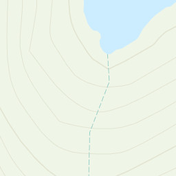
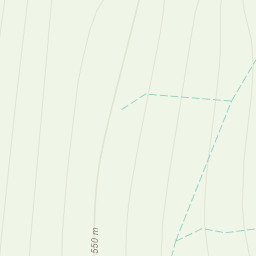
Throughout the day our navigation was tested, with very low visibility and rain! We walked on a bearing with aligning the map and then pacing a distance - some areas were a little more difficult to navigate, especially between Brown Pike to Dow Crag and then from Goat Hause to The Old Man Of Coniston. The section at grid reference SD 26729 98339 was difficult to navigate and some discussion was had to understand where we were and where we needed to go - what did we learn from this - attack points and also looking at how the path direction to debate our route - plus a compass bearing, a great bit of experience and hard nav.
This weekend was full of Great Memories and Great Times and lots of lessons learnt. A really great route, just wished we had stayed in the mine for the evening :-)
Area :
Southern Fells (Scafell Pike)
The Southern Fells Include Scafell Pike, the highest peak in England, occupy a broad area to the south of Great Langdale, Borrowdale and Wasdale. High and rocky towards the centre of the Lake District, the Southern Fells progressively take on a moorland character toward the south west. In the south east are the well known Furness Fells, their heavily quarried flanks rising above Coniston Water.