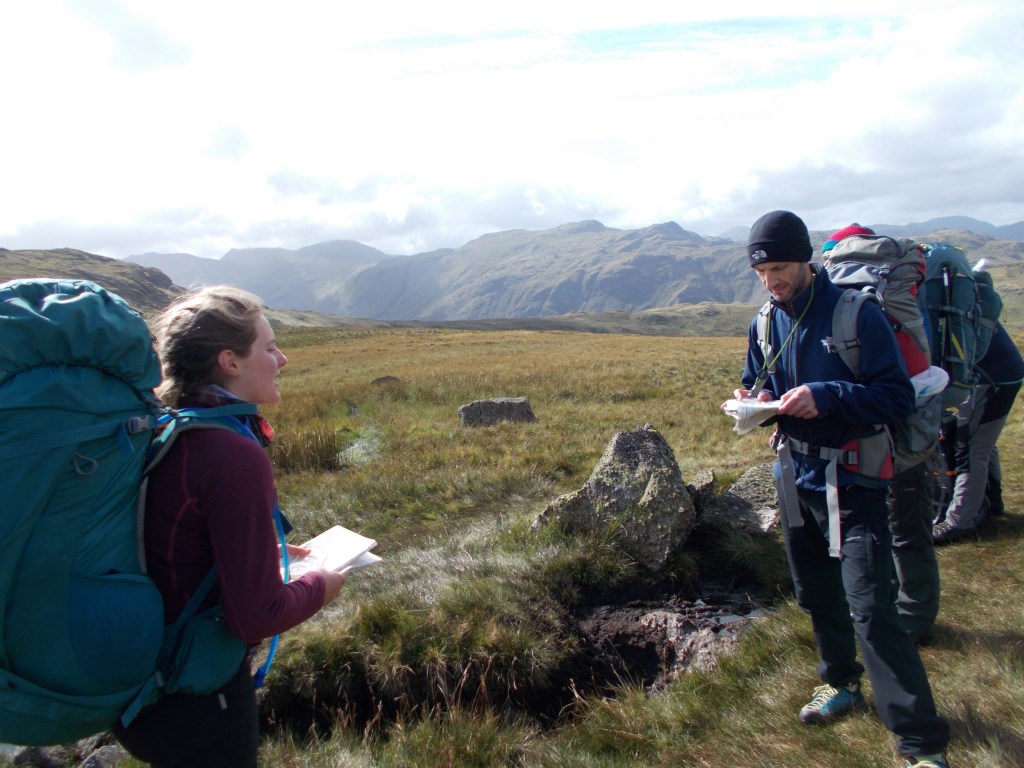
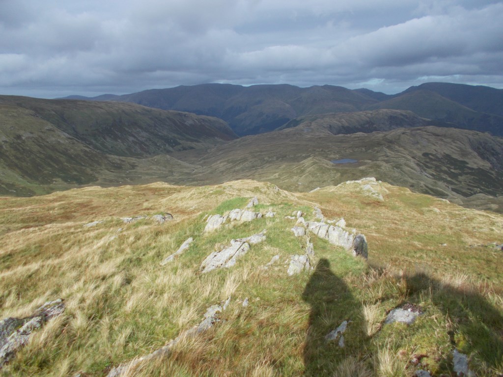
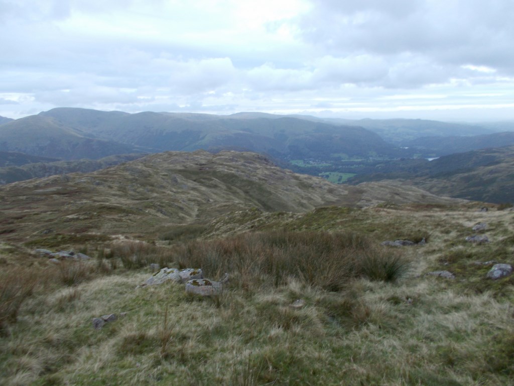
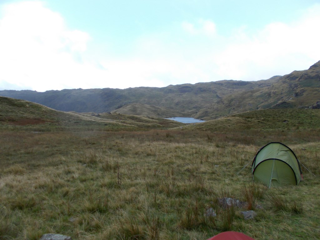
The weather started off fair with sun and good visibility. As the day went on it became increasingly cloudy with a warm front coming in, but still good visibility. We began from Stonethwaite School and walked SE down the road to the village, where we turned left over a bridge and continued along the Cumbria Way to Greenup Gill. We climbed up to Lining Crag then cut across open country and pathless terrain over Greenup Edge, past Ash Crags and down to Codale Tarn, where we camped. After tea, we did night navigation around Tarn Crag in heavy rain and gale force winds (gusting 50mph) until midnight, when we returned to the tents.
Area :
Central Fells
The Vale of Keswick, provides separation from the Northern Fells whilst to the west runs the long valley of Borrowdale. The parallel eastern boundary is created by Thirlmere and the St Johns in the Vale. Grasmere to Windermere forms the remainder of the eastern boundary. In the west, Stake Pass descends into Great Langdale.