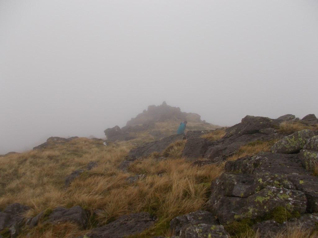
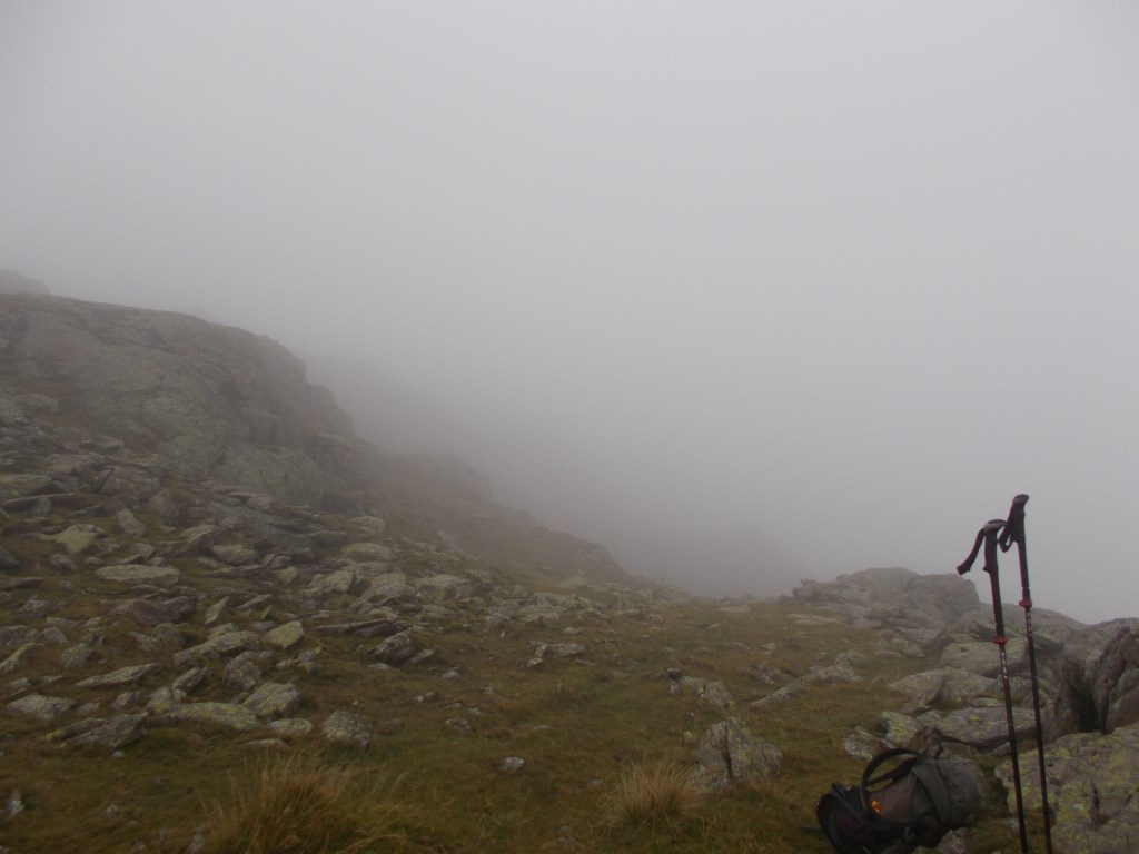
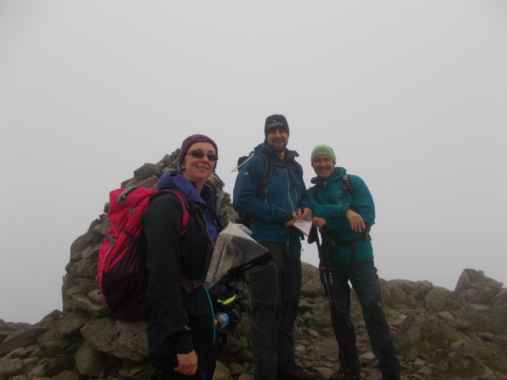
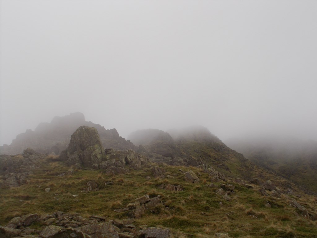
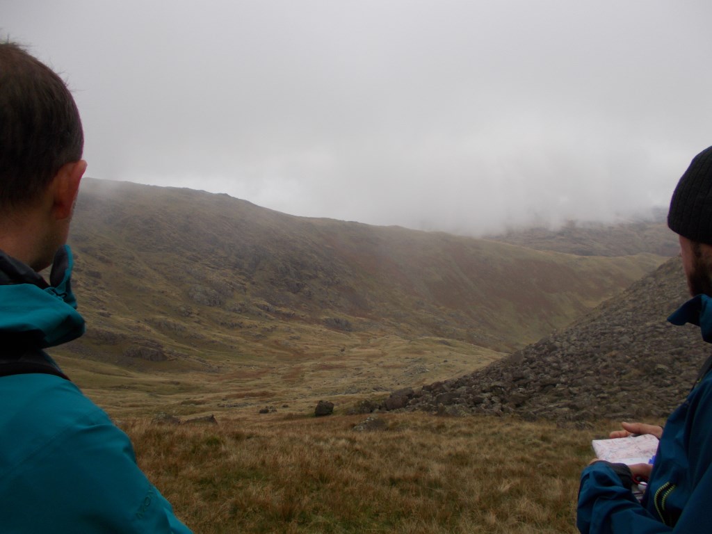
I attended a training day with a friend doing 1:50000 and 1:25000 navigation. The weather was overcast with fog for most of the time, with occasional, brief clear spots (perfect for navigation practise!). We parked at Three Shire Stones and headed South and practised along Wet Side Edge, heading West to Great Carrs. Then we headed up onto Swirl How then down Prison Band to the col, where we headed North and followed the contours below Rough Crags then up onto Wet Side Edge and back to the car.
Area :
Central Fells
The Vale of Keswick, provides separation from the Northern Fells whilst to the west runs the long valley of Borrowdale. The parallel eastern boundary is created by Thirlmere and the St Johns in the Vale. Grasmere to Windermere forms the remainder of the eastern boundary. In the west, Stake Pass descends into Great Langdale.