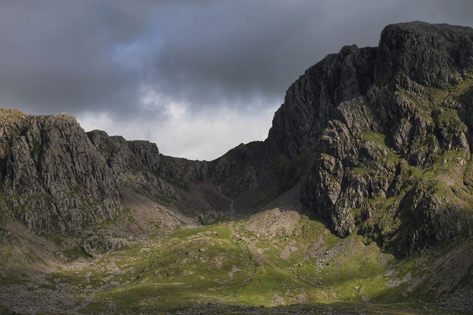
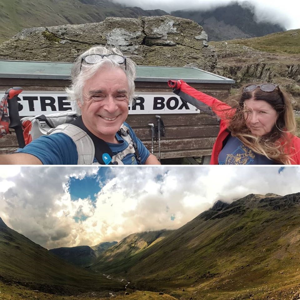
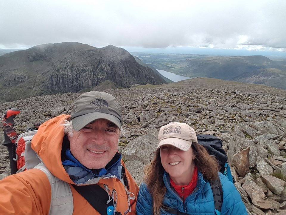
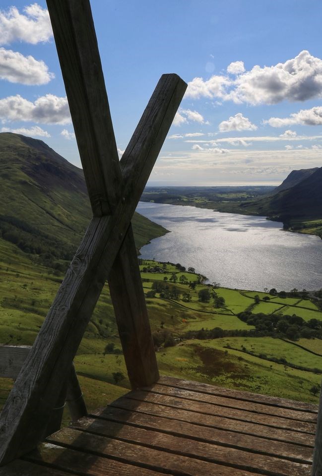
Classic mountain route to Scafell Pike from Wasdale Head, via Sty Head and Corridor Route, allowed for superb views all day, with dramatic Gill crossings. The only difficulty being the 'awkward step' near Greta Gill, involving a short 'hands on' scramble section, that's easier going up than down. The ascent of Lingmell wasn't taken in, but skirted round, either way the descent via Lingmell's West spur made for a much quieter end to the day and opened up the full prospect of Wast Water Lake as a finale to the days walk.
This was a full day mountain walk, with over a 1000m of ascent, allowed a good 7 hrs taking breaks/photos and admiring the views.
Area :
Southern Fells (Scafell Pike)
The Southern Fells Include Scafell Pike, the highest peak in England, occupy a broad area to the south of Great Langdale, Borrowdale and Wasdale. High and rocky towards the centre of the Lake District, the Southern Fells progressively take on a moorland character toward the south west. In the south east are the well known Furness Fells, their heavily quarried flanks rising above Coniston Water.