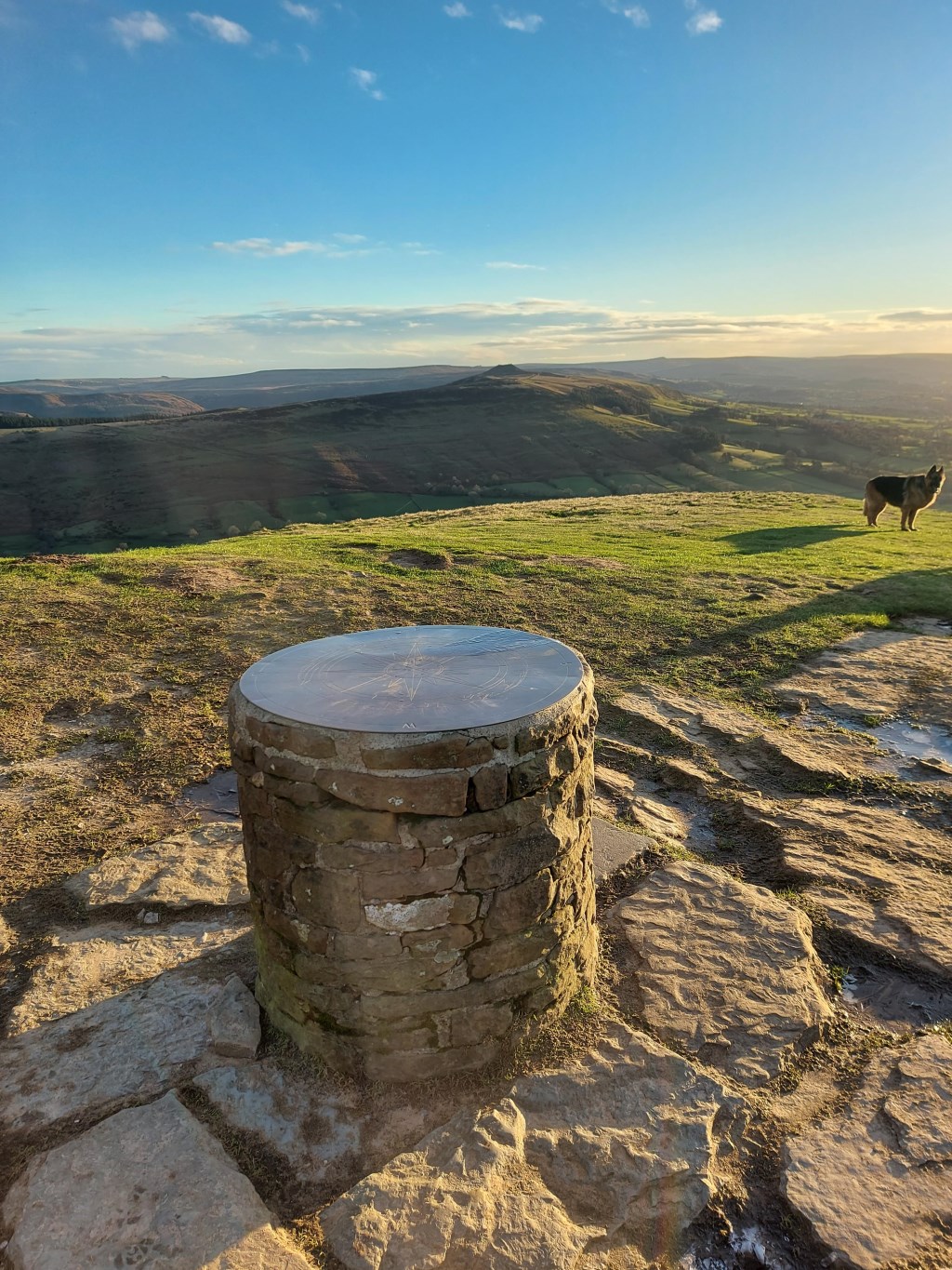
Hope Rail Station to Chinley Rail Station: Christmas Eve walk from Hope Rail Station parking lot to Hope Village, ascending to Summit of Lose Hill (476m), west along the Great Ridge to Back Tor, Hollins Cross, Mam Tor (517m), Rushup Edge/Lords Seat (546m). Continued to the far western end of Rushup Edge where it meets road, picked up the bridleway/recreational route northwest to Tam Moor Plantation, crossing the ford at Roych Clough, then to South Head (494m), then Mount Famine (473m), then descended west to Peep-O-Day Farm. Ascended back up onto the quarries along Cracken Edge, to the south end and then descended to Chinley.
Total Journey Time: 6 hours, 33 minutes; Total Distance: 23km; Total Ascent: 1,470m; Average Moving Speed: 4.1kmph
Planning included weather forecasts from MWIS for Peak District and Met Office forecasts for Hope (Derbyshire), Mam Tor, and Chinley (Chapel-en-le-Frith). Weather called for mostly sunny, with temperatures ranging from 2C to -8C, with winds on the summits and edges with gusts to 30mph, and <5% chance of precipitation. The forecasts were accurate in the morning, mostly sunny to partly cloudy. I took a wind readings with my Kestrel weather station on Mam Tor and the winds were were steady at 26 mph, with gusts to 31mph. However, about 3 hours in, at around noon, the skies became heavily over cast, and as I reached Tam Moor Plantation there was mist that turned to sleet and by the ascent to South Head it was snowing for about 30 minutes. I walked back down out of the snow to Peep-O-Day Farm, but back up into light snow on Cracken Edge.
From a risk standpoint, the snow was no problem ( nice actually on Christmas Eve) however, the extended periods walking in high winds along the Great Ridge and Rushup Edge were not pleasant. The winds were forecast and I would consider that as a risk factor if I was leading a group. Another consideration is that in recent days there had been considerable rain. With the drop in temperatures to below freezing, at many points the trails, which are often pathways for flowing rain run off, were icy, often black (clear) ice.
Route planning was conducted with OS Maps app on my computer. I printed enlarged sections for ease of use on this route. I used my SATMAP active20 for the GPX file to document the route. Some of this route, The Great Ridge and Rushup Edge are familiar and I don't require any navigation assistance, which is good because this is an area of interest for leading groups in the future. I used my compass and OL1 map to take a few practice bearings across the Edale and Hope Valleys to resection using Win Hill, Grindslow Knoll, and Ringing Rodger as targets.
I was also pleased with my moving pace. I have intended to work on an average moving pace of 4kmph. When I began training I tended to move at closer to 5 kmph, which would be a bit fast for less experienced walkers, and it also resulted in my getting damp under layers from the heat generated by that pace. For a 6 and a half hour walk over such varied terrain, I was pleased to have maintained an average moving speed of 4.1kmph.
Though I have walked the Great Ridge and Rushup Edge in the past, the route from the far western end of Rushup Edge, to Tam Moor Plantation, fording Roych Clough and ascending South Head and Mount Famine was all new territory. I had seen these summits on a previous route further to the north and looked to incorporate them. There are amazing views from the summit of South Head of the far western end of Kinder Plateau. William Cough, Kinder Downfall, Edale Rocks, Kinderlow End, and Brown knoll can all be seen from the summit. This was a worth while foray into an area far less traveled by people than The Great Ridge/Mam Tor which are crowed with other walkers.
Area :
Dark Peak
Is situated between Sheffield and Manchester. The underlying rock is Millstone grit which is often exposed at the edge of the higher peat bogs for which the area is famous.