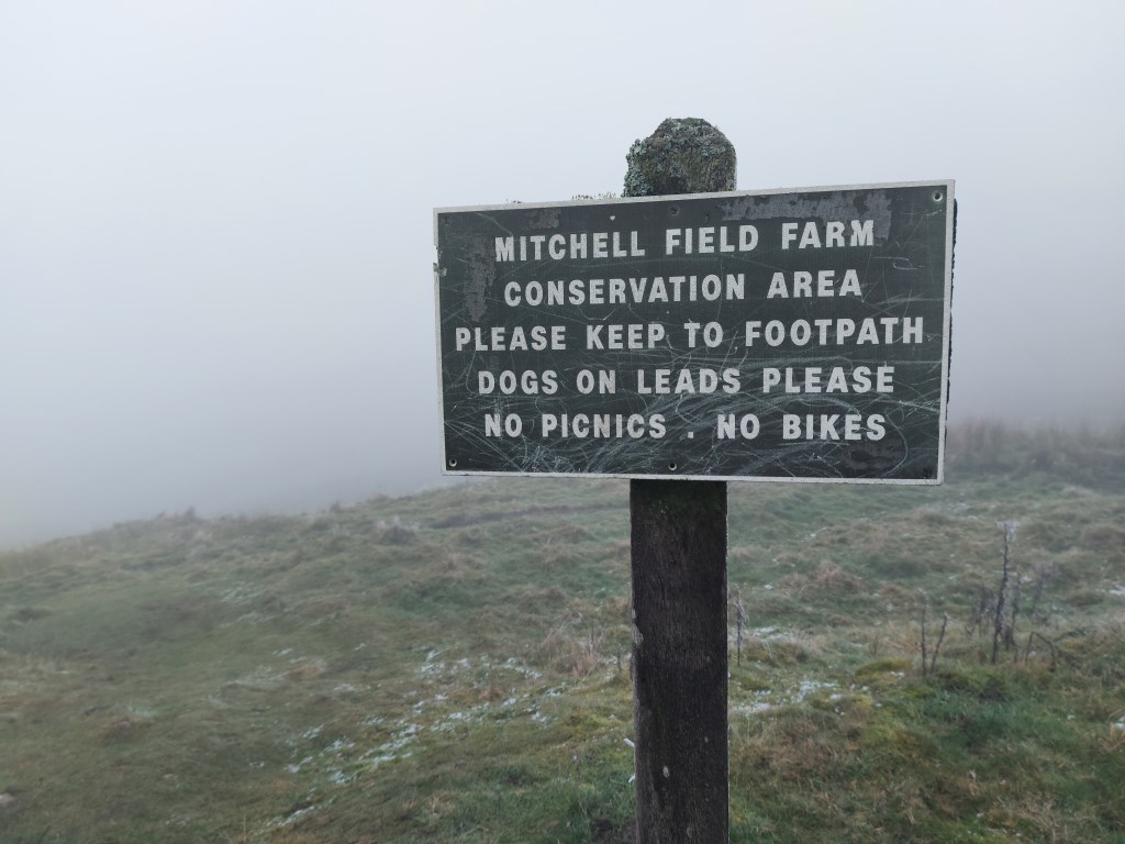
Hathersage Station northeast to High Lees, then Mitchell Field, Ascended to Hathersage Moor, crossing the moor east to Carl Wark, then descending to Burbage Brook, crossing the Sheffield County Walk and scrambling up onto Burbage Rocks, turning north and handrailing Burbage Rocks for ~1km and then left the trail, following a compass bearing east across to the rock formation on the west side of Burbage Moor and then continuing on a northwesterly bearing to Ox Stones, and the Trig Point near Ox Stones and Lady Canning's Plantation. Turned southeast, and then southwest on Houndkirk Road and Houndkirk Moor all the way to Parson Outdoor Pursuit Center, Fox House, and then Longshaw Lodge/Longshaw Estate. West to Padley Gorge, then Bole Hill Quarry, and finished at Grindleford Rail Station.
Total Journey Time: 6 hours 7 minutes; Total Distance: 16.92km; Total Ascent: 1,374m
This was a new route starting from Hathersage and directly east onto Hathersage Moor to Carl Wark. I had been to Carl Wark in the past, coming up from the south via Over Owler Tor, passing Carl Wark to the west, ascending Higger Tor, and then dropping down on Carl Wark from the north. I had crossed over Carl Wark without a lot of background on the history. In preparation for this journey I read "The Mystery of Carl Wark, Peak District Fortress or Folly?" by Mick Savage to understand what I was looking at, and information I can pass along in future leadership. I had also read other accounts of the relationship of Carl Wark to other features in the area, such as Mother Cap, Over Owler Tor, Higger Tor, and even Mam Tor, and other hill forts and stone circles. I brought photo equipment with telephoto lenses to document some of this. The weather called for partial clouds with good visibility (more below). Unfortunately, as the attached photos show, it was foggy all day with visibility often less than 50 metres. This project will have to be saved for later.
Also in the plan was crossing large areas of moorland 'off trail' following a bearing, and using pacing. In this the heavy fog was an additional bonus. Crossing both Hathersage Moor and Burbage Moor across open moor in poor visibility I was able to hit targets such as the entrance to Carl Wark, The Burbage rock area, and Ox Stones, as can be seen from the GPX file. The Burbage Moor rocks shown on the OS OL1 map in the northwest corner of Burbage Moor. with a 438m high point was a bit disappointing in that there were no rocks above the knee to waist high heather. The Ox Stones were more dramatic, though they were only visible once I was within less than 50 metres.
Planning was conducted using the OS Maps App on the computer, and I printed a series of A4 size maps of sections of the journey route. I carried a full size OS OL1 Map, but used the OS Maps App print out exclusively. I also carried my SATMAP Active20 to track the route for this DLog entry, but used only my compass for bearing across the foggy moors.
Weather reports were taken from MWIS forecast for the Peak District, and the Met Office forecasts for Hathersage (Hathersage Youth Hostel) and Grindleford (Eyam Youth Hostel). The weather called for early morning snow showers, and then clearing to partly cloudy/sunny, with good visibility. The reality was no snow, heavy fog and freezing mist, with poor visibility, and temps around 1C with a feels like of -3C, and moderate winds on the moors and edges/summits.
The risks encountered were primarily in crossing the moors, not because of the lack of visibility, but because the moors were very boggy, wet, muddy and there were some cloughs to navigate around. The frost covered heather was thick and mostly knee high to waist high and the ground under foot was generally not visible. Also had a scramble up onto Burbage Moor over Burbage Rocks.
Area :
Dark Peak
Is situated between Sheffield and Manchester. The underlying rock is Millstone grit which is often exposed at the edge of the higher peat bogs for which the area is famous.