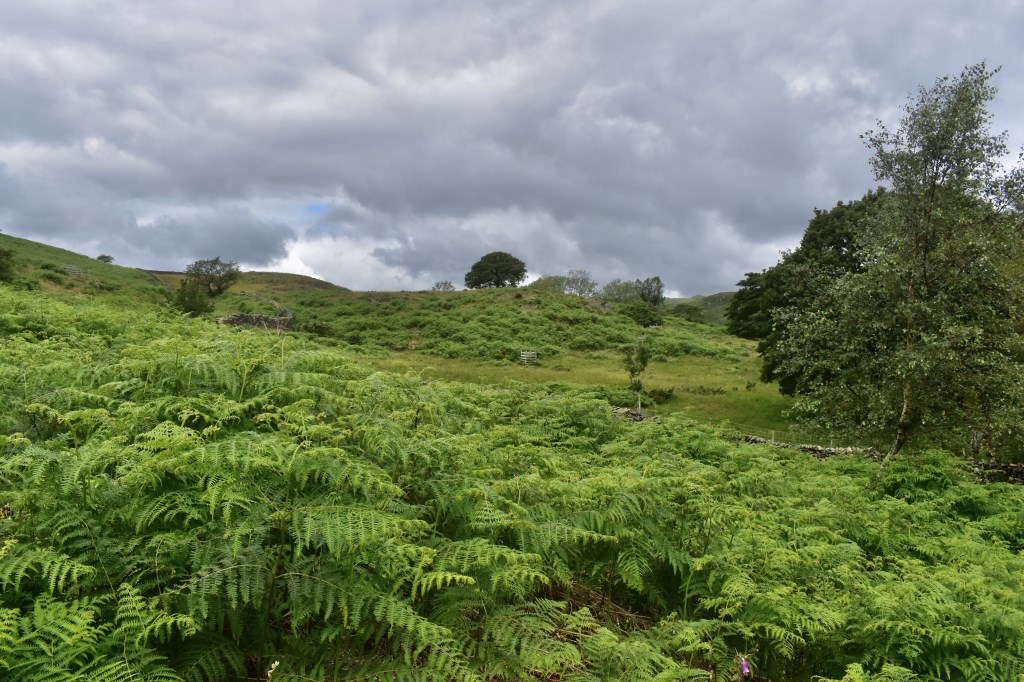
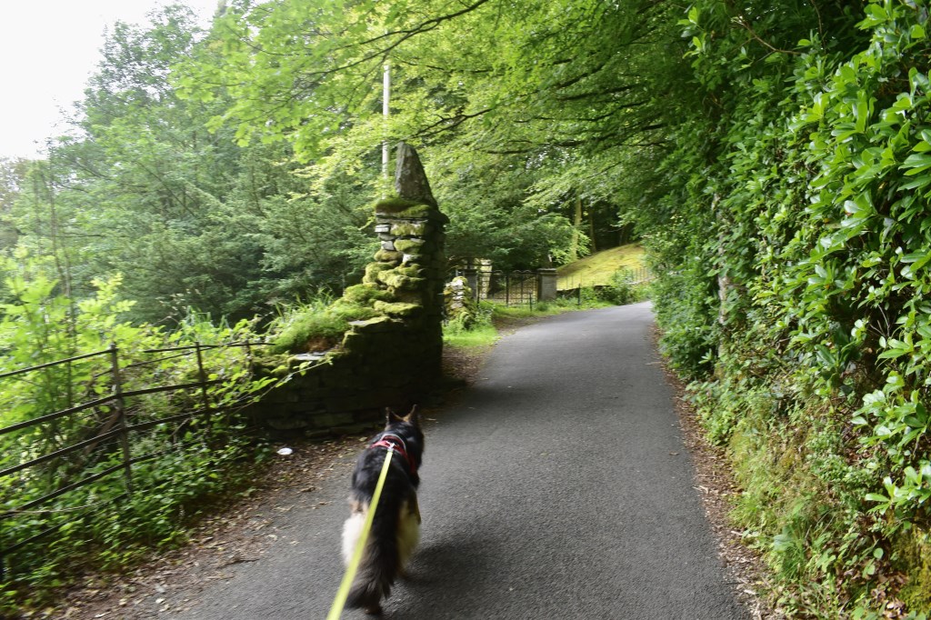
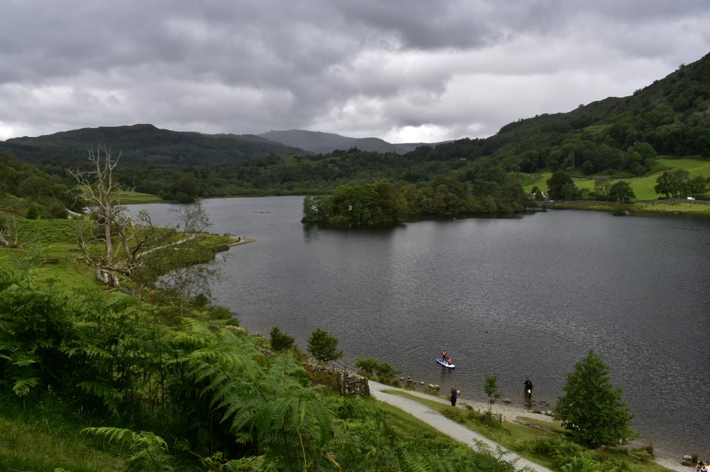
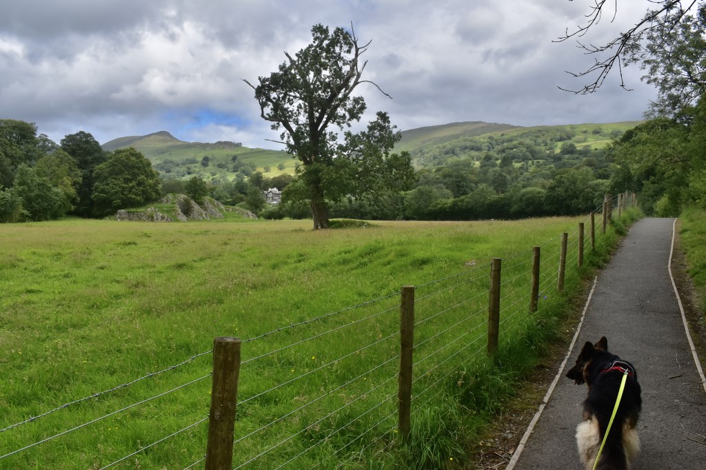
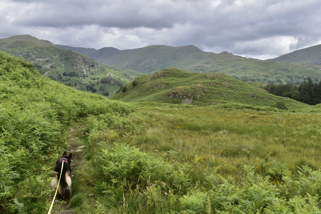
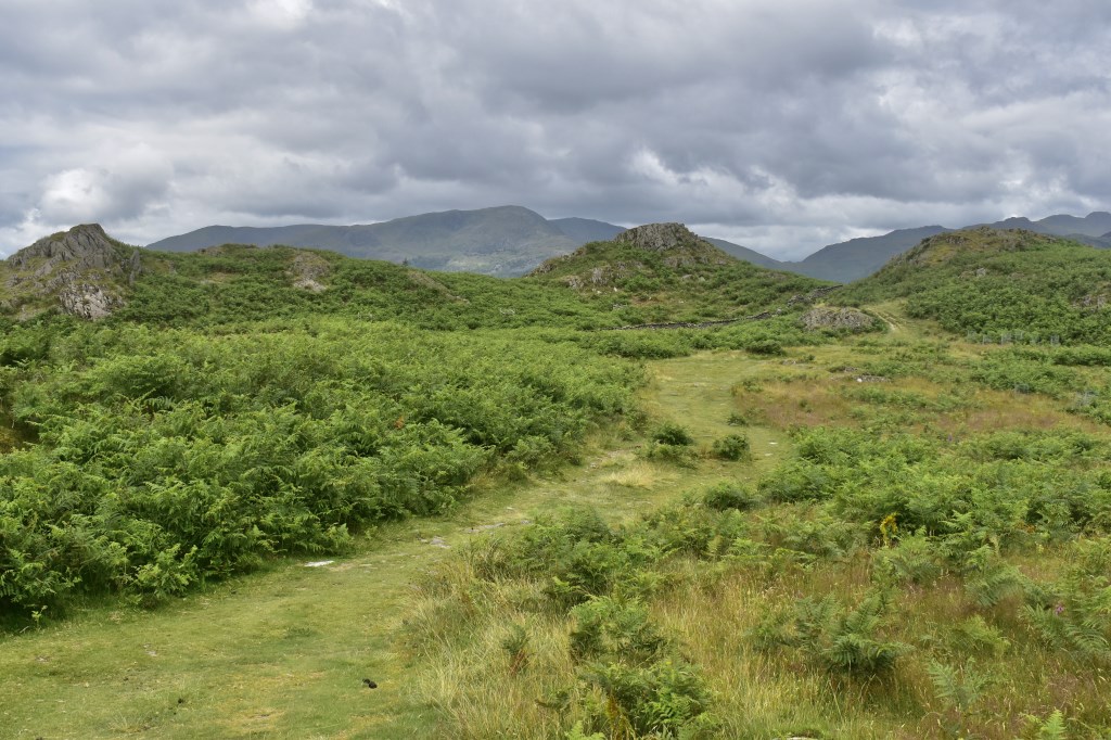
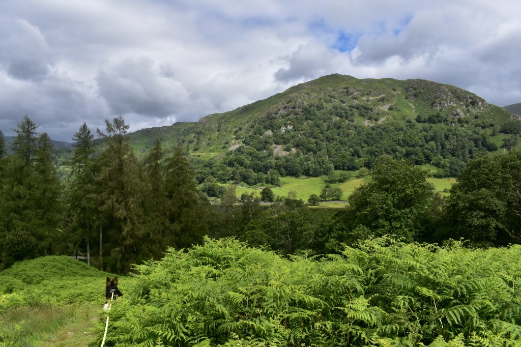
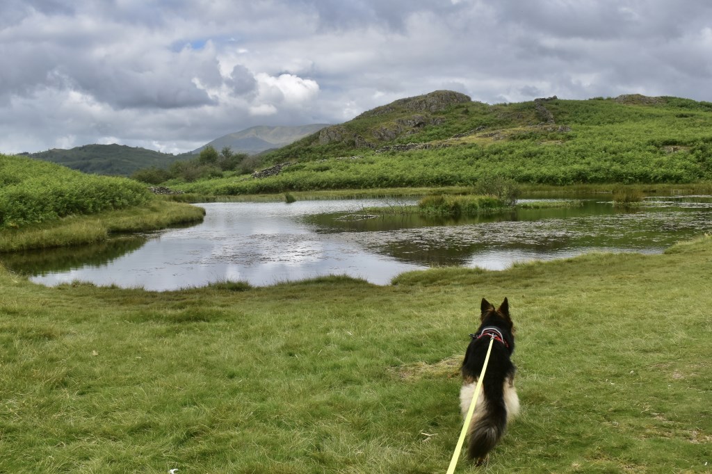
Yet another walk I was testing for my new book with my Alsatian using the OS 1:25000 map. We began from Ambleside and walked through Rothay Park before ascending via Loughrigg Brow to Lily Tarn. We then headed West passing Todd Crag before crossing Troughton Gill and turning right onto the bridleway. We then turned left after a small tarn and headed North along a rarely-used path to walk down to the bridleway at Jobson Close. We visited the quarry then headed East to Cote How and Pelter Bridge, where we turned South and followed the minor road past Field Foot, Loughrigg Holme and Fox Ghyll before crossing back into Rothay Park and back to the car.
Area :
Central Fells
The Vale of Keswick, provides separation from the Northern Fells whilst to the west runs the long valley of Borrowdale. The parallel eastern boundary is created by Thirlmere and the St Johns in the Vale. Grasmere to Windermere forms the remainder of the eastern boundary. In the west, Stake Pass descends into Great Langdale.