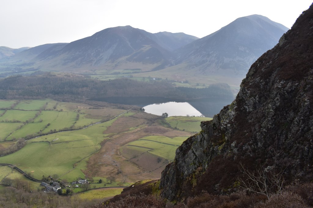
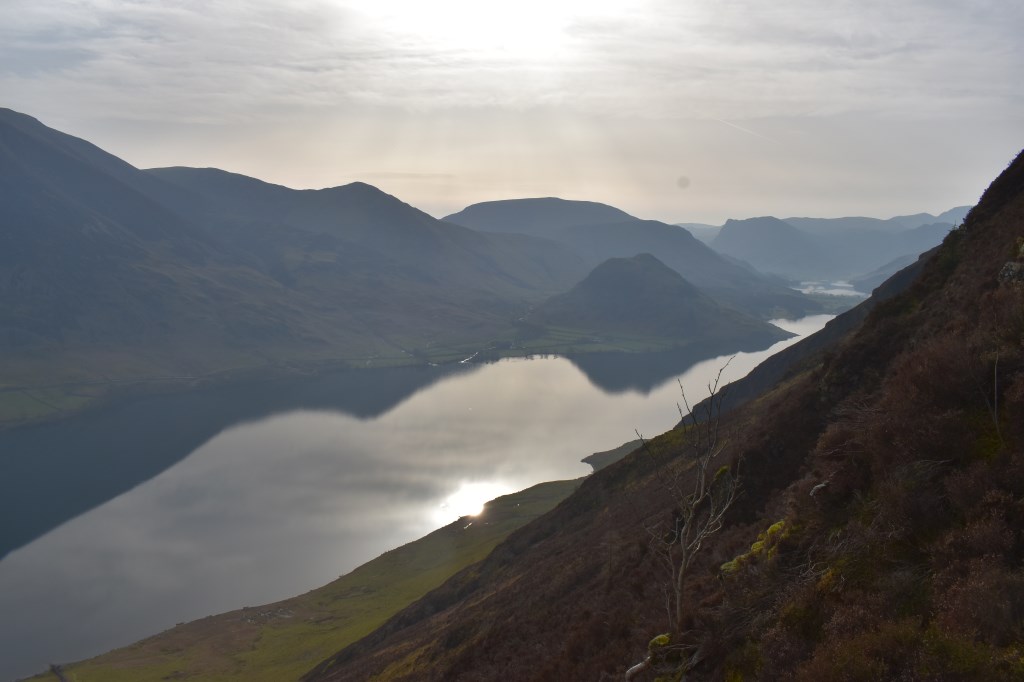
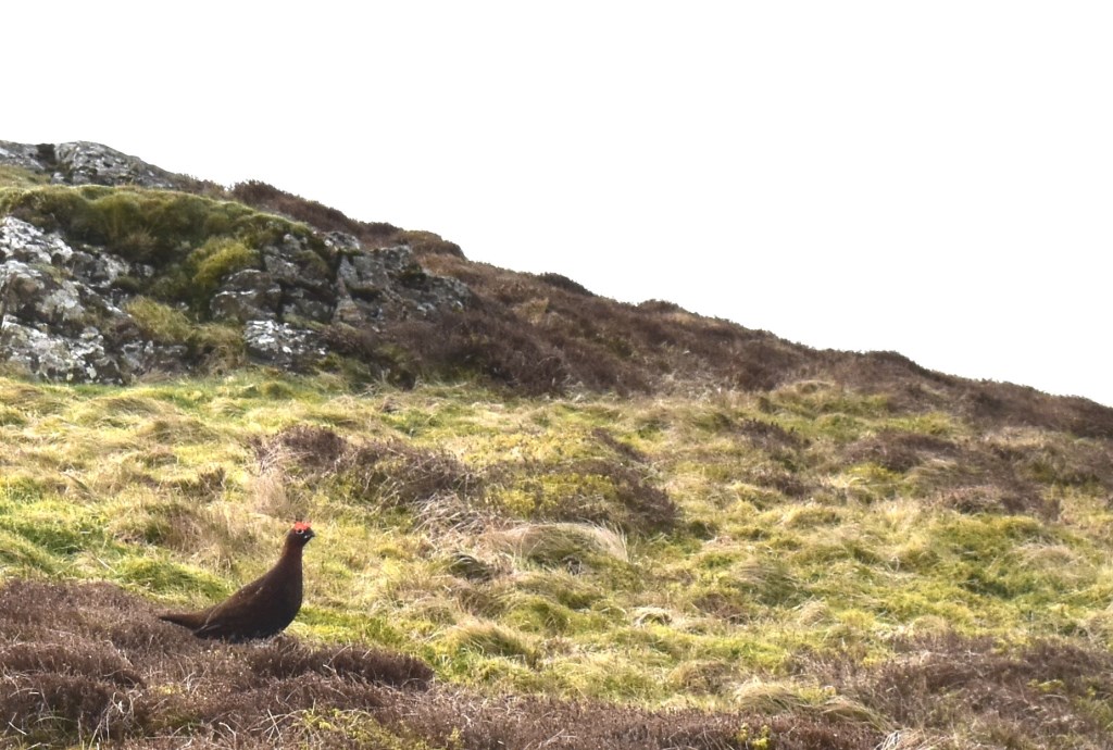
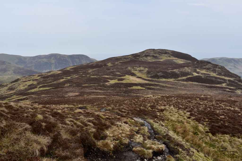
Beginning from Lanthwaite Woods I proceeded along the minor roads to Lowpark where I walked up through the woods to reach the bottom of Raven Crag. I climbed up the steep scree path onto White Crag and up onto the first summit of Mellbreak. I carried out some navigation practise exercises along the way to the second summit where I saw some Red Grouse! I continued down to Scale Knott and visited Scale Force before making my way to the lakeside path by Crummock Water which I followed back to Lanthwaite Wood and the car park.
Area :
North Western Fells
Essentially this area is encompassed by Lakes of Bassenthwaite, Derwent Water, Buttermere and Crummock Water with the southern boundary being the Honister Pass