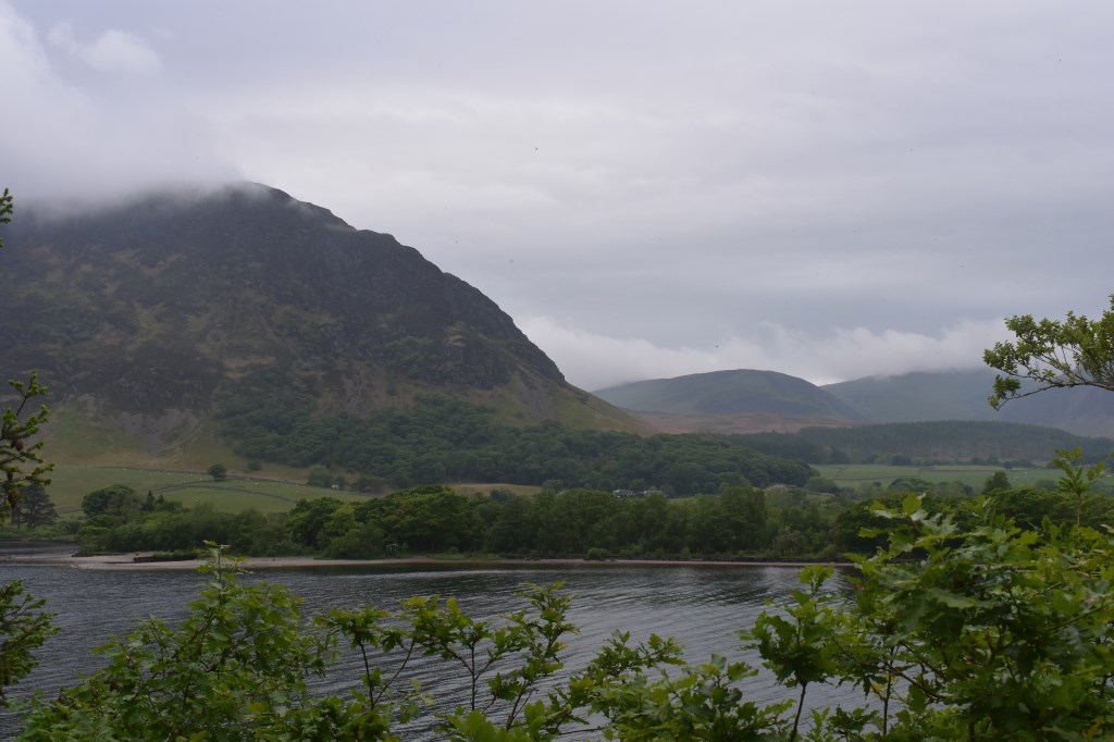
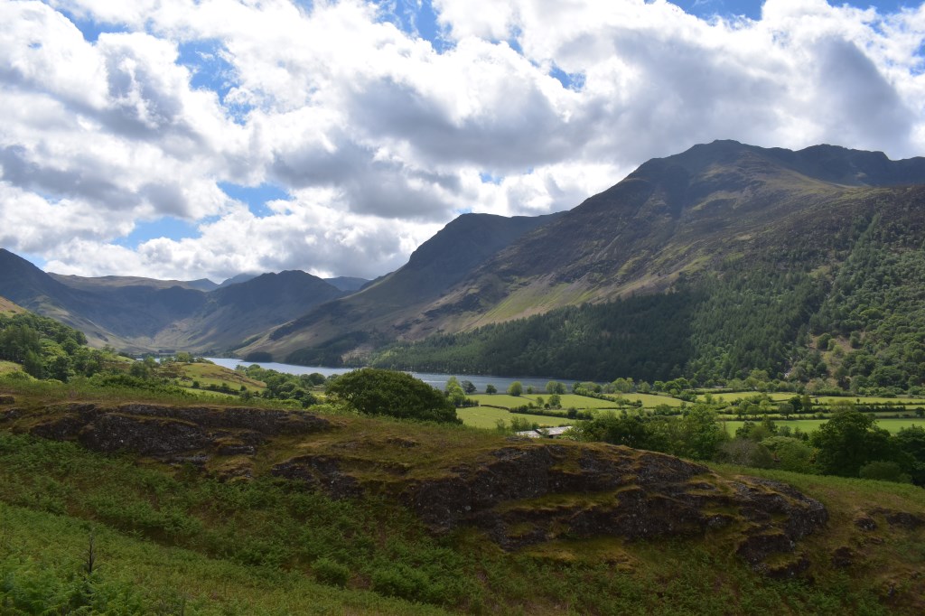
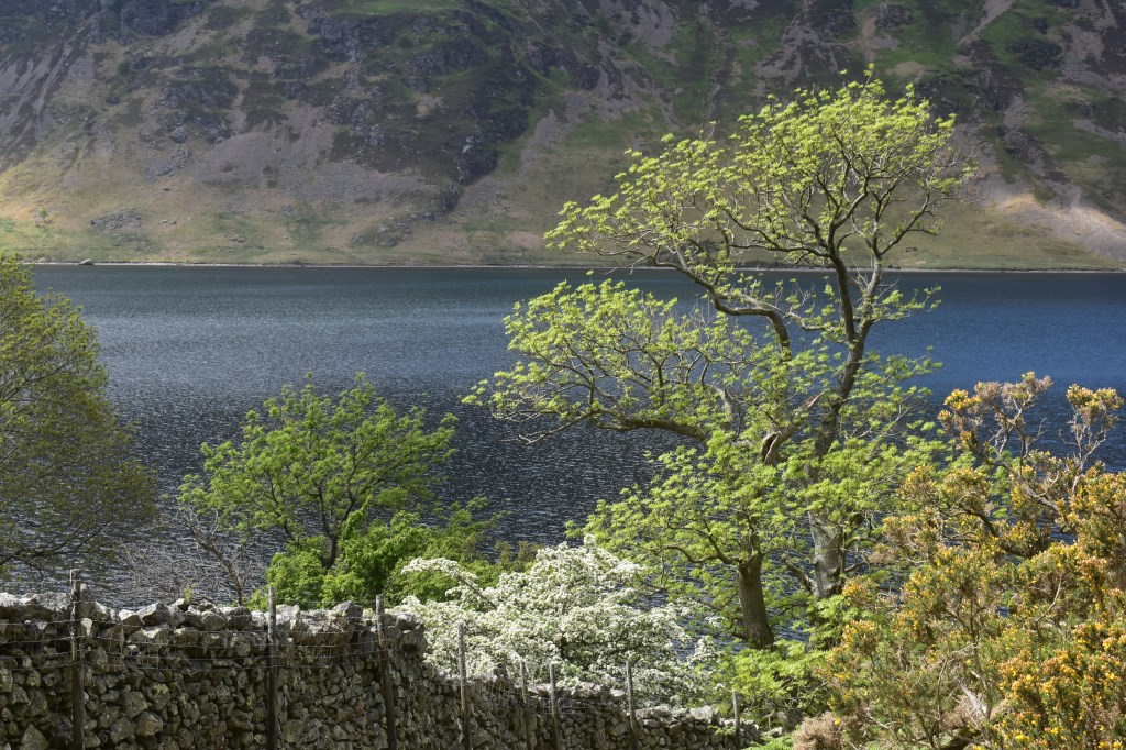
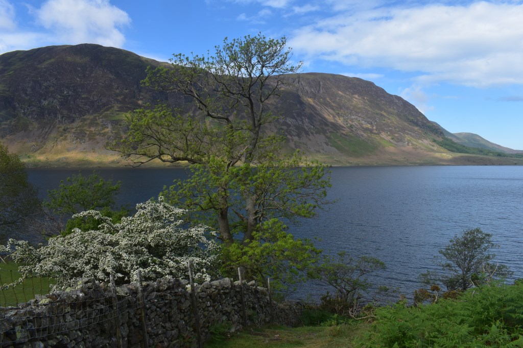
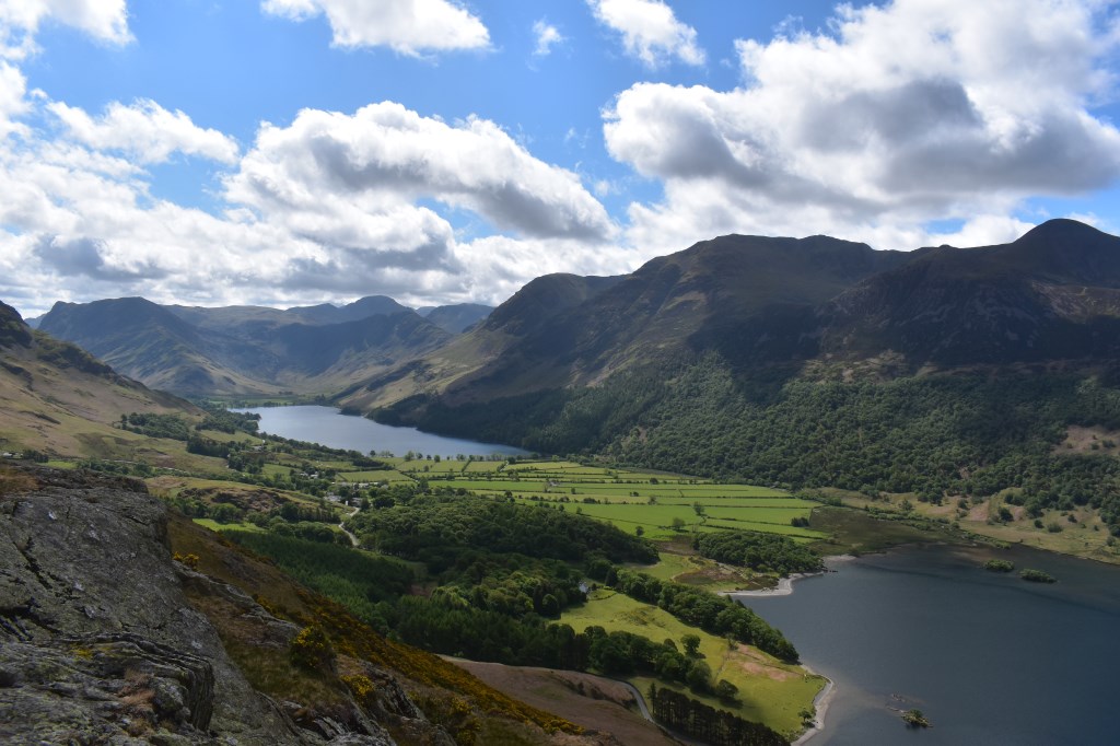
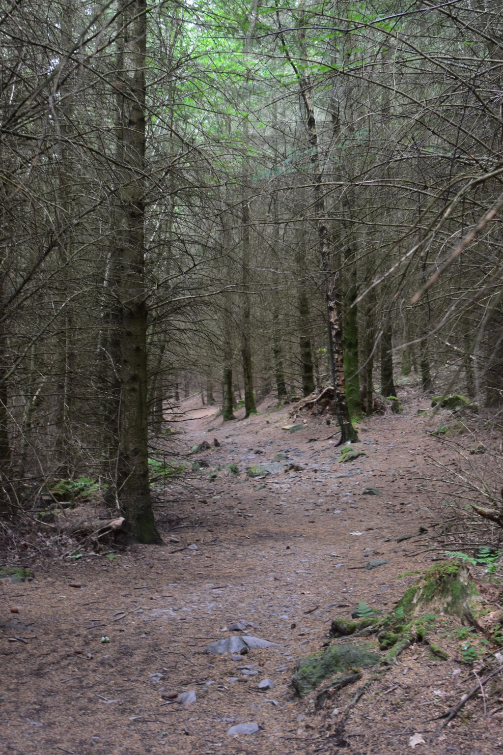
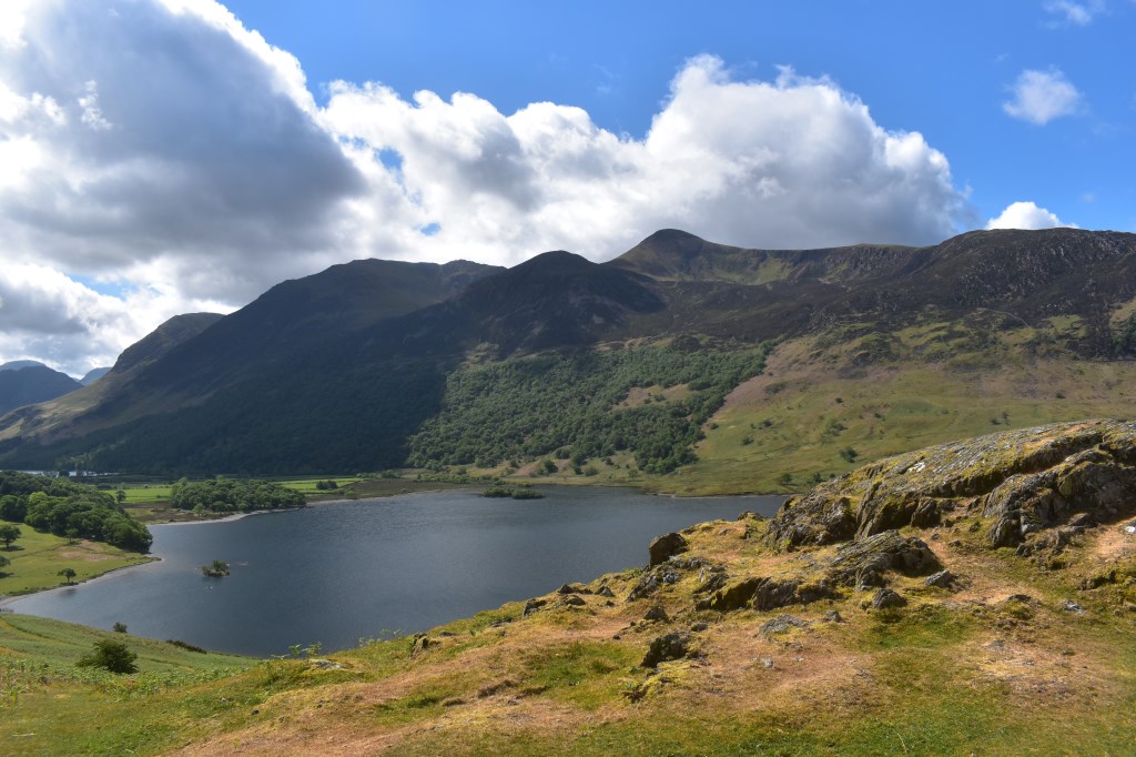
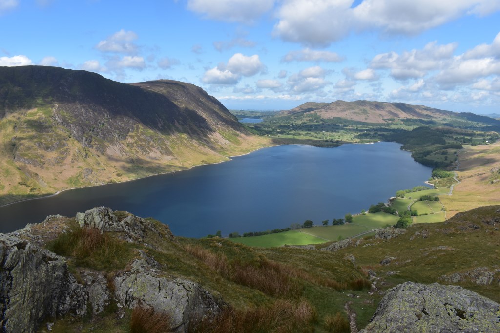
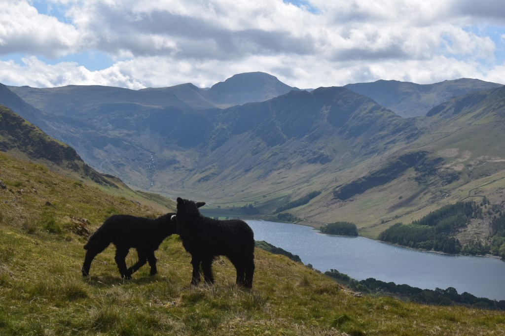
First walk after lockdown! I started in light rain from Lanthwaite Wood car park and followed the Eastern edge of the lake (Crummock Water) until I reached Cinderdale Common. I planned to walk through High Rannerdale but it was closed off so I walked along the road to Hause Point and climbed onto Rannerdale Knotts from there. Then I walked on to Low Bank before turning right beneath Whiteless Breast to head down to Grassgarth Coppice. I followed the road to the NW passing Great Wood then took the bridleway back to Hause Point. I followed the road back to Cinderdale Common then returned to the car the same way I approached beside the lakeshore.
Area :
North Western Fells
Essentially this area is encompassed by Lakes of Bassenthwaite, Derwent Water, Buttermere and Crummock Water with the southern boundary being the Honister Pass