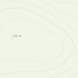
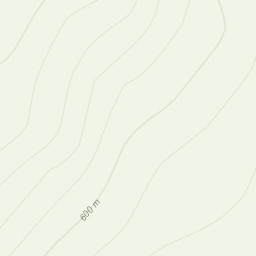
From Llyn Hywel ascended steeply over difficult ground around the lake and up Rhinog Fach, then south along the ridge and up to Y Llethr and cairn, following the wall south the south east along Crib y rhiw to Diffwys then West to eroded path and Pont Scethin. Newish boots and hot feet and today feet very sore every time I took a step from when we dropped off the ridge to end (9km) never had pain like it !The same pain every time I put my feet down so walking slow just made it go on longer. Soothed feet in water under the bridge. Power walked past the standing stones, old settlement along the track before turning north back to viewpoint.
Got sunburnt on one side (ridge walking 🤣). Charged phone with solar chargers. Beautiful views. Saw no one until we reached the valley. Mostly trackless/pathless except valley.
Area :
Rhinogydd
The Rhinogydd (a Welsh plural form, often anglicised as Rhinogs and also known by the alternative Welsh plural Rhinogau) are a range of mountains located east of Harlech in North Wales. The name Rhinogydd derives from the names of two of the more famous peaks, Rhinog Fawr and Rhinog Fach, although the greatest elevation in the range is reached by Y Llethr, 756 m.