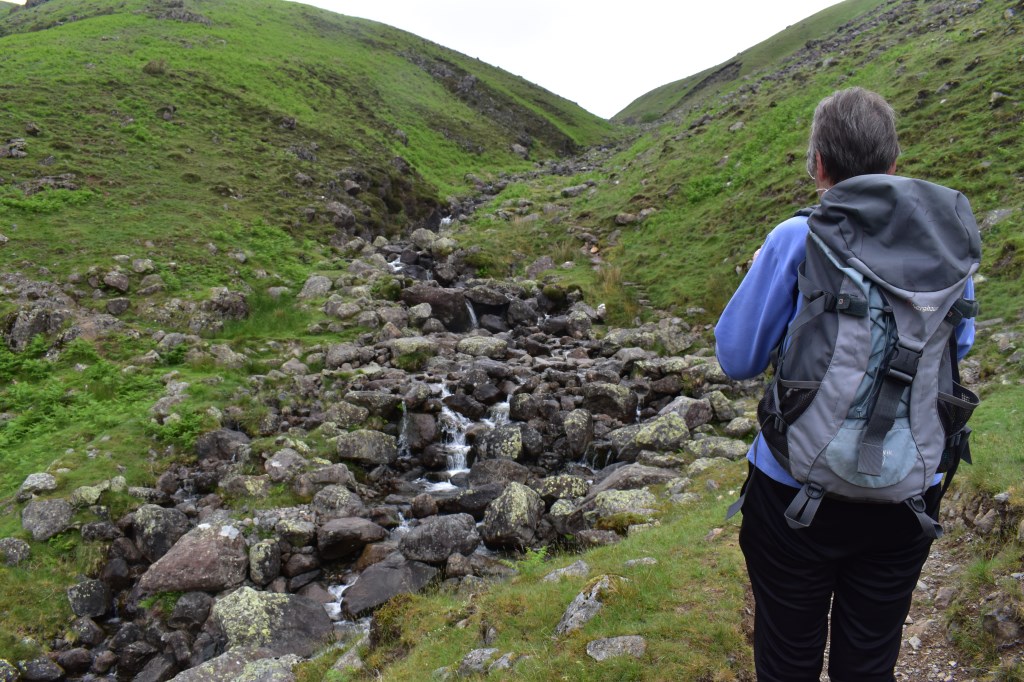
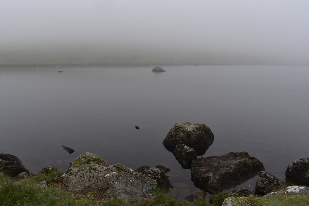
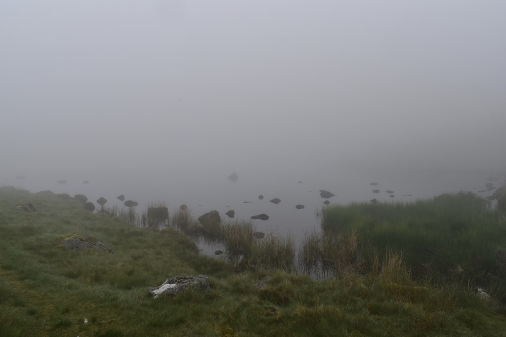
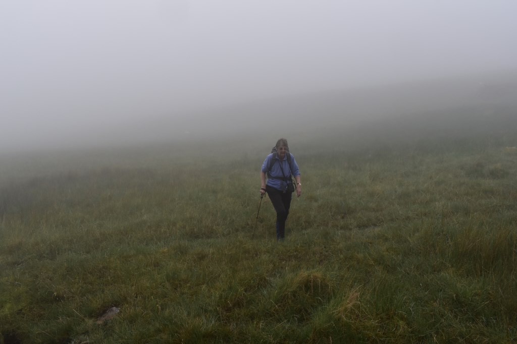
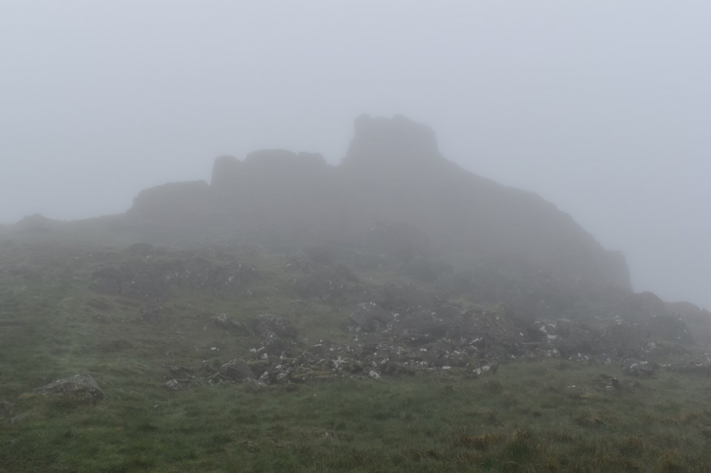
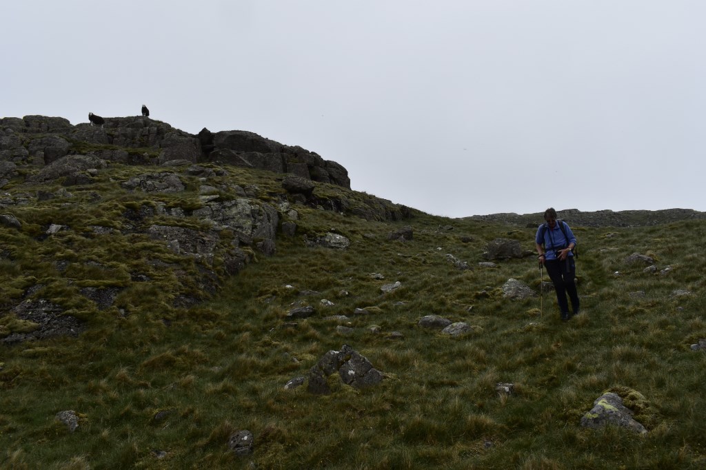
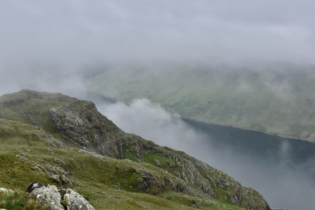
I led a 74 year old up to Middle Fell. The lady is an experienced fell walker but cannot read a map, instead she relies on others to lead the way. The weather started clear as we headed up the side of Greendale Gill but the clouds soon came in and by the time we reached Greendale Tarn, visibility was less than 50m. We continued up towards Rough Crag and onto the summit of Middle Fell. The cloud thinned but stayed low throughout, eventually clearing as we headed down. We took a detour to the area of Goat Crag in order to enjoy the views over the lake, before returning to the valley via the footpath. Once at the bottom we followed the road to the lake shore for a time before returning to the start point.
Area :
Southern Fells (Scafell Pike)
The Southern Fells Include Scafell Pike, the highest peak in England, occupy a broad area to the south of Great Langdale, Borrowdale and Wasdale. High and rocky towards the centre of the Lake District, the Southern Fells progressively take on a moorland character toward the south west. In the south east are the well known Furness Fells, their heavily quarried flanks rising above Coniston Water.