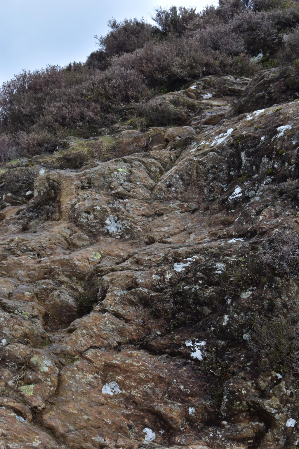
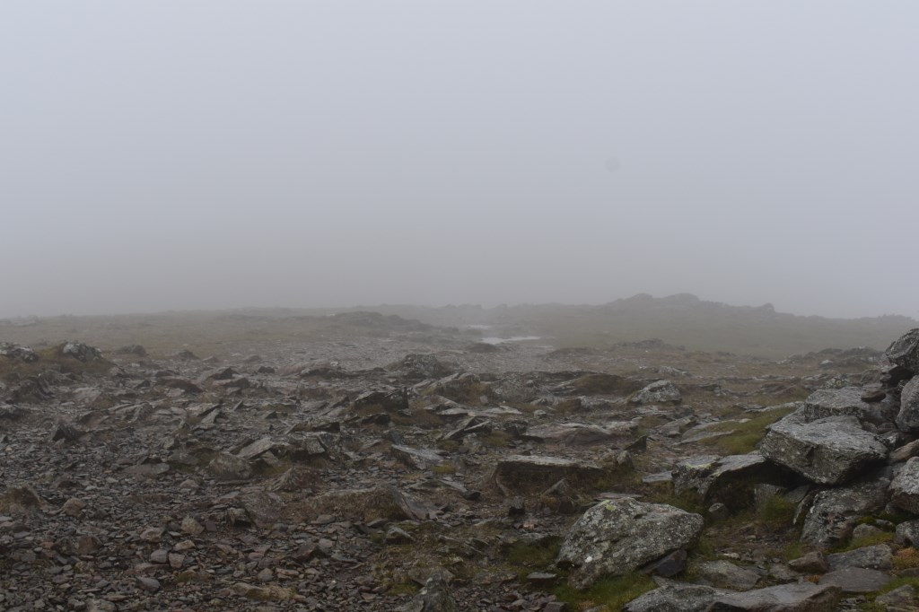
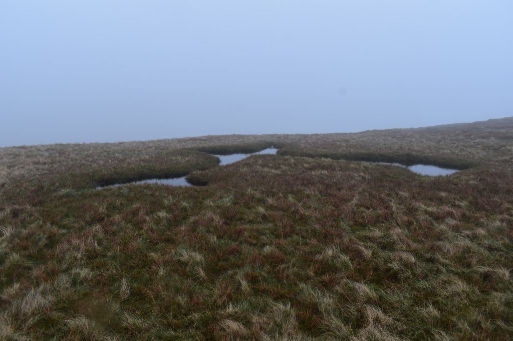
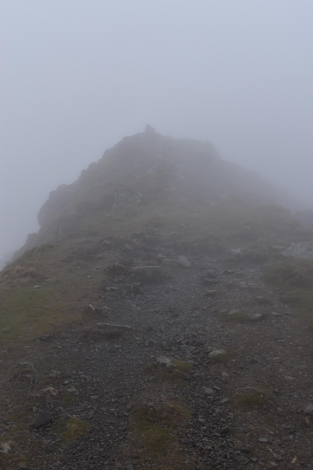
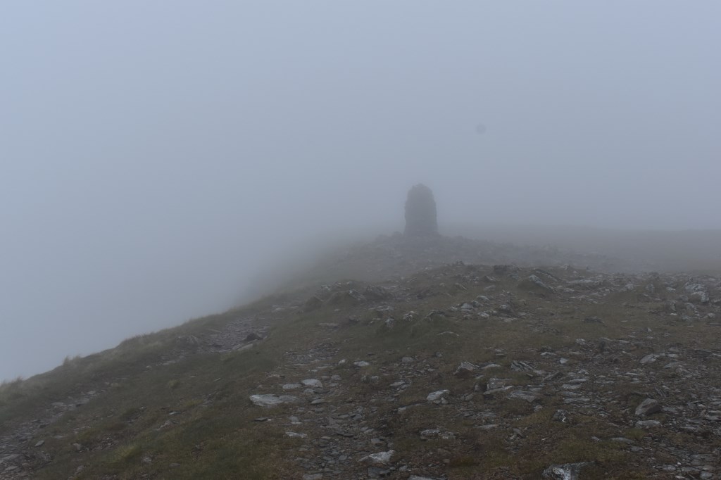
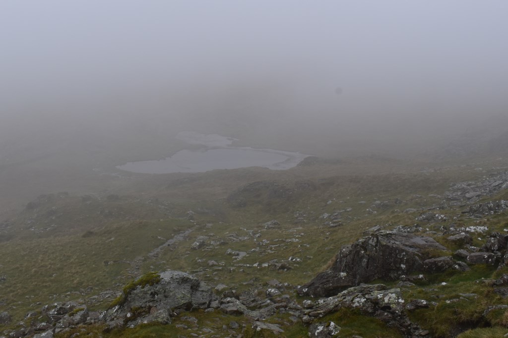
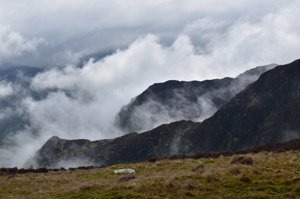
I began the walk in light rain from Little Town and headed up Scope End and along the small grade 1 scrambles to High Crags, where the clouds descended and the rain became heavier. I continued onto the summit of Hindscarth in low visibility and navigated to Hindscarth Edge where I practised timing and pacing to find a small un-named tarn, before continuing in poor visibility onto the summit of Dale Head. I dropped down to Dalehead Tarn and climbed up to the summit of High Spy, again in poor visibility. Continuing along to Maiden Moor the clouds began to lift and by the time I had reached the summit of Maiden Moor the clouds had cleared, with excellent visibility. I proceeded to Hause Gate where I turned West and followed the bridleway back to Little Town. An enjoyable day!
Area :
North Western Fells
Essentially this area is encompassed by Lakes of Bassenthwaite, Derwent Water, Buttermere and Crummock Water with the southern boundary being the Honister Pass