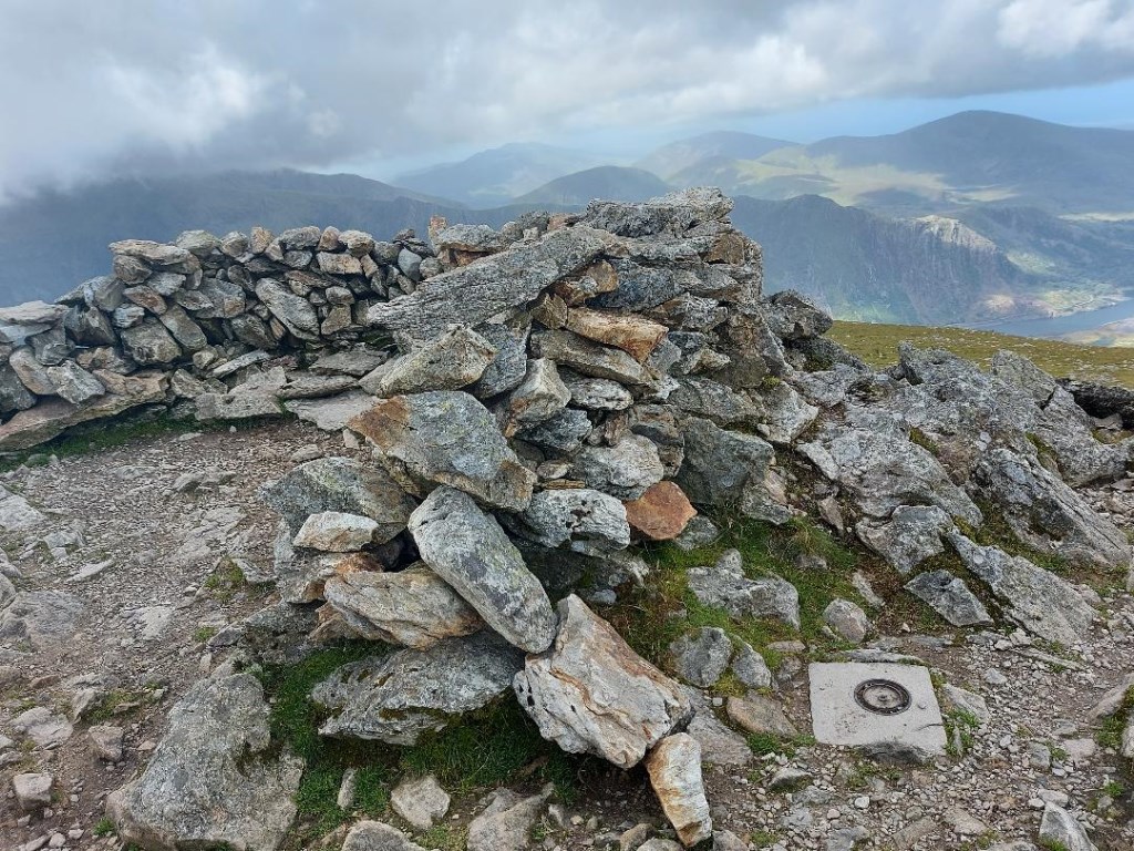
Glyderau Ridgeline (further explorations): Y Garn (947m) and Foel Goch (831m). Camped over night at Dolgam in Capel Curig (had completed an ML Steep Ground course with Paul Poole the previous day). High winds all night even down in the valley. Started the journey from Ogwen Cottage, walked up to Llyn Idwal, then turned west up Pinnacle Crag to the Glyderau ridge line, turning south ~100m to make the summit of Y Garn (947m). Though there were high gusty winds in Cwm Idwal below, once on Pinnacle Crag I was in the lee of the mountain so only occasional gusts. However, once I crossed onto the ridgeline, and then summits, the wind speed was a steady 34mph with gusts to 44mph, as measured with my Kestral wind meter (photo below). I tried to take a photo of the meter registering 44mph, but I could not hold the camera and meter, and stay standing at 44mph. Those wind gusts continued as I turned north off the Y Garn summit and headed to Foel Goch (831m). Much of the journey to this point was on trails identified on the map. From Foel Goch I descended off the west side of the summit and then north and then left the mapped trails and headed on a steep descent down into Cwm Bual. Then turned southeast into Cwm Coch , skirted the east end of Creigiau Gleision, parallel to the base of The Mushroom Garden. Again passing the eastern ascent of Pinnacle Crag and back into Cwm Idwal. The winds were still gusting in Cwm Idwal, creating wind waves on Llyn Idwal, and a little light rain began to fall. Circumnavigated Llyn Idwal, passing the base of Devils Kitchen, and returned to returned to Ogwen Cottage.
Total Time: 5 hours 18 minutes; Total Distance: 12km; Total Ascent: 1,318m
Journey Planning
Weather: Reviewed weather reports from the Met Office Mountain forecasts for Capel Curig, Ogwen Cottage, and Y Garn. Also checked MWIS and 'The Weather Channel.' This was the first time I checked with 'The Weather Channel.' I do like their hourly break down in the forecast. The detail is seems more correct than the Met Office. For example, the Met Office forecast will show 5 hours in a row of rain probability at 10% each hour, but The Weather channel will show, 17% then 8% then 23% etc. I will continue to monitor if that level of detail actually works out in reality. All forecasts showed high winds, even in the valley all night, and on the summits, interestingly, the high gusts were shown at 44mph. That is the highest result I got on my Kestral Wind Meter.
Route Planning: For planning purposes I used OS Maps OL 17 and Harvey maps Superwalker XT25 for Snowdonia North, both 1:25,000 maps. I did not use the OS Map app on my computer this time as I am now getting familiar with the Glyderau area and familiar with the terrain and time it takes to travers it. I forecast the time for this walk right at 5 hours. Two extended stops to talk to people on the summit of Y Garn and some people asking questions in Cwm Idwal ( they were not coping with the wind and light rain and were not dressed for the conditions ( and had a small child in a backpack), resulted in 5 hours and 18 minutes. I did not want to go much beyond 5 hours as - Friday traffic back to Manchester.
Risk Assessment: The primary risk was the high winds, with gale force gusts to 44mph. One positive effect of these winds were, after several days of rain, the ground under foot was dry. The wind was manageable, since I was pre-warned and pre-armed. I did need to layer up on the summits and ridgeline with both my midlayer and wind/rain hard shell (hoods up).
Area :
Glyderau
The Glyderau (a Welsh plural form, also known in English as the Glyders) are a mountain group in Snowdonia, North Wales. The name derives from the highest peaks in the range, Glyder Fawr and Glyder Fach. According to Sir Ifor Williams, the word "Glyder" derives from the Welsh word "Cludair", meaning a heap of stones.