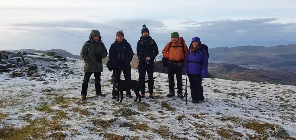
Location - Cadair Idris
Date 25/10/2021
Weather - 12hr gap In-between fronts, snow forcasted before and after, bitterly cold wind but clear skies to begin with, cloud coming in later.
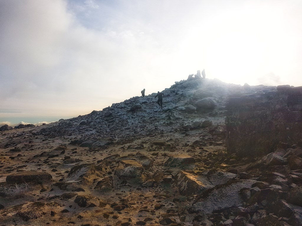
Ground conditions - Frozen ground 750m, small sections of snow, icy surfaces, crampons and ice axe not required.
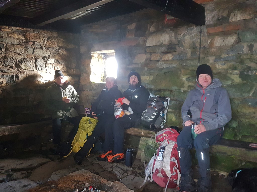
Group - 5 persons with 3 experienced ML's plus tireless dog
Route - Easter Ridge to summit to allow maximum time on high ground with views. Also exploration of short rocky section at start to gain ridge, access suitability for walking groups.
Area :
Cadair Idris
Cadair Idris or Cader Idris is a mountain in Gwynedd, Wales, which lies at the southern end of the Snowdonia National Park near the town of Dolgellau. The peak, which is one of the most popular in Wales for walkers and hikers,[1] is composed largely of Ordovician igneous rocks, with classic glacial erosion features such as cwms, moraines, striated rocks, and roches moutonnées.