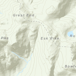
Borrowdale Valley/Stonethwaite. Started from a parking spot (at the red phone box) in Stonethwaite. Crossed Stonethwaite bridge over Stonethwaite Beck. Turned South on Cumbria Way, along Willygrass Gill passing Gallen Force Falls, to the footbridge at Smithymire Island, crossing back over to ascend to Bleak How and then to the summit of Eagle Crag (521m). Pressed on to Sergeant's Crag (571m), then on to High Raise (762m). Returned to Stonethwaite via Greenup Edge and down Greenup Gill.
Total Time: 6 hours 5 minutes; Total Distance: 12.65km; Total Ascent: 1,346m
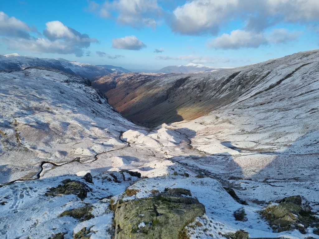
Temperatures were clear and cold, with good visibility. Temperature was -1C in the valley at the start, with the forecast saying -4C on summits, with winds of 32mph to 41mph, creating a 'feels like' of -14C. It had snowed on the summits and ridges over night before the walk. Walking in the snow was easy going. However, the climb up to Eagle Crag from the valley was very slow, as most of the elevation gain came on that first ascent, and the rocks of the Crab had periodic black ice to negotiate around. On the ridge line between Eagle Crag and Sergeant's Crag would have been marshy, but that was frozen, so again slow negotiation of the terrain across the snowy heather was the least risky route underfoot. There was no actual trail between Sergeant's Crag and High Raise (or it was covered in snow if there is one), but with good visibility I just aimed off to the west of Long Crag, and then straight at High White Stones to reach the summit trig point on High Raise.
Route planning included weather research on MWIS ( watch the Fleeting View pretty much daily), the Met Office 'Special Forecasts' for Mountains - Lake District, and XC Weather for hourly updates. The forecast were very accurate for temperature, wind speed, and visibility. And had predicted the level of snow the night before.
Route planning for navigation used OS OL4 1:25000, and OS Maps app on my computer. I created the route and printed an A4 map, which I laminated. These A4 printouts, which are to scale, are much easier to deal with on the hill, especially in the wind. I also used the Cicerone "Great Mountain Days in the Lake District" book by Mark Richards. This was especially helpful in first, identifying the best parking spot to start (the red phone box in Stonethwaite) and the best approach to Eagle Crag, which was a bit complicated, but planned in detail before the start.
This was a 2 day trip to the Lake District, camping at the Borrowdale YHA Camp Site this evening, and another walk scheduled for tomorrow.
Area :
Central Fells
The Vale of Keswick, provides separation from the Northern Fells whilst to the west runs the long valley of Borrowdale. The parallel eastern boundary is created by Thirlmere and the St Johns in the Vale. Grasmere to Windermere forms the remainder of the eastern boundary. In the west, Stake Pass descends into Great Langdale.