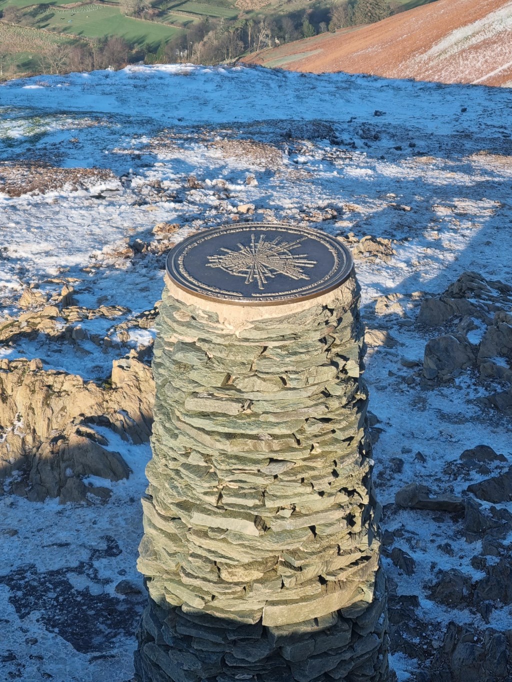
Borrowdale Valley to High Spy (653m) Maiden Moor (576m) Cat Bells (451m) and Castle Crag (290m). Started from the Borrowdale YHA (where I stayed the night before between walks). Walked North and skirted to the east of Johnny Wood and then turned west through Scaleclose Coppice to ascend westward up Tongue Gill to the ridgeline that leads north to High Spy. Tongue Gill constituted a large percentage of the elevation gain to High Spy. Very interesting caves and mine shafts in the unused Rigg Head Quarries near the top of the ridge. Turned north at Wilson's Bield to the summit of High Spy. Then on continued along the ridge to Maiden Moor, and then Cat Bells. After reaching the Cat Bells summit, turn back south to drop off the ridge at Hause Gate to the Borrowdale Valley and the River Derwent. Then turned south along the trail at Yewdel Knott then High Close to join the Cumbria Way. Continued south to Castle Crag, stopping to explore the caves, including the famous Millican Dalton Cave. Then along the River Derwent and back to the Borrowdale YHA.
Total Time: 6 hours 6 minutes; Total Distance: 16.26km; Total Ascent: 1,579m
Route planning included weather research on MWIS ( watch the Fleeting View pretty much daily), the Met Office 'Special Forecasts' for Mountains - Lake District, and XC Weather for hourly updates. The forecast were very accurate for temperature and visibility, fortunately the wind speed was lower than forecast. Much more pleasant than yesterday.
Route planning for navigation used OS OL4 1:25000, and OS Maps app on my computer. I created the route and printed an A4 map, which I laminated. These A4 printouts, which are to scale, are much easier to deal with on the hill, especially in the wind.
Area :
North Western Fells
Essentially this area is encompassed by Lakes of Bassenthwaite, Derwent Water, Buttermere and Crummock Water with the southern boundary being the Honister Pass