Start and finish at Honister Slate Mine. Climbed due south up to Grey Knotts (697m), then Brandreth (715m), then Green Gable (801m) and the summit of Great Gable (899m), then turned back northeast to Base Brown (646m), and then descended via Hanging Stone and the Seathwaite Slabes to the valley, then continued northeast to Seatoller, and then due west back up from the valley to Honister Pass and the Honister Slate Mine.
Start Time: 9:20 - Finish Time 16:10 - Total Time 6 hours 50 minutes; Total Distance: 12.46km
Route Planning included review of OS OL4 Explorer 1:25000 map for overview, and OS Maps App plan printed and laminated. The route was walked as planned.
Weather reports were reviewed on Met Office Special Forecast - Mountains, for Great Gable and Borrowdale, and MWIS report for The Lake District, as well as monitoring the MWIS "Fleeting View" videos in the days leading up to the walk.
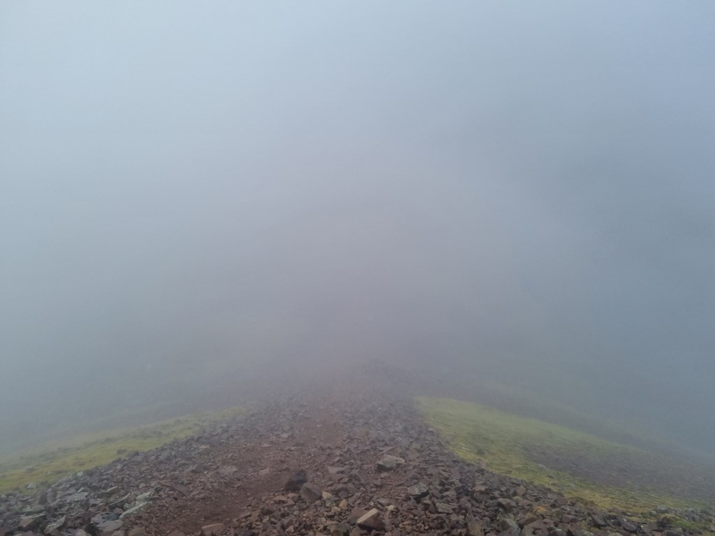
The forecasts were accurate regarding temperatures and wind, but visibility was forecast as 'Good' to 'Very Good' with sun shine starting mid morning. Turned out that if was heavy fog until around 3:00PM as I started the descent back down to the Valley floor at Base Brown and Hanging Stone.
I would usually have a GPS file from my SATMAP GPS, but it is under warranty service (for the second time), so I uploaded the planning file from OS Maps App.
Area :
Western Fells
The Western Fells form the southern wall of the Buttermere valley and the northern fence of Wasdale. Between the two lies Ennerdale so that in effect the group is the shape of a single horseshoe, each branch about 10 miles in length.
At the head of Ennerdale stands Great Gable. The southern arc of the group travels due west from Great Gable, the main ridge consisting of Kirk Fell, Pillar, Scoat Fell, Haycock and Caw Fell.